Frontier warfare and colonial cartography: 1921 Survey of India “Confidential” atlas documenting the British campaign in Waziristan.
Operations in Waziristan 1919 – 1920. Confidential. Serial No. 224.
$1,400
1 in stock
Description
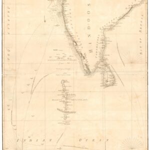
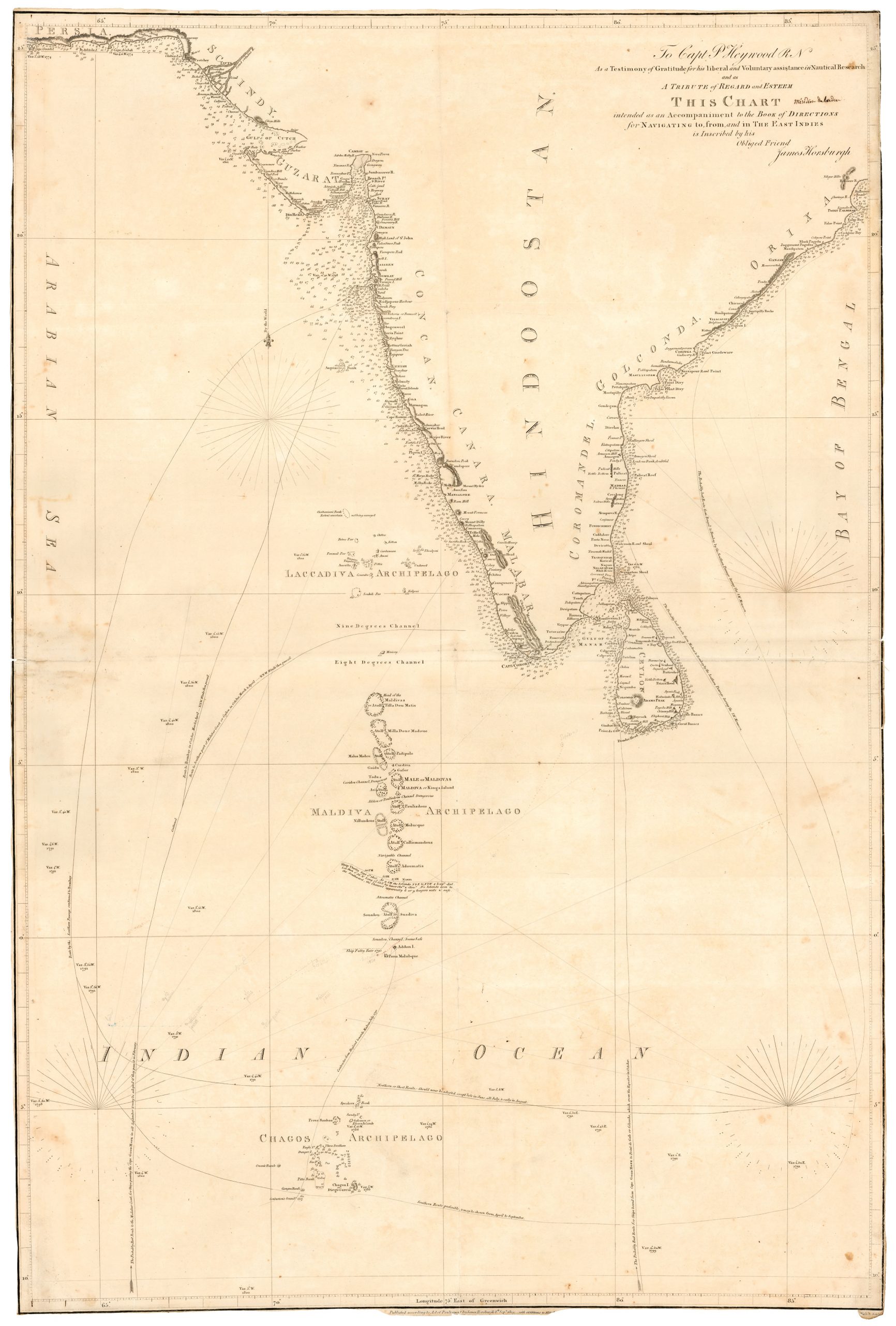
This highly detailed 1921 confidential British-Indian general staff report, produced by the Survey of India, documents the Waziristan military operations of 1919–1920 along the volatile frontier of the Northwest Boundary. The publication includes a frontispiece, 31 plates, seven maps (three of which are pocket-folded), and eight folding panoramic illustrations that chronicle both the terrain and troop dispositions. The maps provide tactical clarity on routes, native strongholds, topographic obstacles, and British positions. At the same time, the accompanying text analyzes operational strategy, lessons learned, and the emergent use of air power in tribal warfare.
Waziristan (now in Pakistan) had long been viewed by the British as a strategically critical and persistently unstable frontier region, inhabited by fiercely autonomous Waziri and Mahsud tribes. The 1919–1920 campaign followed the Third Anglo-Afghan War, during which boundary tensions and local insurrections compelled renewed military intervention. This report presents not just the operational narrative but also the institutional mindset of early 20th-century colonial warfare, combining detailed cartography with doctrinal reflection.
Cartographer(s):
The Survey of India, established in 1767 under Major James Rennell and expanded during British rule, served as the paramount cartographic and geodetic agency in India. By 1921, it had become central to mapping the subcontinent for both civil administration and military planning. In this instance, the Survey’s maps reflect the dual imperative of geographic precision and strategic control, making this report an indispensable source for scholars of South Asian military history, cartography, and colonial frontier dynamics.
Condition Description
Good. Some wear on cover. Fold lines and some marginal imperfections on maps, views, and illustrations.
References
OCLC 11497145.
Related products
-
-
Add to cart
- Asia, Pictorial maps
Peiping
- $1,250
-
-
-
![[Political broadside] Solidarity with the People and Students of the DPR of Korea.](https://neatlinemaps.com/wp-content/uploads/2022/10/NL-01603_thumbnail-1-300x300.jpg)
![[Political broadside] Solidarity with the People and Students of the DPR of Korea.](https://neatlinemaps.com/wp-content/uploads/2022/10/NL-01603_thumbnail-scaled.jpg)
![[Political broadside] Solidarity with the People and Students of the DPR of Korea.](https://neatlinemaps.com/wp-content/uploads/2022/10/NL-01603_thumbnail-scaled-300x300.jpg)