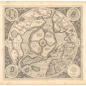
Early 17th century map of Spitsbergen surrounded by vignettes of whaling, fishing, and hunting.
[Greneland]
Out of stock
Description
Although labelled ‘Greneland,’ this map depicts Spitsbergen in the arctic, north of Norway; the confusion reflects the early English belief that the two were connected somewhere at more northern latitudes.
English interest was awakened following Henry Hudson’s voyage, during which he noted an abundance of whales. The map is flanked at the sides and bottom with scenes of whaling and whaling-related activities, hunting bears, and “seamorces” (i.e. walruses).
It was issued in Vol. III of the 1625 second edition of Purchas His Pilgrimes… The map accompanies the account of Robert Featherby, who in 1613 accompanied the fleet of Benjamin Joseph to Spitsbergen. The following year, 1614, he commanded a voyage on behalf of the Muscovy Company to nearby waters.
According to Purchas, the map is attributed to Thomas Edge, a captain who made a number of whaling voyages to the region.
Cartographer(s):
Samuel Purchas (ca. 1577 – 1626) was an English cleric who published several volumes of reports by travelers to foreign countries.
Condition Description
Tiny nick to lower right corner away from image, overall very attractive.
References


![[Arctic Exploration] Nord Polar Karte von V. v. Haardt.](https://neatlinemaps.com/wp-content/uploads/2024/05/NL-02108_thumbnail-300x300.jpg)
