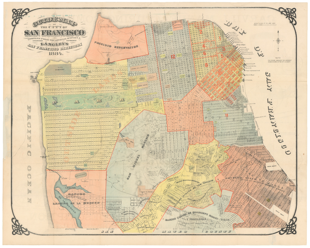
Scarce pocket map by the famous August Chevalier.
The up to date map of San Francisco: from latest U. S. Gov. and official surveys.
Out of stock
Description
A derivative of August Chevalier’s famous chromolithograph map of San Francisco, this is a lesser-known and seemingly scarcer issue, adapted for practical use during the Panama-Pacific International Exposition of 1915. Issued as a folding or pocket map, it was likely intended for the flood of domestic and international visitors to the fair. The ground plan of the exposition is carefully depicted in the Marina District at upper center, highlighting the map’s immediate context and utility.
Chevalier’s distinctive cartographic style is evident throughout. Important civic buildings and landmarks are shown pictorially, including the newly built San Francisco City Hall (completed 1915), the U.S. Mint, the Post Office, railroad depots, Sutro Baths, and the Cliff House. The city’s celebrated topography—its hills and ridges—is elegantly depicted with shaded relief and contouring, while the shoreline, Golden Gate, and Pacific frontage frame the map with geographic clarity.
Transportation receives special emphasis: streetcar and rail lines are carefully overprinted in red, enabling easy navigation for fair visitors and reinforcing San Francisco’s reputation as a modern, connected metropolis. Ferry routes and wharves are clearly delineated, underscoring the central role of the waterfront in daily urban life.
Context is everything
The map was published against the backdrop of a transformational moment in San Francisco’s history. Less than a decade earlier, the city had been devastated by the earthquake and fire of 1906, which destroyed over 80% of its built environment. The years that followed saw one of the most ambitious urban reconstruction efforts in American history, marked by the construction of grand civic buildings in the Beaux-Arts style, new transportation infrastructure, and improved utilities.
The Panama-Pacific International Exposition (February–December 1915) became the symbolic culmination of this rebirth. Ostensibly celebrating the completion of the Panama Canal, the fair also served as a triumphant declaration that San Francisco had risen from the ashes. Its sprawling grounds—represented on this map—featured monumental exhibition palaces, the Tower of Jewels, and national and international pavilions. More than 18 million visitors attended, making it one of the largest world’s fairs ever held in the United States.
Chevalier’s “Up-to-Date Map” captures the city in this exact moment of optimism and transformation: rebuilt, modern, and open to the world. The map not only functioned as a guide for exposition visitors but also as a promotional object, visually affirming San Francisco’s resurgence as the cultural and commercial capital of the Pacific Coast.
Cartographer(s):
August Chevalier was a San Francisco–based lithographer and publisher active in the late 19th and early 20th centuries, best known for his pictorial and promotional maps of the city. His work is characterized by its distinctive blend of cartography and illustration: hills are shaded with almost painterly attention, while major buildings, landmarks, and civic institutions are rendered pictorially. This hybrid style made his maps both practical guides and compelling visual records of a rapidly expanding metropolis. His celebrated large-format chromolithograph maps of San Francisco, issued in multiple editions, are among the most recognizable cartographic views of the city from the period.
Chevalier’s maps were not only decorative but also deeply tied to the civic identity and boosterism of San Francisco. Produced for both residents and visitors, they highlighted new infrastructure, civic architecture, and cultural amenities in a city eager to project itself as the “Gateway to the Pacific.” By the time of the 1915 Panama-Pacific International Exposition, Chevalier’s cartographic style had become part of the city’s visual language, shaping how locals and visitors alike navigated and imagined San Francisco. Today his works are valued not just for their artistic merit, but as vital historical documents of a city reinventing itself in the decades after the Gold Rush, the 1906 earthquake, and the triumph of the Exposition.
Condition Description
General wear, especially at the edges and where the booklet is still attached. Soft folds visible.
References