
August Chevalier was a San Francisco–based lithographer and publisher active in the late 19th and early 20th centuries, best known for his pictorial and promotional maps of the city. His work is characterized by its distinctive blend of cartography and illustration: hills are shaded with almost painterly attention, while major buildings, landmarks, and civic institutions are rendered pictorially. This hybrid style made his maps both practical guides and compelling visual records of a rapidly expanding metropolis. His celebrated large-format chromolithograph maps of San Francisco, issued in multiple editions, are among the most recognizable cartographic views of the city from the period.
Chevalier’s maps were not only decorative but also deeply tied to the civic identity and boosterism of San Francisco. Produced for both residents and visitors, they highlighted new infrastructure, civic architecture, and cultural amenities in a city eager to project itself as the “Gateway to the Pacific.” By the time of the 1915 Panama-Pacific International Exposition, Chevalier’s cartographic style had become part of the city’s visual language, shaping how locals and visitors alike navigated and imagined San Francisco. Today his works are valued not just for their artistic merit, but as vital historical documents of a city reinventing itself in the decades after the Gold Rush, the 1906 earthquake, and the triumph of the Exposition.
-
-
Add to cart
 Quick View
 - Michael's Collection, San Francisco
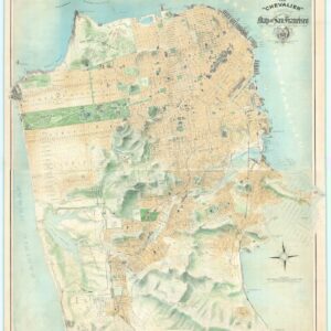
The “Chevalier” Commercial, Pictorial and Tourist Map of San Francisco From Latest U.S. Gov. and Official Surveys.
- $49,500
- The greatest San Francisco map ever made.
-
-
-
-
Add to cart
 Quick View
 - San Francisco
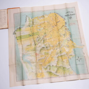
The “Chevalier” Commercial, Pictorial and Tourist Map of San Francisco From Latest U.S. Gov. and Official Surveys. Designed-Engraved And Copyrighted By Aug. Chevalier, Lithographer Publisher, 507 Mission St. San Francisco.
- $2,900
- Chevalier's famous map of San Francisco for the 1915 Exposition with original booklet.
-
-
Archived
- Out of Stock
- California, San Francisco
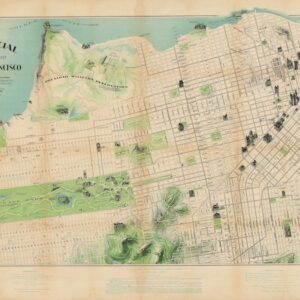
The Commercial Pictorial and Tourist Map of San Francisco.
- The extremely rare first edition map from San Francisco's greatest early 20th century cartographer.
- Read moreQuick View
-
- Out of Stock
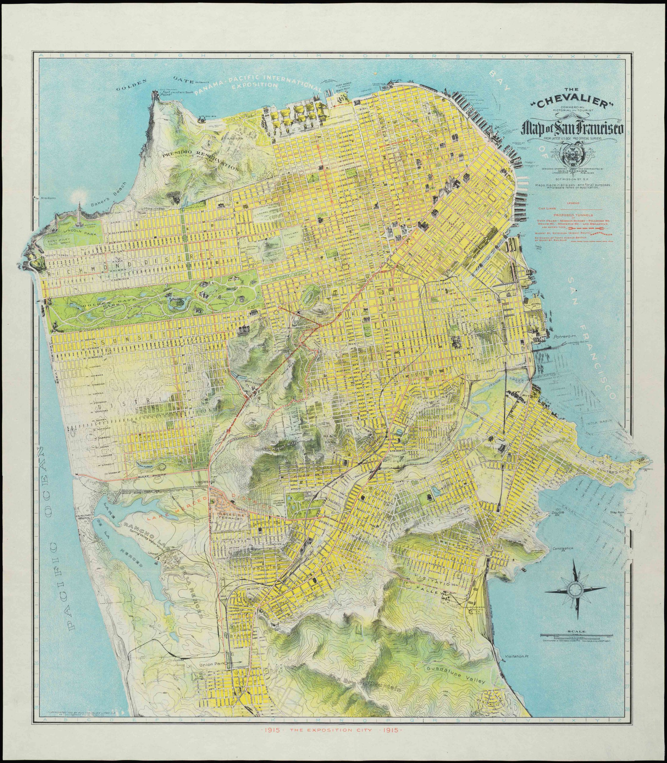
- San Francisco
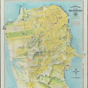
The “Chevalier” Commercial, Pictorial and Tourist Map of San Francisco From Latest U.S. Gov. and Official Surveys. Designed-Engraved And Copyrighted By Aug. Chevalier, Lithographer Publisher, 507 Mission St. San Francisco.
- Chevalier's famous map of San Francisco for the 1915 Exposition.
- Read moreQuick View
-
- Out of Stock
- San Francisco
The “Chevalier” Commercial, Pictorial and Tourist Map of San Francisco From Latest U.S. Gov. and Official Surveys. Designed-Engraved And Copyrighted By Aug. Chevalier, Lithographer Publisher, 507 Mission St. San Francisco.
- Chevalier's famous map of San Francisco for the 1915 Exposition.
- Read moreQuick View
-
- Out of Stock
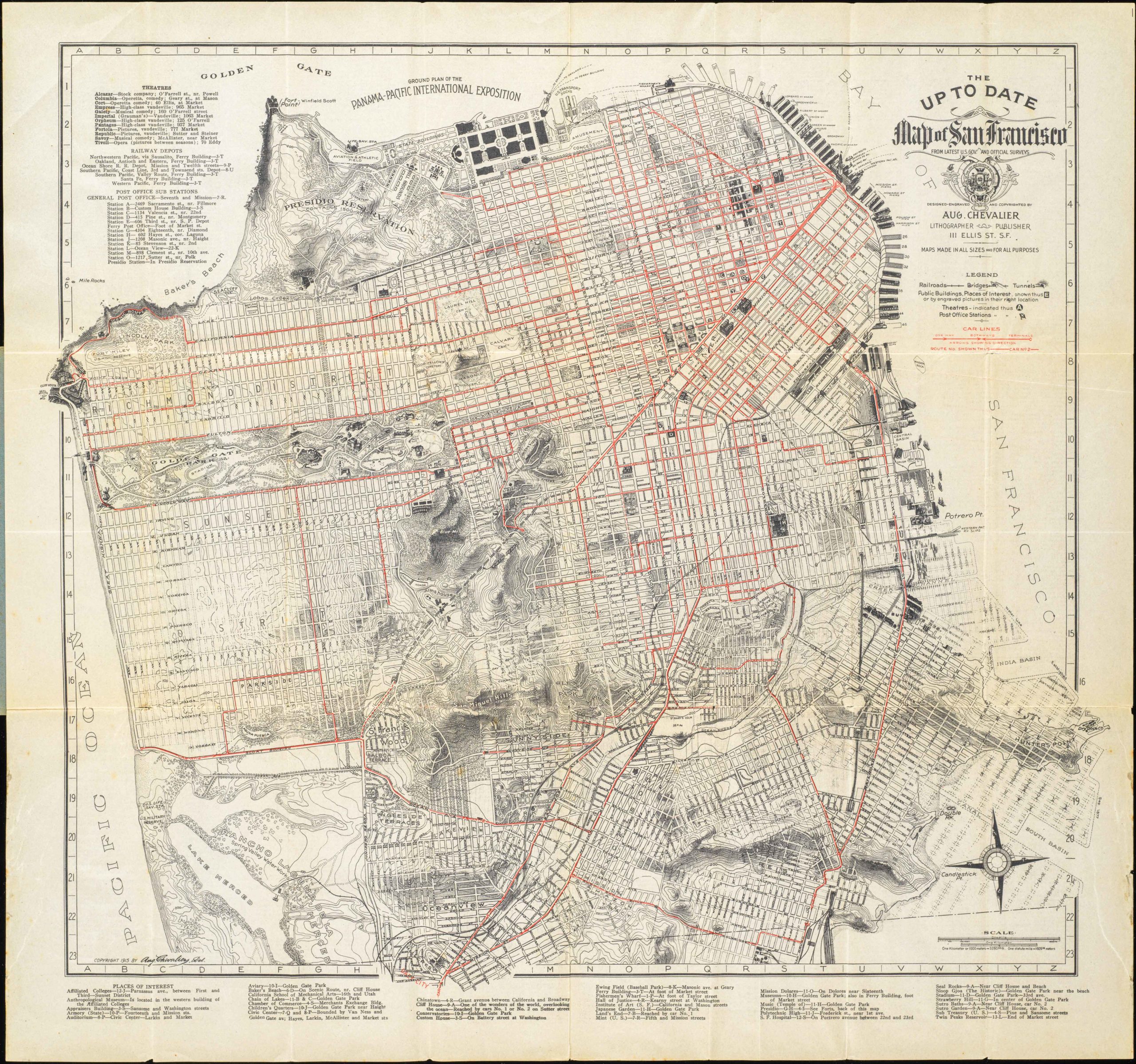
- San Francisco
The up to date map of San Francisco: from latest U. S. Gov. and official surveys.
- Scarce pocket map by the famous August Chevalier.
- Read moreQuick View
-
- Out of Stock
- San Francisco
The “Chevalier” Commercial, Pictorial and Tourist Map of San Francisco From Latest U.S. Gov. and Official Surveys. Designed-Engraved And Copyrighted By Aug. Chevalier, Lithographer Publisher, 507 Mission St. San Francisco.
- Splendid Chevalier map of San Francisco for the 1915 Exposition.
- Read moreQuick View
-