Mapping Dutch influence in Southeast Asia: elegant 1633 map with newest discoveries.
Indiae orientalis nova descriptio
Out of stock
Description
The earliest definite European sighting of Australia was that by Willem Janz sailing in a small ship built in the Dutch Republic called Duyfken. The Duyfken sailed from Banten in 1606 for the purpose of investigating New Guinea. The crew encountered the western shores of Cape York Peninsula, and the official cartographer of the Dutch East India Company, Hessel Gerritsz, included these coasts on his 1622 chart and named Australia Duijfienslandt (“Dove Land”) after the Duyfken.
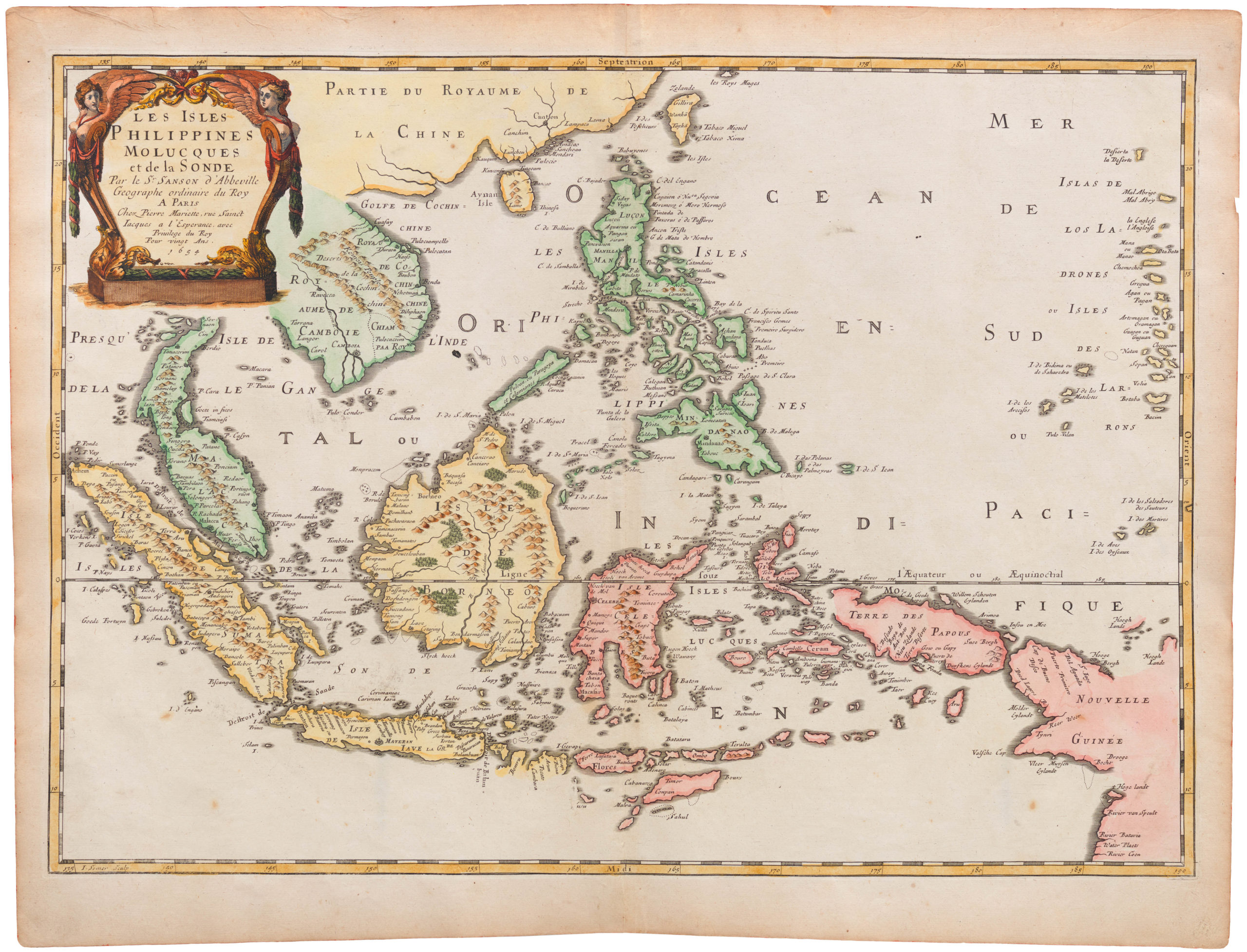
The discoveries of the Duyfken soon made their way on to published maps, including this influential map by Jan Janssonius. Janssonius establishes the legacy of the Duyfken by placing the name ‘Dufkens Eylant’ on the south coast of New Guinea. This map is the earliest available map to do so; William Blaeu did not include them on his regional map, India Quae Orientalis Dicitur et Insulae Adiacentes, until 1635. For his part, Janssonius has used the scale cartouche to cover any part of the Australian mainland hidden, thus leaving it ambiguous.
This map is thus of great importance for the mapping and cartographic presentation of Australia.
Other interesting features include a depiction of Hong Kong and excellent detail of the Philippines.
Beneath the title cartouche we see “Insulae de Ladrones” (Islands of Thieves”). These islands were the cause of much confusion to mapmakers and explorers for centuries. Both Magellan and Sir Francis Drake used this name for their first stops after crossing the Pacific Ocean. Mapmakers placed them in a variety of places, but the most likely corresponding archipelago is the Mariana Islands.
Cartographer(s):
Johannes Janssonius (1588 – 1664; born Jan Janszoon, also Jan Jansson) was a Dutch cartographer and publisher who lived and worked in Amsterdam in the 17th century. Janssonius was born in Arnhem, the son of Jan Janszoon the Elder, a publisher and bookseller. In 1612 he married Elisabeth de Hondt, the daughter of Jodocus Hondius. He produced his first maps in 1616 of France and Italy.
In the 1630s, Janssonius formed a partnership with his brother-in-law Henricus Hondius; they published atlases as Mercator/Hondius/Janssonius. Under the leadership of Janssonius, the Hondius Atlas was steadily enlarged. After Janssonius’s death, the publishing company was continued by his son-in-law, Johannes van Waesbergen. The London bookseller Moses Pitt attempted publication of the Atlas Major in English but ran out of resources after the fourth volume in 1683.
Condition Description
Light browning, some wear at centerfold, small repaired tear at left side.
References
Schilder, G. (Australia) #24; Clancy, R. 6.6. Van der Krogt 1, 8500:1B.1.

