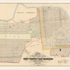
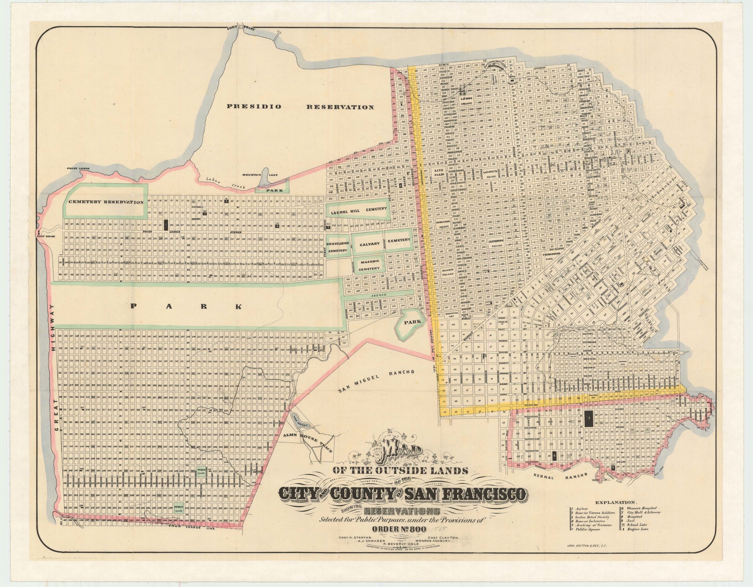
Faust’s late-19th century map of San Francisco.
Faust’s Map of the City and County of San Francisco, California
Out of stock
Description
A fine representation of San Francisco before the great earthquake and fire of 1906, in particularly attractive colors. It depicts many interesting 19th century features of the city, including Sutro Baths and Heights, the railway at today’s Land’s End, old rancho designations, waterworks, new land developments, the Lone Mountain cemeteries, and more.
Several spurious street names are shown in the Marina, including Tonguin and Lewis. These were planned to be on landfill but were never actually created; Tonguin street is instead Marina Boulevard and Lewis is Marina Green Drive.
Also, interesting is the depiction of the Golden Gate Race Course (between First Avenue, Fulton Street, Fifth Avenue and Point Lobos Road), which opened in 1874 to great fanfare with a $25,000 race — the largest purse ever offered in America. By the time this map was published, the race track was near its end (officially in 1895), and indeed on the map we see the city grid superimposed on the course. By 1900, developer Fernando Nelson had purchased much of the area and begun building homes, many of which are still there today.
Cartographer(s):
Henry W. Faust issued at least seventeen editions of his map of San Francisco both in pocket form (accompanied by a street directory, city guide, or both, or neither) and as wall maps. All editions of this map are uncommon and sought after.
Condition Description
Even toning and browning throughout the map. Archivally backed for stabilization and strength.
References
