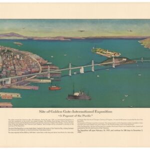
A late 1970s pictorial bird’s-eye-view of the northern California wine region.
Wine Country Map
$475
1 in stock
Description
This wonderful pictorial map depicts the northern California wine country from Napa and Sonoma as far north as Ukiah. In the upper right foreground is an illustration of a large hot air ballon, with three adventurers gazing down at the earth below. The effect is to transport the viewer up into the sky with the ballon, creating a classic bird’s-eye-view perspective.
What truly makes this map a unique snapshot of winemaking in this era are its depictions of individual wineries down to the individual building detail, including: Mondavi, Sebastiani, Korbel, Rutherford, Kenwood, Alexander Valley, and many more.
Cartographer(s):
Condition Description
Excellent. Originally a folding map.
References
OCLC 12238108.
