Map of Santa Clara County with Bay Area inset
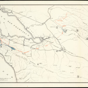
Map of Santa Clara County showing topography, geography, post offices, school houses, county roads, etc. Compiled for the San Jose Board of Trade
Out of stock
Cartographer(s):
H.X. Van de Casteele
Date:
1887
Place:
San Jose
Dimensions:
25. x 31.8 cm (10 x 12½ in)
Add to Wishlist
Add to Wishlist
Description
Rare little map of Santa Clara County, California, which appeared in “Santa Clara County, California,” Vol. 1, no. 1 (Sept. 1887). It depicts important buildings, roads, and rail lines, as well as a street grid of San Jose.
One copy is listed in OCLC/WorldCat, at the University of California, Berkeley; there is a variant, dimensions not given, at Stanford, with “Christmas Herald 1887” printed beneath the title.
Cartographer(s):
Condition Description
Old folds, very good.
References


![The Original Silicon Valley Map & Calendar [1994]](https://neatlinemaps.com/wp-content/uploads/2021/06/NL-00909_Thumbnail-300x300.jpg)
![The Original Silicon Valley Map & Calendar [1994]](https://neatlinemaps.com/wp-content/uploads/2021/06/NL-00909_Thumbnail.jpg)
