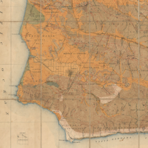
Bright pictorial map from San Diego to San Francisco, east to Salt Lake City.
A pictorial map of Southern California and adjacent areas
Out of stock
Cartographer(s):
Automobile Club of Southern California
Date:
ca. 1969
Place:
Los Angeles
Dimensions:
61 x 90 cm (24 x 35.4 in)
Add to Wishlist
Add to Wishlist
Description
Color pictorial map of southern California showing highway systems, parks, wild life habitats, recreational areas, agriculture, minerals, missions, Indian reservations, and more.
On the upper and right margins, vignettes of National parks, monuments, missionaries, and points of interest are shown.
Cartographer(s):
Condition Description
Near fine.
References
Rumsey 8137.000.