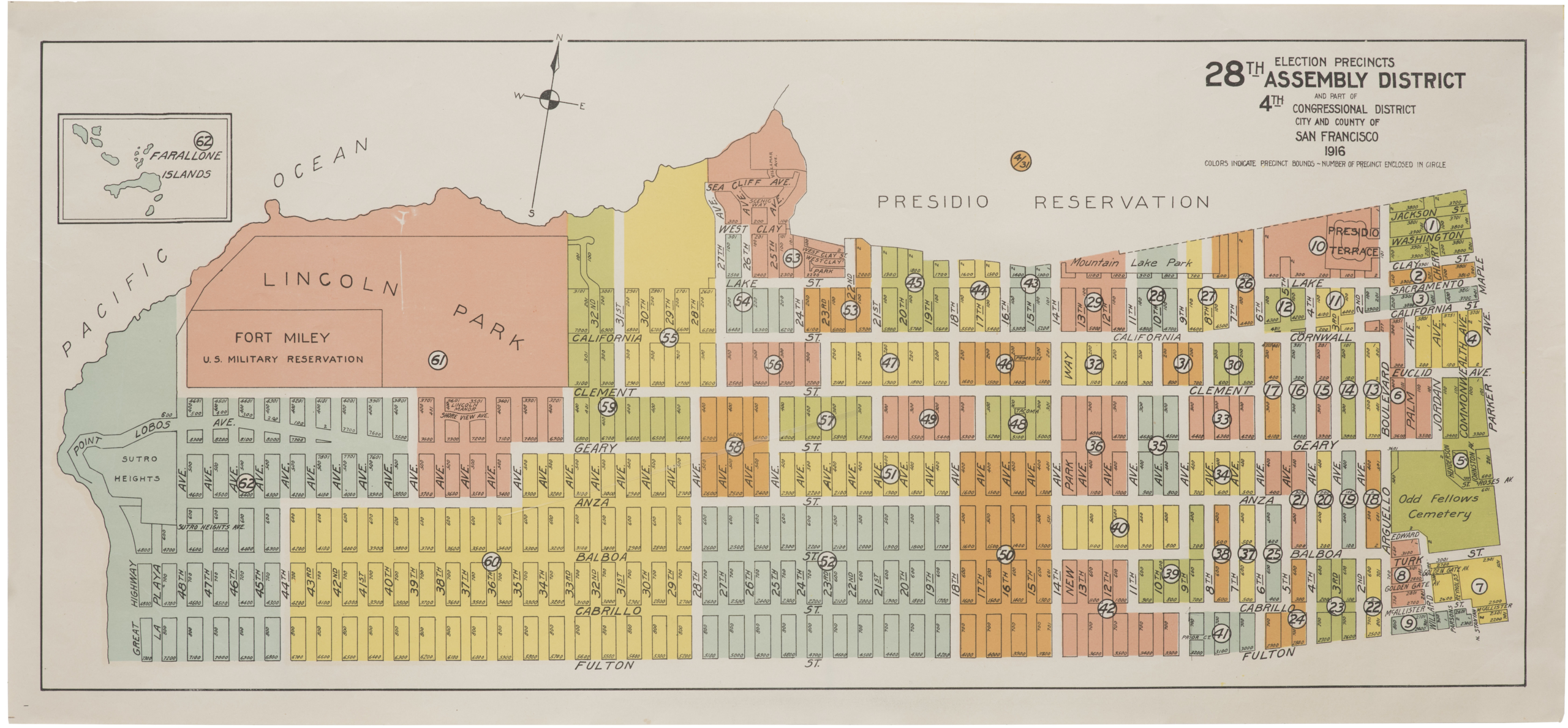
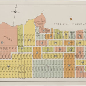
1891 map of San Francisco.
Guide Map of the City of San Francisco Compiled from the Official Surveys &c.
Out of stock
Description
This scarce, early San Francisco directory is complete with folding map by Henry Langley. It shows the city at the end of the 19th century, with much of the street-grid pattern laid out. The large Golden Gate Park in the western portion of the city is simply named “park.”
Numerous docks in San Francisco Bay are identified and labeled including Fisherman’s Wharf. The verso of the map contains an advertisement for G. G. Wickson & Co., who sold appliances and farm equipment.
Cartographer(s):
Henry G. Langley was a prominent figure in 19th-century San Francisco, best known for his role in publishing city directories. Starting in the 1850s, his “Langley’s San Francisco Directory” became an essential resource, chronicling the city’s evolution.
These directories, which are precursors to today’s phone books, listed information about residents, their professions, addresses, and also showcased ads from local businesses. They also contained comprehensive details about the city’s streets, government entities, churches, schools, and more.
With San Francisco undergoing rapid growth due to the California Gold Rush, Langley’s directories offer an invaluable snapshot of its transformation into a major American city. As the city expanded, so did the scope of Langley’s work, with directories eventually encompassing not just San Francisco’s core, but also its surrounding areas. With the advent of the telephone and subsequent telephone directories, the significance of city directories like Langley’s dwindled. Nevertheless, his contributions remain an integral part of San Francisco’s historical fabric. Many of these directories have since been digitized, offering a window into the city’s storied past for anyone with an interest.
Condition Description
The folding map has a number of fold separations closed on verso with archival tape, and several thin slivers of loss along the left vertical fold at bottom.
References

![[1906 EARTHQUAKE PANORAMA – FINANCIAL DISTRICT]](https://neatlinemaps.com/wp-content/uploads/2020/10/Screen-Shot-2023-02-06-at-6.55.56-PM-300x300.png)
![5-sheet set showing San Francisco’s post-1906 earthquake water supply [SF’s first fireboat!]](https://neatlinemaps.com/wp-content/uploads/2022/03/NL-01375-sheet-4_thumbnail-scaled-300x300.jpg)
![5-sheet set showing San Francisco's post-1906 earthquake water supply [SF's first fireboat!]](https://neatlinemaps.com/wp-content/uploads/2022/03/NL-01375-sheet-4_thumbnail-scaled.jpg)