Lovely 18th century map of Arabia with large inset of the Great Mosque of Mecca [المسجد الحرام]
Arabie
Out of stock
Description
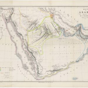
Decorative and detailed map centered on the Arabian peninsula, extending east-west from the Persian Gulf to Egypt and north-south from Syria-Palestine to Ethiopia. The geography is pre-Neibuhr, but quite extensive in its detail, especially in its depiction of early 18th century political divisions.
The distinctive feature that separates this map from other maps of Arabia is a large inset illustration of the Great Mosque of Mecca holy complex, executed from a drawing in the Bodleian Library at Oxford, and including a numbered key of important features.
Cartographer(s):
Condition Description
Some minor age-toning and offsetting.
References


![[With Extensive Contemporary Annotations] Ordnance Survey of the Peninsula of Sinai Made in 1868-9 By Captains C.W. Wilson, and H.S. Palmer, R.E. Under The Direction of Major-General Sir Henry James, R.E. F.R.S. &c. Director of the Ordnance Survey](https://neatlinemaps.com/wp-content/uploads/2020/05/NL-00842_Thumbnail-300x300.jpg)
![[With Extensive Contemporary Annotations] Ordnance Survey of the Peninsula of Sinai Made in 1868-9 By Captains C.W. Wilson, and H.S. Palmer, R.E. Under The Direction of Major-General Sir Henry James, R.E. F.R.S. &c. Director of the Ordnance Survey](https://neatlinemaps.com/wp-content/uploads/2020/05/NL-00842-scaled-300x300.jpg)
