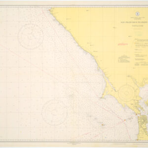
1913 topographic map of San Mateo County – early city grids
San Mateo Quadrangle (Topography)
Out of stock
Description
Extensively detailed topographic map of San Mateo County, covering an area from Half Moon Bay and San Carlos in the south to part of San Francisco in the north. The map contains excellent topographic detail, including San Andreas and Crystal Springs Lakes, bay tidal flats, reeks and rivers, coastal coves, and mountain ridges.
The map also features an array of important historical information, from railroads and landmarks (e.g. schools and alms houses), to early city grids for San Mateo, South San Francisco, and the Bernal Heights neighborhood of San Francisco.
This map is part of the USGS’s 15 Minute Quadrangle series, produced from the 1890s to the 1950s in order to provide a detailed topographic map coverage of the entire United States at the same scale.
Cartographer(s):
Condition Description
Some discoloration along the folds.
References