Whales, Bears, and Mountains: a superb mid-19th century French world map with compelling illustrations.
Planisphère élémentaire et illustré indiquant la description géographique des parties connues de la terre…
Out of stock
Description
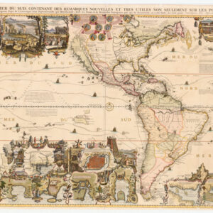
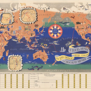
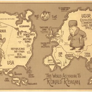
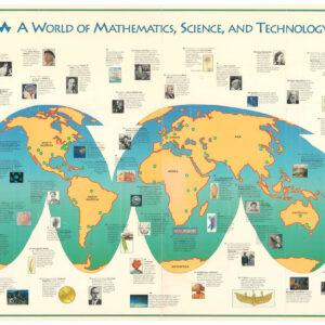
It is easy to lose oneself in the rich details of this well-executed French world map, one of the finest examples of the genre that we have come across. The basic geography of the map is a good reflection the known world in the mid-19th century. In North America, we see a large Russian Alaska (the Alaska Purchase did not take place until 1867), and the United States is shown in its post-Mexican-American War configuration.
Antartica is depicted with the latest discoveries, many of which have taken place in the decades preceding its publication. The map is, in fact, a presentation of discovery and exploration. Placed throughout the map is information about the history of exploration and tracks of maritime voyages, pertaining to a wide variety of eras, from the expedition of Magellan in 1521, to steam ships carrying gold seekers from Panama to San Francisco, and more.
No less than five illustrated scenes, all of fine quality, show fishing vessels at work. These include the great cod, mackerel, and herring resources so important for consumption in Europe. The two other scenes, including the largest one of the group, show commercial whale hunts, one in the Arctic Ocean, the other in the South Atlantic, this being the so-called “Golden Age” of whaling. Two other delightful scenes in the region of Siberia show a polar bear hunt and a cart pulled by reindeer.
As if all that weren’t enough, the map also features five excellent insets along the bottom that showcase both the rich French tradition of science and enlightenment, as well as a growing curiosity about the people and races of the world. Two illustrated strips in each corner highlight the great variety of traditional dress of people across the world. Two other insets present a comparison of mountain heights and river lengths. A final inset, at bottom center, concerns the projection of the map, demonstrating how a round object (i.e. the globe) can be represented on a flat surface.
A variety of engravers, geographers, and publishers worked together on this map and it shows: it is a remarkable achievement.
Cartographer(s):
Alexandre Aimé Vuillemin (1812-80) was a Parisian engraver, publisher, and mapmaker. He studied under the prominent French geographer Auguste Henri Dufour (1798 – 1865), and his most important include the detailed and decorative large-format maps such as the current Nouveau Plan Illustré de la Ville de Paris avec le systeme complet de ses fortifications et forts détachés or his maps for the Atlas Illustre de Geographie Commerciale et Industrielle.
FatoutCondition Description
Excellent. Original linen. Minor blemishes.
References
BnF ark:/12148/btv1b53093579v; OCLC Number (1852 edition): 220385061; Harvard 990115269900203941.


