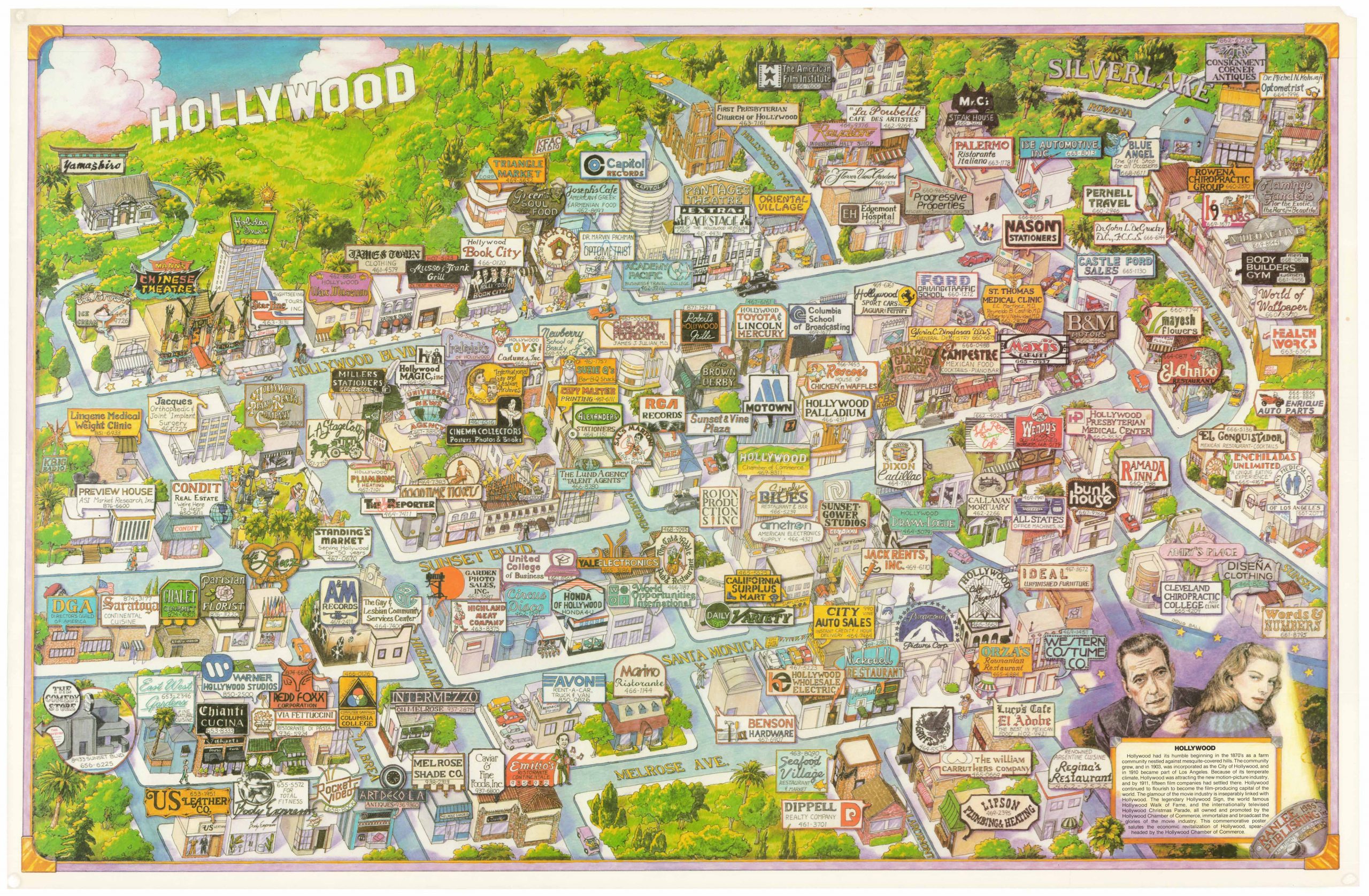
A fun pictorial map for the 1984 Los Angeles Summer Olympics.
LA ’84 Summer Games
Out of stock
Description
This entertaining pictorial map was published in anticipation of the 1984 Games of the XXIII Olympia, more commonly known as Los Angeles 1984. It is centered on the city of Los Angeles and stretches from the San Fernando Valley to Orange County and offers a cornucopia of engaging and witty illustrations.
Massive cultural endeavors, for example the exposition of world’s fairs or the completion of a major railroad line, have for the last few centuries spurred the production of a wide array of related printed materials: maps, views, photographic albums, brochures, etc. Since the first modern Olympics were held in Athens in 1896, olympics games have added to the output.
The emphasis of the illustrations on this map is of course on sports, whether local professional venues, such as Dodger Stadium, the Forum, and the LA Coliseum — respectively home of the Dodgers, Los Angeles Lakers, and LA Raiders — or on smaller venues hosting Olympic events. The participation of LA area universities as hosting sites is depicted by a gymnast and tennis racket at UCLA, swimming at U.S.C., weights at L.M.U., a water polo player in the Pacific Ocean adjacent Pepperdine University, a giant judo master set astride C.S.U.C., and more. The Olympic Torch itself is drawn at the LA Coliseum.
Other notable Southern California features include Venice Beach, the Santa Anita raceway, Catalina Island, San Pedro harbor (in which The Love Boat is docked), the Long Beach Convention Center, and, of course, Disneyland. Proximity to Las Vegas and Palm Springs is highlighted.
Naturally, the freeways are clogged with cars.
Cartographer(s):
Condition Description
Very good.
References
![Flag Map of California [Signed in pencil by W.J. Goodacre]](https://neatlinemaps.com/wp-content/uploads/2022/01/NL-01134_thumbnail-scaled-300x300.jpg)
![Flag Map of California [Signed in pencil by W.J. Goodacre]](https://neatlinemaps.com/wp-content/uploads/2022/01/NL-01134_thumbnail-scaled.jpg)


