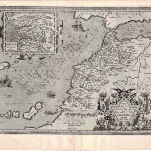
1535 Ptolemaic Africa with Prester John
[Title on Verso] Tabula IIII Aphricae
Out of stock
Description
Fine Ptolemaic from the blocks of Laurent Fries, the famous physician, astrologer and geographer. This map covers the regions of Africa that were known to the ancients. The twin lake sources of the Nile are located near the Mons Lune (Mountains of the Moon). The Niger River is prominently featured in Libya with its source in several interior lakes and mountains ranges. The legendary Christian king, Prester John, is pictured in Ethiopia. Published in Lyon by Melchior and Gaspar Treschsel. This edition was printed from the same blocks as those in the 1525 edition with wear showing in the lower side borders. Title on verso with Latin text and woodcut borders and ornaments that have been attributed to Hans Holbein.
This map is from the atlas often referred to as ‘editio prima Serveti’ after its editor, Michael Villanovus, better known as Servetus, who was burned alive in 1553 for heresy. The map of the Holy Land from this atlas had on its verso a comment suggesting that the area was not as beautiful and fertile as generally believed, but was actually barren, according to travelers. This statement was one of the pieces of evidence used against Servetus. Calvin had many copies of the 1535 atlas confiscated and burned with Servetus.
Cartographer(s):
Laurent/Lorenz Fries (ca. 1485-1532) was born in Alsace circa 1490 and studied medicine and mathematics at a number of European universities. He was trained as a physician but was also keenly interested in cartography and medical publications. From 1518-19 Fries is mainly based in Strasbourg, where he was commissioned to compile the first edition of Waldseemüller’s atlas after his death in 1520.
Condition Description
Minor show-through of text on verso and a small, unobtrusive worm hole in the left blank margin that has been infilled with archival materials.
References
Mickwitz & Miekkavaara #209-30; Norwich #287.


![[South Africa] Photograph panorama of Cape Town, c. 1870](https://neatlinemaps.com/wp-content/uploads/2022/09/Screen-Shot-2022-12-18-at-11.22.15-AM-300x300.png)
