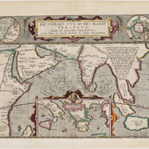
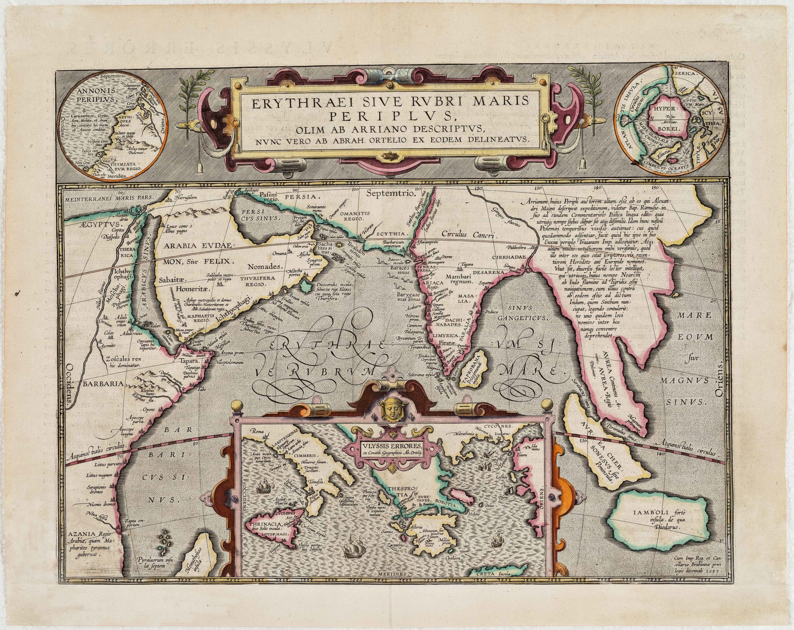
1596 Navigational chart of the Indian Ocean in spectacular full color.
Deliniantur in hac Tabula, Orae Maritimae Abexiae, Freti Mecani; al Maris Rubri; Arabiae, Ormi, Persiae, Supra Sindam usq, Fluminis Indi, Cambriae India & Malabaris, Insulae, Ceylon
Out of stock
Description
This stunning map of southern Asia, one of the first detailed navigational charts of the Indian Ocean and Arabian Sea, takes the viewer from the Arabian peninsula to the mouth of the Ganges, with all of India, Ceylon, the Horn of Africa, and north to the Caspian Sea, with Cyprus and the Holy Land in the west. The map is adorned with a double strapwork cartouche, large compass rose, sea monsters, sailing vessels, and a number of animals, including a pair of unicorns in the interior of India.
Linschoten was the son of an innkeeper, and grew up hearing the stories of travelers and sailors. Being born to a well-off family permitted him an advanced education; living in the port city of Enkhuizen gave him experience at sea. He traveled to Spain to work with his brother in Seville and eventually ended up in Lisbon. For a young man looking for adventure, Van Linschoten could not have chosen a better place.
The Portuguese had spent the 16th century constructing a dominant hold on the sea route around Africa to the east. This gave them a near monopoly on Indian Ocean trade, with Spain as their only serious rival. In the early 1500s, they established the Portuguese State of India (Estado da India Portuguesa), which continued in some form all the way until 1961. The capital in Van Linschoten’s day was Goa, and to this bustling cosmopolitan city he headed.
While in Goa, Van Linschoten kept extensive notes on the peoples, customs, and geography of South Asia. He sorted through reports, gossip, and surely the occasional sketch map by the travelers who passed through the port. Years later, back home in Northern Europe, perhaps it was with some nostalgia that he compiled these notes into his great work, known as the Itinerario (1596). Part of this multivolume publication presents Portuguese and Spanish sources on sailing the Indian Ocean. At the time of its appearance at the end of the 16th century, the great Dutch publishing houses were masters at marketing, and Amsterdam-based printer Cornelis Claesz knew that the addition of maps would be great for sales. Among these was the current example, engraved by the eminent Henricus Van Langren.
This map offers a more accurate depiction of the Indian subcontinent than previous maps by Ortelius and Mercator. Given Van Linschoten’s personal experience in India, this is understandable. Less clear is the source of the much improved coast of the Arabian peninsula. Whatever the sources, this map was a significant step in the long process by which the closely guarded secrets of Portuguese cartographers became known to other maritime powers, thus ushering the greatest era of Dutch influence on the expanding world stage.
The 1596 van Linschoten map of the Indian Ocean is a historical record of the intersection of late 16th century art and science, connecting to larger themes of history and exploration.
Cartographer(s):
Jan Huygen van Linschoten (1563 – 8 February 1611) was a Dutch merchant, trader, and historian who traveled extensively through the East Indies under Portuguese influence and served served six years as bookkeeper for the Archbishop of Goa (1583-89). He is credited with publishing important classified information about Asian trade and navigation that was kept as closely guarded secrets of the trade by the Portuguese.
In 1596, Linschoten published his Itinerario (later published in English as Discours of Voyages into Ye East & West Indies), which graphically displayed for the first time in Europe detailed maps of voyages to the East Indies, in particular the Indian Subcontinent.
Condition Description
Soft folds and remnants of matting tape on the verso. Trimmed to the neatline as usual with this map.
References
Tibbetts, G. R. Arabia in Early Maps, p. 23, no. 46.
![[Sri Lanka] Tabula Duodecima Dasia](https://neatlinemaps.com/wp-content/uploads/2023/03/NL-01721_thumbnail-300x300.jpg)
