Gorgeous and rare large-format map of the Holy Land with a plan of Jerusalem.
Karte von Palätina oder dem heiligen Lande nach ältern und den neuesten besten Quellen entworfen zum Studium der heiligen Schrift und zum Gebrauche für Schulen eingerichtet von Dr. Carl Beiling Director, Mitglied m . gel. Gesellschaften
Out of stock
Description
This is a fascinating, highly decorative German map of the Holy Land with a coat-of-arms and text along the bottom margin dedicating the map to His Highness the Most Serene Prince and Lord Maximilian of Bavaria.
Not mentioned in Laor or Nebenzahl and not listed in the National Library of Israel, it appears to be quite rare. It was published at a time that saw an increase in European scientific activity in the Holy Land, including the field of cartography. German scholars were especially active in the region beginning in the 1830s. Carl Beiling was director of a scientific society in Munich.
The map covers the eastern Mediterranean, stretching along the coast from the northern Sinai, Gaza, Yaffa, Haifa, Tyre, Beirut, to Byblos. Moving inland, the map depicts the usual extent of the Holy Land, including the Dead Sea and the Sea of Galilee, on to the east bank of the Jordan River. The principal mountain ranges and towns of the region are shown, including Jerusalem, Damascus, Jericho, and more.
What most distinguishes this map are the myriad colorful illustrated vignettes of famous scenes from the Bible. Spread throughout the map, the scenes are wonderfully detailed and executed. The iconography would have been easily understood by the intended audience in Europe, and one can imagine the effect this large and beautiful map must have had on contemporary viewers.
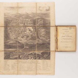
Under the title there is an inset map of the city of Jerusalem, itself nearly 25 x 25 cm (10 x 10 in). It shows the Old City and surrounding neighborhoods, with a detailed 23 point legend.
A detailed key of symbols in the lower right identifies tribes, towns, roads, rivers and other important features, in connection with the overall Biblical theme.
Cartographer(s):
Condition Description
Two sheets joined on new linen. Lower half is slightly darker than upper half. Some brown spots off the coast around Beirut. Overall map image bright and clean.
References
OCLC Number: 164842342 (no record of institutional holdings in the United States).
Laor, Eran, and Shoshana Klein. Maps of the Holy Land: Cartobibliography of Printed Maps, 1475-1900. New York: A.R. Liss, 1986.
Nebenzahl, Kenneth. Maps of the Holy Land: Images of Terra Sancta through Two Millennia. Tel Aviv: Steimatzky, 1986.


![[Old Damascus]](https://neatlinemaps.com/wp-content/uploads/2019/09/NL-00657-scaled-300x300.jpg)
![[Old Damascus]](https://neatlinemaps.com/wp-content/uploads/2019/09/NL-00657-scaled.jpg)
![[Map of Medaba]](https://neatlinemaps.com/wp-content/uploads/2025/03/NL-02342_thumbnail-300x300.jpg)