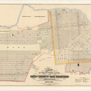
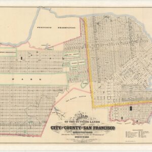
One of the great thematic maps of a 19th-century American city.
Official Map of Chinatown in San Francisco.
Out of stock
Description
This is the famous (and infamous) San Francisco Chinatown “vice” map, which is bound in its original report of the city’s Board of Supervisors. It was published in the year 1885, just three years after the passage of the Chinese Exclusion Act under President Chester A. Arthur, and generally in a time of anti-Chinese sentiment in the United States.
The map is oriented towards the east, with north at the right. Most of the street names and alignments remain today as shown here. DuPont St. was renamed Grant Ave. after the 1906 earthquake and fire, while the diagonal portion of Montgomery St. here was renamed Columbus Ave. in 1909. Portsmouth Square at bottom, one of the oldest settled areas in the city, was and remains the “heart” of Chinatown.
The inscription of race onto space is the distinctive characteristic of this map, with the white elite of the city deeply concerned about the supposed “risks” posed by the Chinese community, namely crime, prostitution, and disease (the competition of Chinese labor to white laborers was opposed by some elites but encouraged by others who benefitted from the low wages).
The employment of white prostitutes in Chinatown was especially galling, symptomatic of wider concerns about miscegenation (it is noteworthy that the number of locations practicing “white prostitution” outnumber those practicing “Chinese prostitution”). Another curious feature of the map is the careful notation of “joss houses,” meaning Chinese temples, in red while Chinese Christian churches are cream-colored as with other “General Chinese Occupancy” buildings.
This map is quite rare, and very similar in content to its larger and virtually unobtainable counterpart, an example of which is found in the David Rumsey Map Collection at Stanford University. The maps hold an important place in the history of 19th century cartography, representing what historian Susan Schulten calls “one of the earliest examples I have seen of a map designed to identify the distribution of ethnicity and vice.” Her entry on the larger map can be found here, and another blog post on the map was done for Wired magazine.
In other words, the map has garnered a lot of attention from both collectors and scholars, especially in recent years, as both groups have increasingly appreciated and studied thematic maps; a trend that has been given a boost by the establishment of the PJ Mode Collection of Persuasive Cartography at Cornell University.
We encourage anyone who is interested in this map to explore the links above, as these authors have already covered in depth the importance of this map. It is our pleasure to offer it and answer any further questions.
Cartographer(s):
Condition Description
Very good.
References


![[1906 EARTHQUAKE PANORAMA – FINANCIAL DISTRICT]](https://neatlinemaps.com/wp-content/uploads/2020/10/Screen-Shot-2023-02-06-at-6.55.56-PM-300x300.png)

