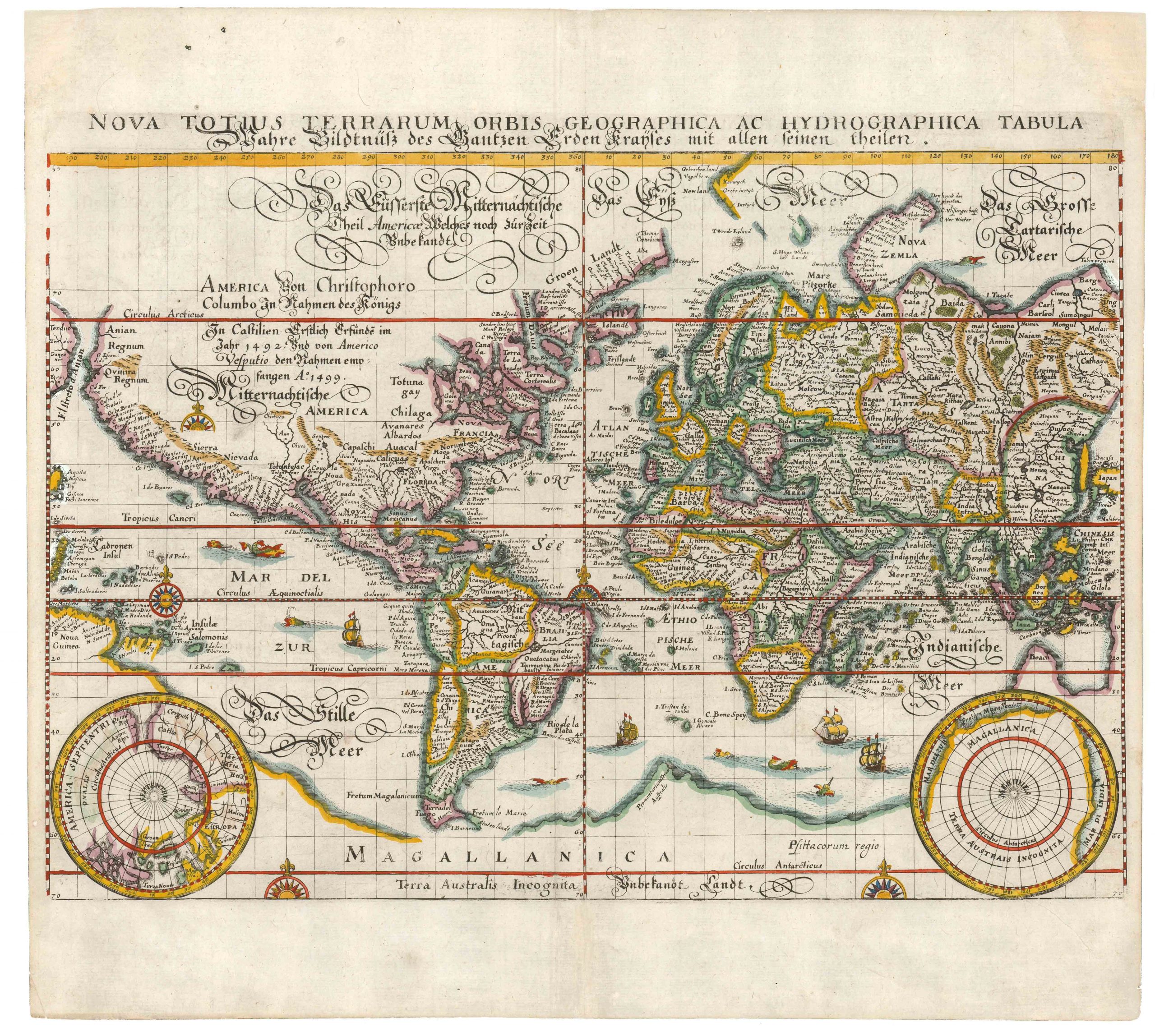
Von Sydow’s geophysical wall map of the world and its currents.
Erdkarte von E. Von Sydow.
$2,500
1 in stock
Description
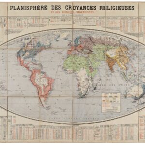
This evocative Prussian wall map of the world consists of five individual charts, including a geophysical double-hemisphere world map with a distinctive topographic color scheme. Von Sydow designed the scheme while teaching at the Cadet School in Erfurt in the 1830s, and it was later adopted universally as the world standard.
Von Sydow’s innovative cartographic methods earned acclaim from publishers and educators, leading to the publication of regional and world maps for educational purposes. He authored significant works on map projection and European cartography. Von Sydow’s expertise in military geography earned him a position in the Great General Staff in 1860, where he provided crucial support during military conflicts. His experimentation with photographic map reproduction techniques further revolutionized cartographic practices.
In the lower register, a central Mercator projection shows the world’s oceanic currents as they were understood in the mid-19th century. Flanking this image are two polar projections depicting the North and South Poles. These polar maps reveal how little was known about these frozen regions in the middle of the 19th century. Within 60 years, most of it would have been traversed and mapped.
Two profile views of stylized mountains crown the entire composition. These are meant to represent the climatic conditions at varying altitudes. This includes subtropical and moderate climate zones and the so-called snow line, which indicates the level needed for permanent snow cover. The same climatic zones have been shown on the main map (i.e., the double hemisphere), both as lines on the map and as notes in the surrounding graticule.
Census
Emil von Sydow, the Prussian officer and compiler of this map, produced a range of large maps intended for display. In many of these, he varies the subset of maps, providing thematic variations on his world chart. This particular example focuses on topography, ocean currents, Polar projections, and the delineation of climatic zones based on altitude. It was part of a folder of seven lithographed maps entitled Wand-Atlas von E. von Sydow, published in 1851 in Gotha, Germany, by Justus Perthes.
While Von Sydow’s maps appear on the market at regular intervals, we have not identified any examples with the same composition as Neatline’s example. In general, a census of Sydow’s maps can be challenging, as many of the maps retain the same title—Erdkarte von E. Von Sydow—despite subtle variations.
The OCLC identifies two examples of the 1851 edition of this map at the LIBRIS library in Stockholm and the Technical University in Munich, Germany (no. 632748323).
Cartographer(s):
The publishing house of Justus Perthes was founded in Gotha in 1785 by Justus Perthes (1749–1816), and over the following century became the most scientifically authoritative geographical publisher in the world. Its key productions were Adolf Stieler’s Hand-Atlas (first issued 1817–1823), the standard German general atlas for over a century; Heinrich Berghaus’s Physikalischer Atlas (1838–1848), the founding document of thematic cartography; and above all Petermanns Geographische Mitteilungen, founded in 1855 by August Heinrich Petermann, the geographical journal whose maps set the benchmark for precision and innovation that other publishers measured themselves against.
Theodor Emil von SydowCondition Description
Very good. Minor soiling.
References