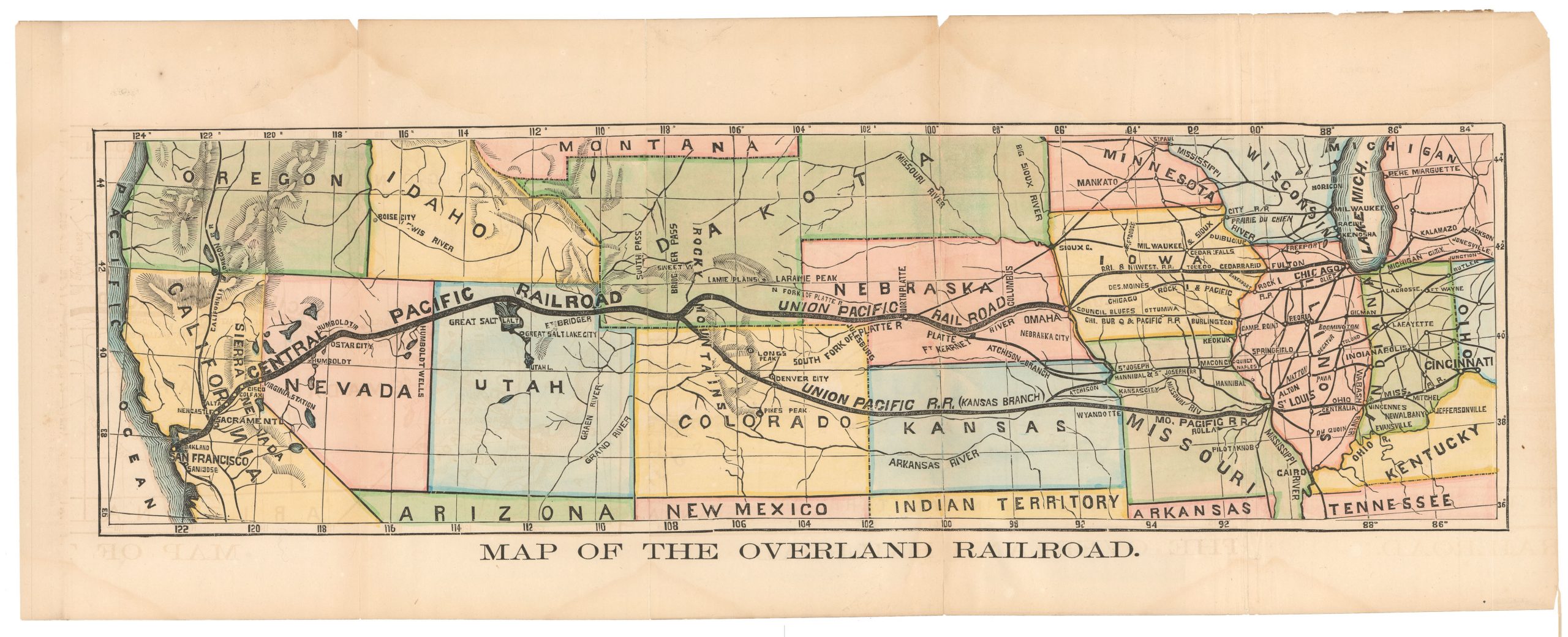
1915 Louisville & Nashville Railroad Map of Florida.
Florida: America’s Famous Winter Resort State, Reached by the Magnificent Through Trains of the Louisville & Nashville Railroad and Connections.
$375
1 in stock
Description
Florida, Before the Highways Got There
This is a 1915 Louisville & Nashville Railroad Map of Florida, printed by Poole Brothers of Chicago as a promotional piece for the railroad’s celebrated through-train service to America’s premier winter resort destination. Issued at a defining moment in Florida’s emergence as a tourist mecca — just three years after Flagler’s Overseas Railway completed its dramatic run to Key West — the map captures the state on the cusp of the great land boom of the 1920s. Vivid, beautifully printed, and rich in period charm, it is a nice document of the Golden Age of American railroad travel.
The Map in Detail
Coverage embraces the full length of Florida, from Jacksonville and Fernandina in the north to Key West and Cuba at the southern tip, with the railroad network of the Louisville & Nashville and its connections overlaid prominently in bold lines. Cities, towns, lakes, and rivers are densely noted throughout, with the state’s distinctive lake-studded interior rendered in appealing color. The map’s title — Florida: America’s Famous Winter Resort State, Reached by the Magnificent Through Trains of the Louisville & Nashville Railroad — announces its purpose without subtlety. The folding brochure format includes evocative cover art depicting fashionable tourists at leisure, and interior text promoting the L&N’s named trains, including the Southland, the Dixie Flyer, and the Dixie Limited.
Historical Context
By 1915, Florida had become the preferred winter destination of America’s prosperous classes, and the railroads were its gatekeepers. The Louisville & Nashville, operating from the Midwest and Upper South through to Jacksonville and beyond, competed fiercely for this lucrative winter traffic. The map’s extension to Key West — and the dashed line continuing to Havana — reflects the brief moment when Flagler’s Overseas Railway made Cuba feel like a natural extension of Florida, a connection that would be severed by the 1935 Labor Day hurricane. Poole Brothers of Chicago were among the foremost printers of railroad promotional cartography in this era, producing high-quality color maps for carriers across the country.
Publication History and Census
This map was issued by the Louisville & Nashville Railroad in 1915, with printing by Poole Brothers, Chicago, whose credit appears at the bottom of the map sheet. Railroad promotional maps of this type are inherently ephemeral — produced in large quantities for distribution to travelers but rarely preserved — making surviving examples in good condition scarce.
Cartographer(s):
Poole Brothers was a prominent map publishing and printing company based in Chicago, Illinois, known for its extensive production of railroad maps, timetables, and promotional material. Founded by George Amos Poole in the late 19th century, the company became one of the leading map publishers in the United States during a time when rail travel was the primary mode of long-distance transportation.
Condition Description
Minor wear, appropriate to its age.
References