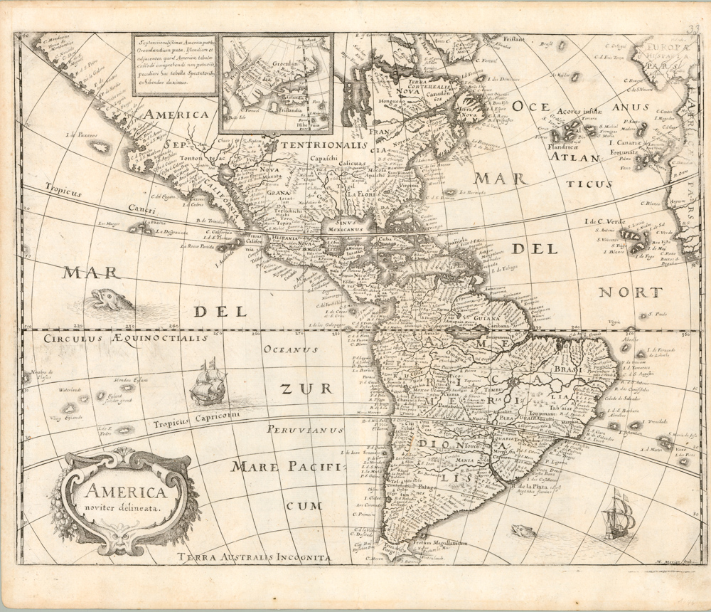
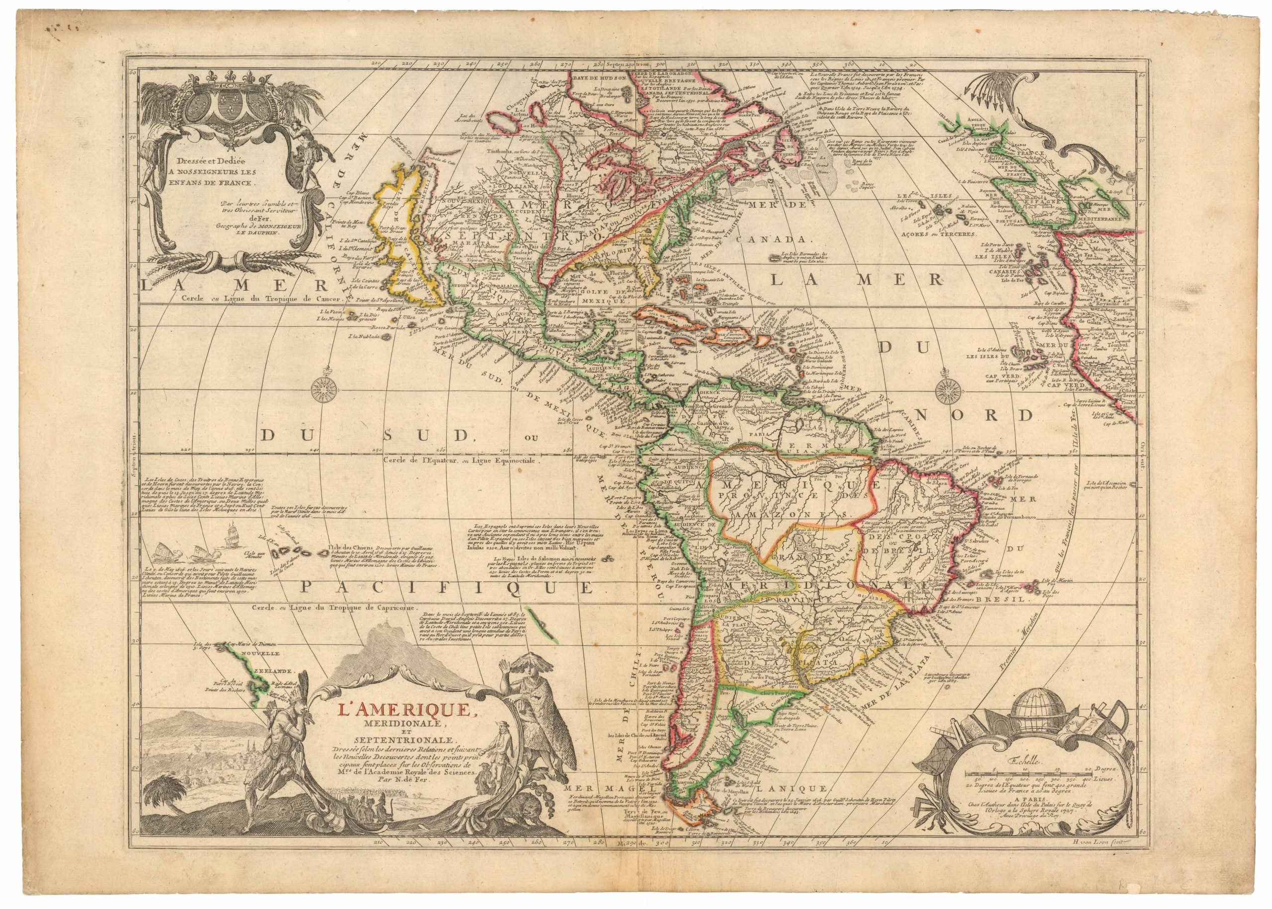
1703 Scherer map of the Pacific with California and Japan in mirror and California as an island
Tantum Distamus Ap Invicem
Out of stock
Description
An intriguing and very unusual depiction of the Pacific North West of America and the North East of Asia first published in Heinrich Scherer’s Atlas Novus. Whereas North America is usually depicted to the east of Asia, Scherer here has reversed the view.
Of particular interest with this rare map is the depiction of California. California was for the the better part of a century depicted as an island. However, this theory would be disproved following Father Eusebio Francisco Kino’s mission to Baja California in 1701. Although his findings would only be published 1705, cartographers such as Scherer and Nicolas De Fer began to contemplate Baja California as a peninsula. That being said, this map continues to perpetuate the California as an island myth.
Scherer’s rare maps are renown for their beauty, distinctive iconography, and thematic cartography. The use of ships and sea monsters with a subtle but striking cartouche makes this rare map an interesting addition to any collection.
Cartographer(s):
Heinrich Scherer (1628-1704) was Professor of Hebrew, Mathematics, and Ethics at the University of Dillingen until about 1680. Thereafter he obtained important positions as Official Tutor to the Royal Princes of Mantua and Bavaria. It was during his time in Munich as Tutor to the Princely House of Bavaria that his lifetime’s work as a cartographer received acclaim and recognition.
Scherer’s Atlas Novus, first published in Munich between 1702 and 1710 and reissued in a second edition between 1730 and 1737, forms a singularly unusual, almost revolutionary work in terms of the development of European mapmaking at the beginning of the 18th century.
Condition Description
One chip along bottom edge, else very good.
References
McLaughlin No. 159.
