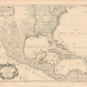
Rare German pocket map with inset showing California gold fields and unusual boundaries.
Neueste Post-u. Eisenbahn Karte der Vereinigten Staaten von Nord-America.
Out of stock
Description
This rare German map of the United States and Canada stretches from the East Coast west to Texas. This is the sought-after updated second edition, which was published in 1856 (first edition published in 1853), which added a highlighted California gold region in the fascinating inset map titled Oregon, Utah und Californien. Overall, the map focuses on features important for a traveler heading west, with detailed depictions of rivers, roads and trails (including the Oregon Trail), baptist stations, missions, forts, council houses, and trading posts.
The map shows several territories before they became states. For example, Wisconsin (admitted May 29, 1848) is shown as a state, but Minnesota (admitted after this map in May 11, 1858) is still a territory, and includes part of the Dakotas. Kansas (admitted January 29, 1861) and Oklahoma (admitted November 16, 1907) are still Indian territories, labeled in the German as Westliches Territorium, Western Territory, within which we see Cherokees, Choctaws, and Chickasaws.
The Territory of Nebraska, an organized incorporated territory that existed from 1854 until 1867, is shown at its fullest extent. Interestingly, while the capital of Nebraska Territory was at Omaha, the city is not depicted on the map. Omaha was founded in 1854 by speculators from neighboring Council Bluffs, Iowa, but this information was unknown to the mapmaker or not deemed important enough to add to the second edition.
What makes this map especially unusual is the large inset of the West. As mentioned above, this edition features a gold-colored gold region, extending from Mt. Shasta to San Jose. The territorial boundaries are fascinating. California and Utah have been ambiguously merged, along with New Mexico, all without any division. Sante Fe features twice, both as the city, both also mysteriously as a region, written in large letters running vertically along the Rio del Norte.
To the north, the depiction of Oregon is equally bizarre. The represented northern boundary is post-1846 Oregon Treaty, with Vancouver Island retained by the British and a hard border along the 49th parallel. Washington Territory, formed in 1853, is completely missing. Oregon extends far eastward, overlapping with Nebraska Territory without any delineated division on the map.
A second inset, titled Freistaaten von Mit. America, shows Central America with Cuba and part of the West Indies.
Cartographer(s):
Condition Description
Solid, heavy paper. Original case. Scattered foxing and soiling throughout. Overall a very good copy of a very rare map.
References
OCLC Number: 61675592. Not in Phillips, Wheat, etc.
![[Vietnamese Maps of North America: Mexico, Canada, USA]](https://neatlinemaps.com/wp-content/uploads/2022/04/NL-01262-USA_thumbnail-scaled-300x300.jpg)


