Description
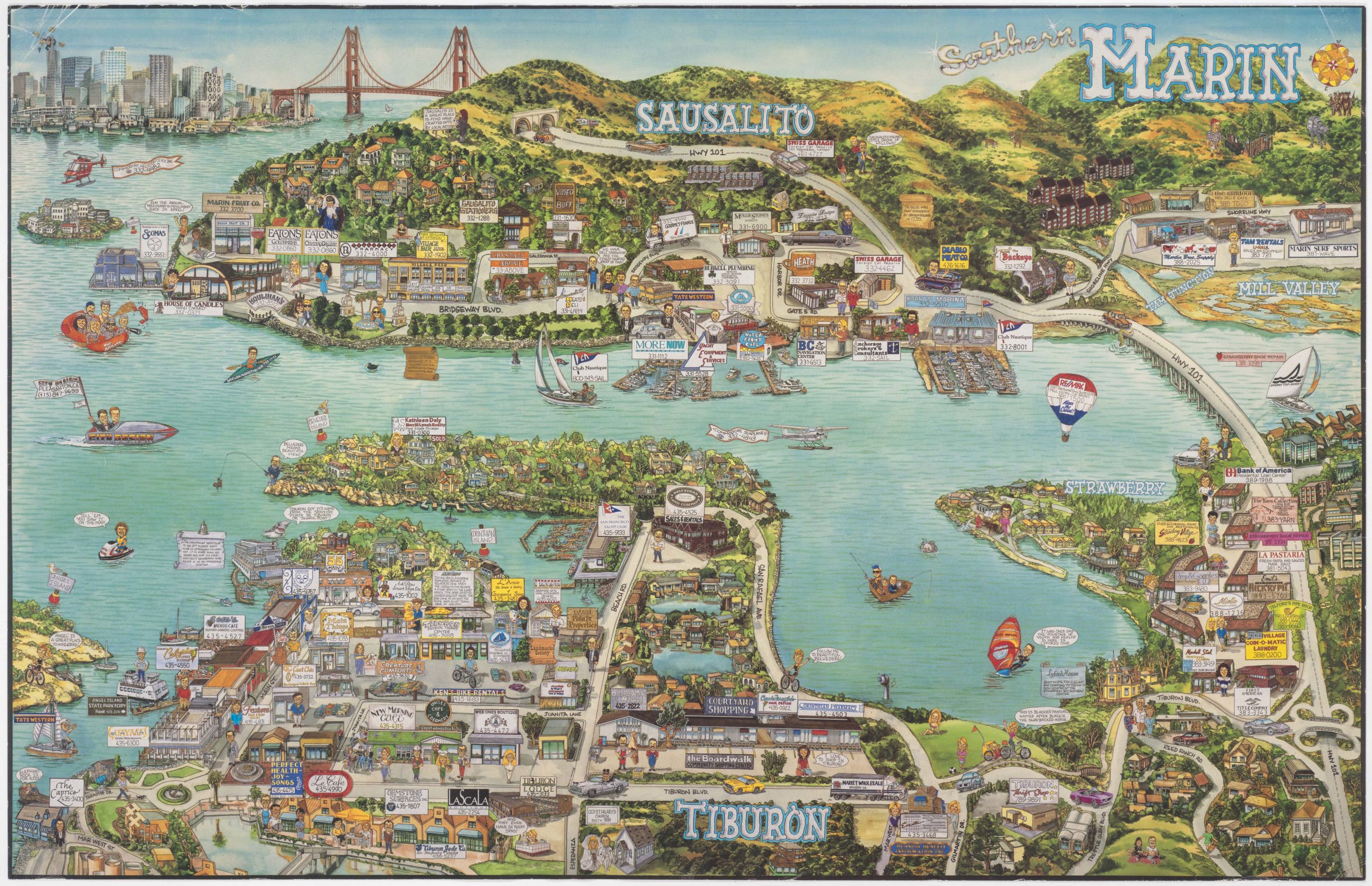
This vintage pictorial cartoon map from 1983 depicts the Waikiki area of Honolulu, Hawaii. It was designed and drawn by the cartographic cartoonist Chuck Davis, who also compiled a map of Kauai. The local hustle and bustle is a core trait in most of Davis’ compositions, and our map is held in the whimsical cartoon-like style that has become synonymous with Davis’ work.
The map was issued under the Pali Arts (note the credits on the hot air balloon floating over the bay) and was designed with the intention of promoting tourism and attracting business to the island. It is consequently not surprising that both Waikiki’s main attractions, as well as a cornucopia of its local businesses, have been highlighted in this wonderful composition. Each of the commercial enterprises is named, and most include a local phone number. Above the entire scene rises the lush green of Diamond Head – an extinct volcano and Hawaii’s most iconic landmark.
Honolulu in the 1980s
Transporting us back to the mid-1980s, Chuck Davis’ Waikiki emerges as a vibrant hub of cultural fusion and carefree allure. Neon lights adorn the bustling streets, casting their luminous glow on swaying palms and the ceaseless ebb and flow of the Pacific. Both then and now, tourists from across the globe flock to this tropical oasis, drawn by sun-soaked beaches, stunning nature, and welcoming inhabitants.
While there are far too many individual details to describe them all, a few humorous elements stood out to us. On the beach, Chuck Machado’s luau-hut camouflages the beachfront condominiums. Among the more touristic attractions, we find surfing classes by Hawaiian Windriders, helicopter rides with Cloud 9 Tours, Aniani’s glass-bottom boat, and a plane from Mid Pacific Air – the airline that got you to Hawaii in the 1980s. In addition to the more commercial elements, the map is riddled with little tidbits of information about Hawaiian culture and historical events. Examples include the first arrival of Polynesians in about 700 CE or the beautiful hula-dancer next to the title.
The Waikiki depicted in Davis’ pictorial map is a captivating convergence of tradition and modernity. Amidst the thronging resorts and bustling markets, echoes of Hawaii’s rich heritage resonate in the soft melodies of the ukulele and the graceful movements of the hula dancers. Tiki bars and beachfront luaus are not just parties but celebrations of the island’s folklore. Despite its whimsical style and chaotic appearance, Davis’ composition captures both the timeless beauty and the vivacious exuberance of Honolulu in the 1980s.
Cartographer(s):
Chuck Davis was an illustrator and cartoonist who specialized in whimsical pictorial maps of America.
Condition Description
Very good.
References
