Large 1861 Case Map of Australia, New Zealand, and Tasmania Showing Early Exploration Routes.
The British Colonies of Australia, New Zealand and Tasmania Shewing the Latest Discoveries and Travellers Routes.
$2,200
1 in stock
Description
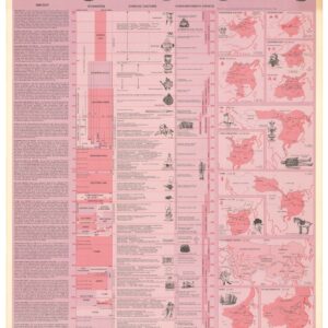
This large and finely lithographed case map depicts Australia, New Zealand, and Tasmania as British colonies at the height of the Victorian era. Sectioned and mounted on original linen, the map folds into the publisher’s cloth covers with gilt decoration.
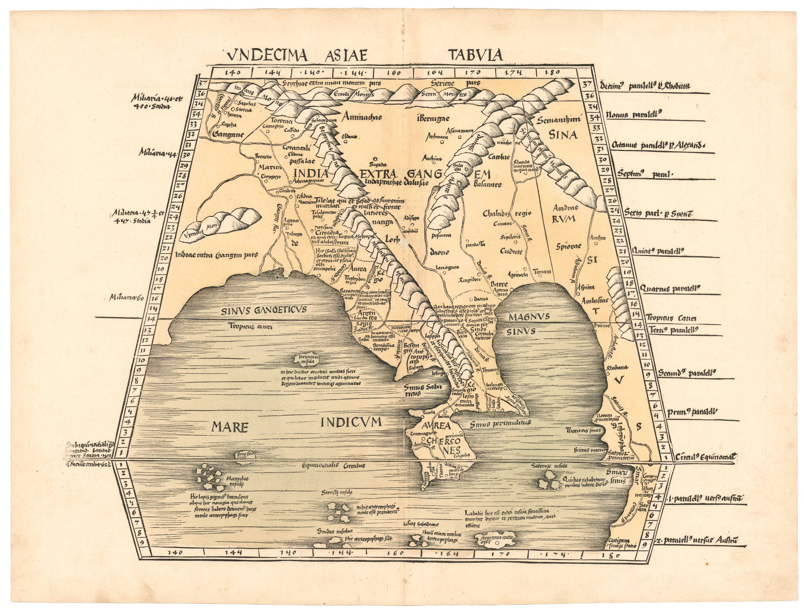
Published in Edinburgh in 1861, the map represents one of the more detailed mid-19th-century British treatments of the Australasian colonies. Australia occupies the majority of the sheet, with provincial boundaries, counties, settlements, and physical geography clearly delineated. A particularly notable feature is the documentation of the routes of eleven major exploratory expeditions into the Australian interior, reflecting the intense European effort during the mid-19th century to understand and map the continent’s vast interior regions.
Numbered county indices help organize the colonial administrative divisions across Australia. Several inset maps provide more detailed views of important colonial centers and regions, including Victoria, Port Jackson and Botany Bay (Sydney), Port Phillip (Melbourne), and the Mount Alexander Gold Region, whose discovery helped drive the Victorian gold rush and rapid settlement of southeastern Australia.
Beyond the Australian mainland, the map includes detailed depictions of Tasmania (Van Diemen’s Land) and New Zealand, both key outposts of the British Empire in the South Pacific. A small inset at the bottom of the sheet illustrates the principal commercial sea routes connecting Australia with the rest of the world, highlighting the colony’s growing importance within global trade networks.
Overall, the map offers a comprehensive snapshot of the Australasian colonies during a period of rapid exploration, settlement, and economic expansion.
Census
This map is scarce. It is not listed in Tooley and is found in only two institutional collections: the National Library of Australia and the State Library of New South Wales (OCLC 224644305).
Cartographer(s):
Adam & Charles Black were two Scottish brothers who established the publishing house A & C Black in Edinburgh in 1807. The firm has a rich history. Notably, they have published the renowned Who’s Who since 1849 and the seventh, eighth, and ninth editions of the Encyclopedia Britannica (1827-1903). The seventh edition was obtained from Archibald Constable following his company’s failure to publish it. Despite Adam Black’s initial disapproval, the ninth edition became a tremendous success, selling half a million sets in 24 volumes.
From 1839, A & C Black published a renowned series of travel guides called Black’s Guides. Other notable publications include Sir Walter Scott’s Waverly novels, Black’s Medical Dictionary, and the Know The Game series, providing the rules for specific sports. Most famous are perhaps the A & C Black Colour Books: Twenty Shilling Series, published between 1901 and 1921. These high-quality collectible picture books continue to be highly desired by bibliophiles.
In 1889, the company relocated to London’s Soho district. In 2000, A & C Black was purchased by Bloomsbury Publishing, who have continued producing their well-known range of reference works.
Condition Description
Large tinted lithographed case map with colors finished by hand. Segmented, mounted to original linen back, folding into publisher's gilt-blocked cloth covers; case a bit worn and starting at spine, map with moderate soiling.
References
![[Sri Lanka] Tabula Duodecima Dasia.](https://neatlinemaps.com/wp-content/uploads/2023/03/NL-01721_thumbnail-300x300.jpg)