


The narrative of Captain John Franklin’s second great expedition into the Arctic Canadian wilderness.
Narrative of a Second Expedition to the Shores of the Polar Sea, in the Years 1825, 1826, and 1827. [First Edition]
Out of stock
Description
This is the first edition of Sir John Franklin’s account of his second expedition to the Canadian Arctic, which set off in 1825 and lasted for two full years. The expedition was a follow-up to Franklin’s first voyage (1819-22), which had mapped extensive tracts of coastline east of the Coppermine River. While the first expedition was a success regarding its scientific and cartographic outcome, it was beset with violence, suffering, and death. The second expedition proved a far more comfortable experience, with ample supplies provided and managed by the Hudson Bay Company.
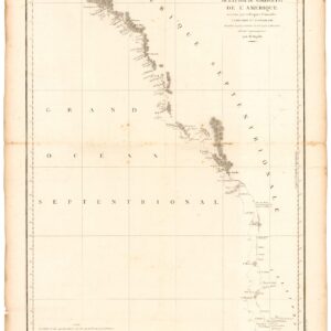
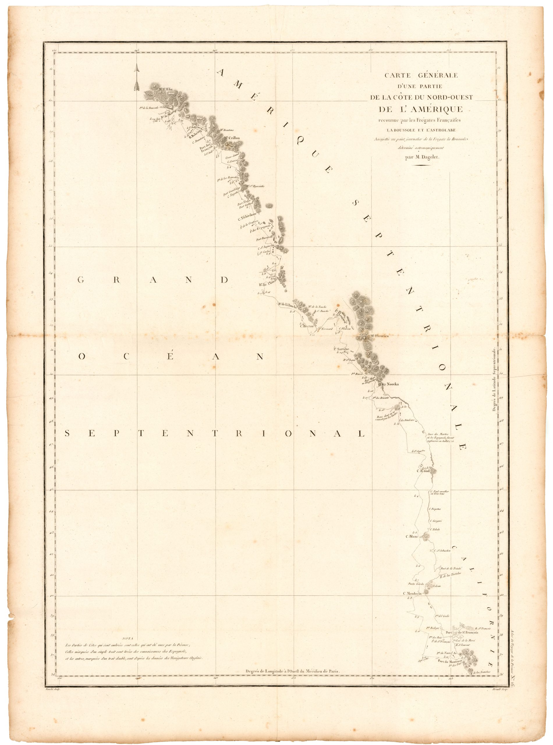
Known as the Mackenzie River expedition, the second voyage aimed to survey the northern coastline from the mouth of the Mackenzie River and westward. While the formal objective was charting the shoreline and rivers, a more romantic element of exploration was also at play. Franklin’s second in command, Frederick William Beechey, had been charged with approaching the Mackenzie River from the East by sailing up through the Bering Strait and turning east. The goal, of course, was finding a Northwest Passage, and the failure to do so was the primary reason that Franklin embarked on his disastrous third expedition in 1845.
Like in his first expedition, Franklin approached the north coast by land. This time, however, the party used the standard Hudson Bay Company route to Great Slave Lake and sailed more than a thousand miles down the Mackenzie River to reach its mouth in August of 1825. The team wintered at Fort Franklin on Great Bear Lake before making their way downriver again when the snow melted. Despite the season, Franklin found the sea frozen and continued west on foot. When the expeditionary force finally gave up and back-tracked in August of 1826, they named the furthest point Return Reef. Its location was only about 150 mi (240 km) east of Point Barrow, the easternmost point reached by Beechey.
Franklin’s team reached the safety of Fort Franklin in late September and spent the winter at Fort Chipewyan. He returned to Liverpool in early September 1827. As a historical curiosity associated with this particular expedition, excerpts from Franklin’s diary describe his men playing hockey on the ice of the Great Bear Lake while waiting for the winter snow to melt. The town of Délı̨nęis is consequently considered one of the birthplaces of the sport.
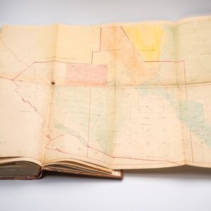
Like the narrative of the first expedition, this volume was published in quarto format by John Murray of London. It is bound in 19th-century half-calf and contains 31 engraved plates and six folding maps. In addition to surveying a significant portion of America’s northern coastline, the expedition collected new and essential data related to magnetism, geology, topology, and meteorology.
Cartographer(s):
Sir John Franklin (16 April 1786 – 11 June 1847) was a Rear-Admiral in the British Royal Navy and a famous Arctic explorer. After serving in the Navy during America’s War for Independence and the ensuing Napoleonic Wars in Europe, he led two expeditions into the Canadian Arctic in 1819-22 and 1825-27.
Following Franklin’s triumphant return from his second voyage, he was knighted by George IV in 1829 and the same year awarded the first Gold Medal of the Société de Géographie of France. Franklin would go on to serve as Lieutenant-Governor of Van Diemen’s Land from 1839 to 1843, before launching his third and final Arctic expedition in 1845. During this fateful voyage, Franklin’s ships became icebound off King William Island in what is now Nunavut. Franklin would die here in June of 1847. The icebound ships were abandoned ten months later and the entire crew died from starvation, hypothermia, and scurvy.
John MurrayJohn Murray (27 November 1778 – 27 June 1843) was a Scottish publisher and member of the John Murray publishing house based in London.
Condition Description
Errata leaf. 31 engraved plates and 6 folding maps including one colored (some foxing to plates, mild browning, largest map bound upside-down). 19th century half calf (re-backed, corners showing).
Provenance: Sarah C. Chichester (gift inscription from Washington Bowie) – High Latitude, Bainbridge Island; then Martin Greene Library (Christie's 2017).
References
Abbey Travel 635; Arctic Bib. 5198; Field 561; Hill 636; Lande 1182; NMM 843; Sabin 26228; Streeter sale 3699; TPL 1434; Wagner-Camp 34.
![[Arctic Exploration] Nord Polar Karte von V. v. Haardt.](https://neatlinemaps.com/wp-content/uploads/2024/05/NL-02108_thumbnail-300x300.jpg)