Watson’s rare 1871 county and railroad map of the West.
Watson’s New County and Railroad Map of the Western States and Territories
Out of stock
Description
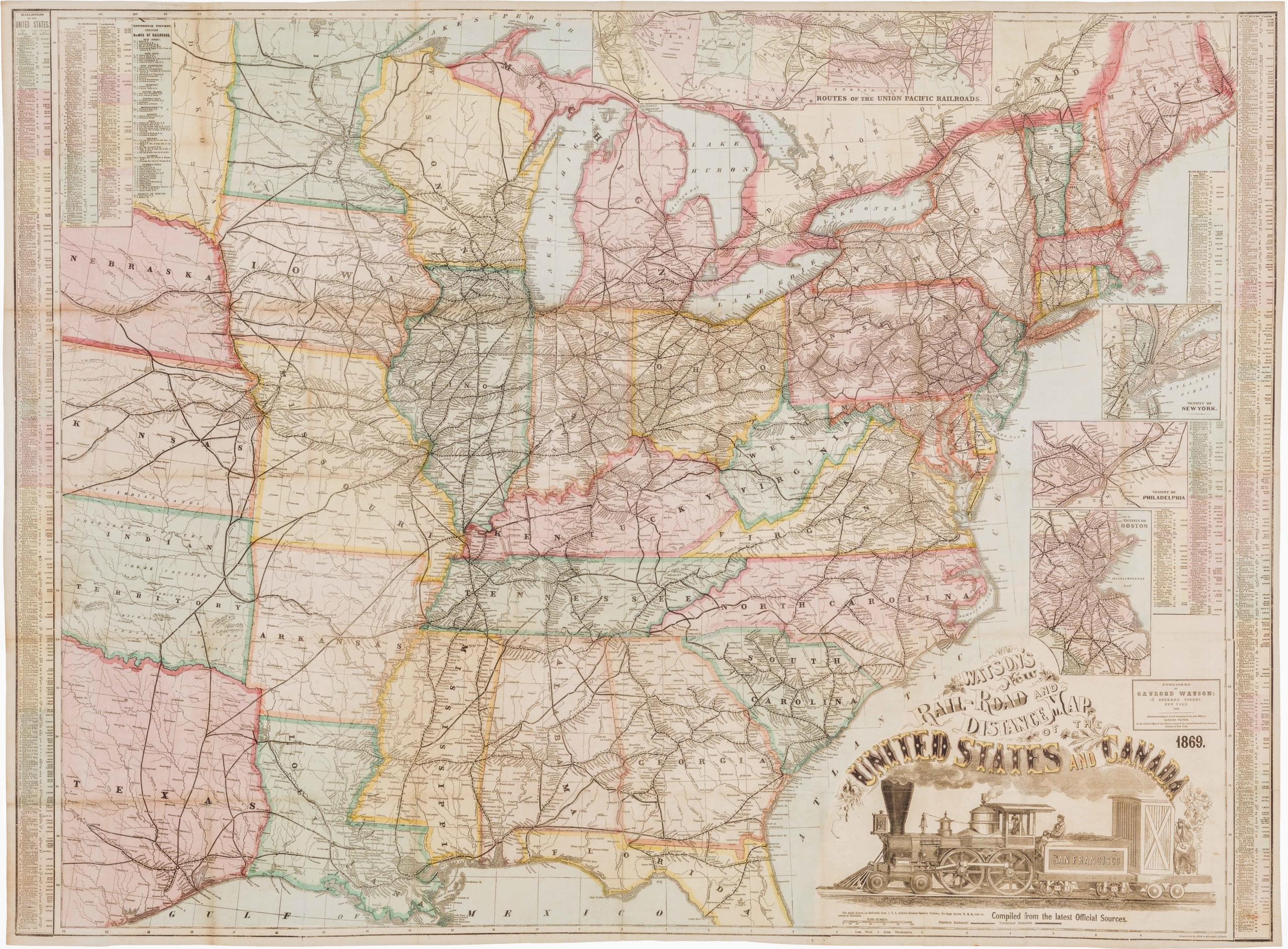
A rare, large-scale map of the American west. This map depicts the area of the United States from western Kansas to the Pacific. It shows early railroad development in the West, as well as many projected (some never to be built) railroad lines. Two panels of text at top are titled “The Railroads to the Pacific Coast” and “The Pacific States and Territories.”
Surprisingly, the map is not listed in Modelski. This 1871 template was Watson’s foundation map for later maps of the West, which were issued in his 1875 New Commercial County and Railroad Atlas. A second edition of this map was issued by Watson in New York City in 1874 with four large insets of San Francisco, New York City, Chicago, and St. Louis added on the sides. Also in 1874 Watson issued in New York City a companion map of just the eastern part of the United States under the title “Watson’s New County and Railroad Map of the United States and the Dominion of Canada.”
The Gaylord Watson Company “produced maps and atlases between 1871 and 1885, initially in New York City but also in Chicago after 1883. Between 1871 and 1874, Gaylord Watson published several editions of a New County and Railroad Map of the United States and the Dominion of Canada, which extended west only to the 103d meridian. It also published a map of the western states and territories in 1871. The similarity in appearance, content, and in the map title of Gaylord Watson maps to the 1876 Rand McNally maps suggests the possible cooperative relationship between them. The Gaylord Watson maps were also reproduced by the wax engraving process, some of them by Fisk & Russell of New York City.” (Ristow, p. 473)
Cartographer(s):
Gaylord Watson (1833 – 1896) was an American map publisher and engraver based in New York City.
Condition Description
Very good; backed with archival Japanese tissue paper. Minor chip at left side margin.
References
Ristow, Walter W. American Maps and Mapmakers: Commercial Cartography in the Nineteenth Century. Detroit, MI: Wayne State University Press, 1985.
![[Vietnamese Maps of North America: Mexico, Canada, USA]](https://neatlinemaps.com/wp-content/uploads/2022/04/NL-01262-USA_thumbnail-scaled-300x300.jpg)
