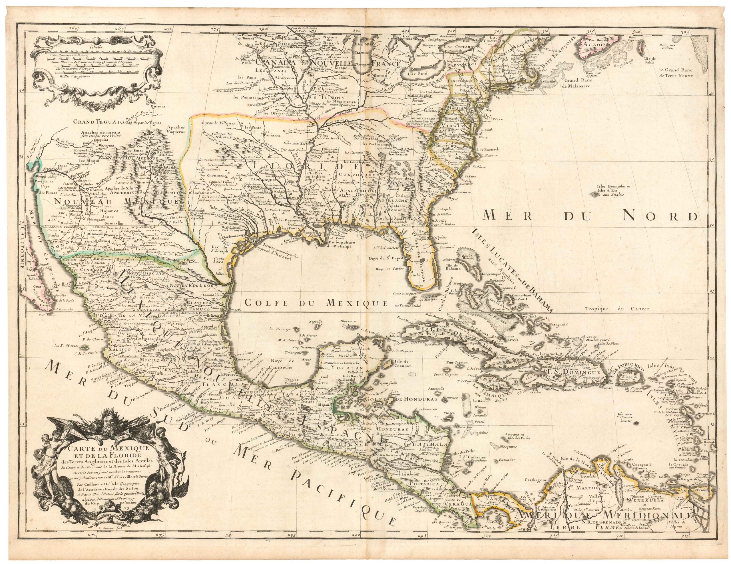
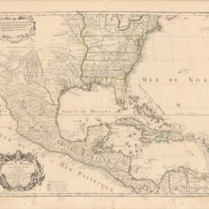
Showcasing French territorial claims and Native American settlements during the French and Indian War.
Carte de la Louisiane et Pays Voisins.
Out of stock
Description
“The “Carte de la Louisiane et Pays Voisins” by Jacques-Nicholas Bellin, created in 1757, is a detailed map of the Mississippi Valley during the French and Indian War. It spans from the Rio Grande to Lake Ontario and from Lake Huron to the Gulf of Mexico. This map highlights numerous Native American settlements and French territorial claims, extending to the Appalachian Mountains and the Rio Grande.
Bellin’s work is notable for its accuracy, which is derived from contemporary sources. It provides a comprehensive view of French forts and settlements, emphasizing France’s peaceful relations with Native Americans. Bellin has delineated the French province of Louisiana and adjacent Spanish provinces of Florida and New Mexico in an attempt to define the French territorial claims amid a wider colonial conflict. Bellin had a national interest in extending French territory as broadly as possible, relegating the claims of rivals Spain and England to the edges of the image.
However, this is not to say that he wasn’t accurate in his depiction. Bellin incorporated the latest information from Jesuit missionaries, French fur traders, and ship captains, and his cartography was meticulously detailed. Labeled Native American tribes, forts, villages, towns, missions, and navigable rivers provide an exciting snapshot of mid-18th century colonial America during the French and Indian War. Fort Duquesne, Fort Niagara, and Fort Necessity (all seen in the upper left) hosted significant engagements during the conflict. The last, the Battle of Fort Necessity, took place in July of 1754 and was the only surrender in the military career of George Washington.
This map is based on De L’Isle’s large map centered on the Mississippi River. The map also highlights the unknown region in Northern Texas & the Native American Territories between the Mississippi and Rio Grande. The first settlements west of New Orleans along the Gulf Coast and the interior of Texas are shown, along with the courses of several rivers.
Cartographer(s):
Jacques Nicolas Bellin (1703 – 1772) was a French hydrographer, geographer, and intellectual who worked for the Ministère de la Marine from age 18. Born in Paris, Bellin was appointed to the hydrographic office of the French Navy in 1741, rising quickly through the ranks to become its chief mapmaker. He was appointed to the Académie de Marine and the Royal Society of London.
During his long career, Bellin developed new and very accurate systems for compiling coastal charts, and he became one of the most copied cartographers of the 18th century. Over the course of fifty years, Bellin produced a large number of maps for the Ministère de la Marine. His maps of Canada and French territories in North America (New France, Acadia, Louisiana) were particularly valuable because they helped secure navigation on the St. Lawrence River and formed the cartographic basis for French claims of the Great Lakes region and Mississippi River Valley. He died at Versailles.
Condition Description
Good. Wear and discoloration along edge, not affecting image. Wide margins.
References
