-
-
Add to cart
 Quick View
 - East & Midwest United States, Featured Maps & Views
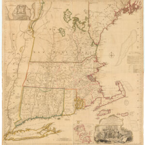
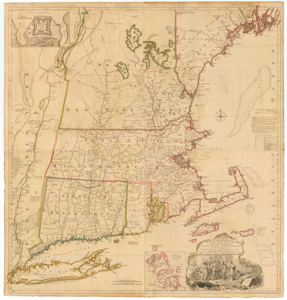
A MAP of the most INHABITED part of NEW ENGLAND, containing the PROVINCES of MASSACHUSETS BAY and NEW HAMPSHIRE, with the COLONIES of KONEKTIKUT AND RHODE ISLAND…
- $55,000
- Unobtainable first state of one of the most influential maps of New England ever made.
-
-
-
-
-
Add to cart
 Quick View
 - United States
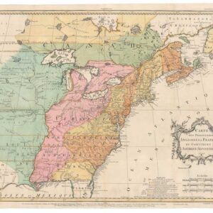
Carte des Possessions Angloises & Francoises du Continent de L’Amerique Septentrionale 1755.
- $7,500
- An early state of Jean Palairet’s map depicting English and French possessions in America.
-
-
-
-
Add to cart
 Quick View
 - Canada and The Great Lakes
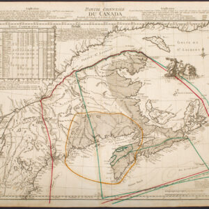
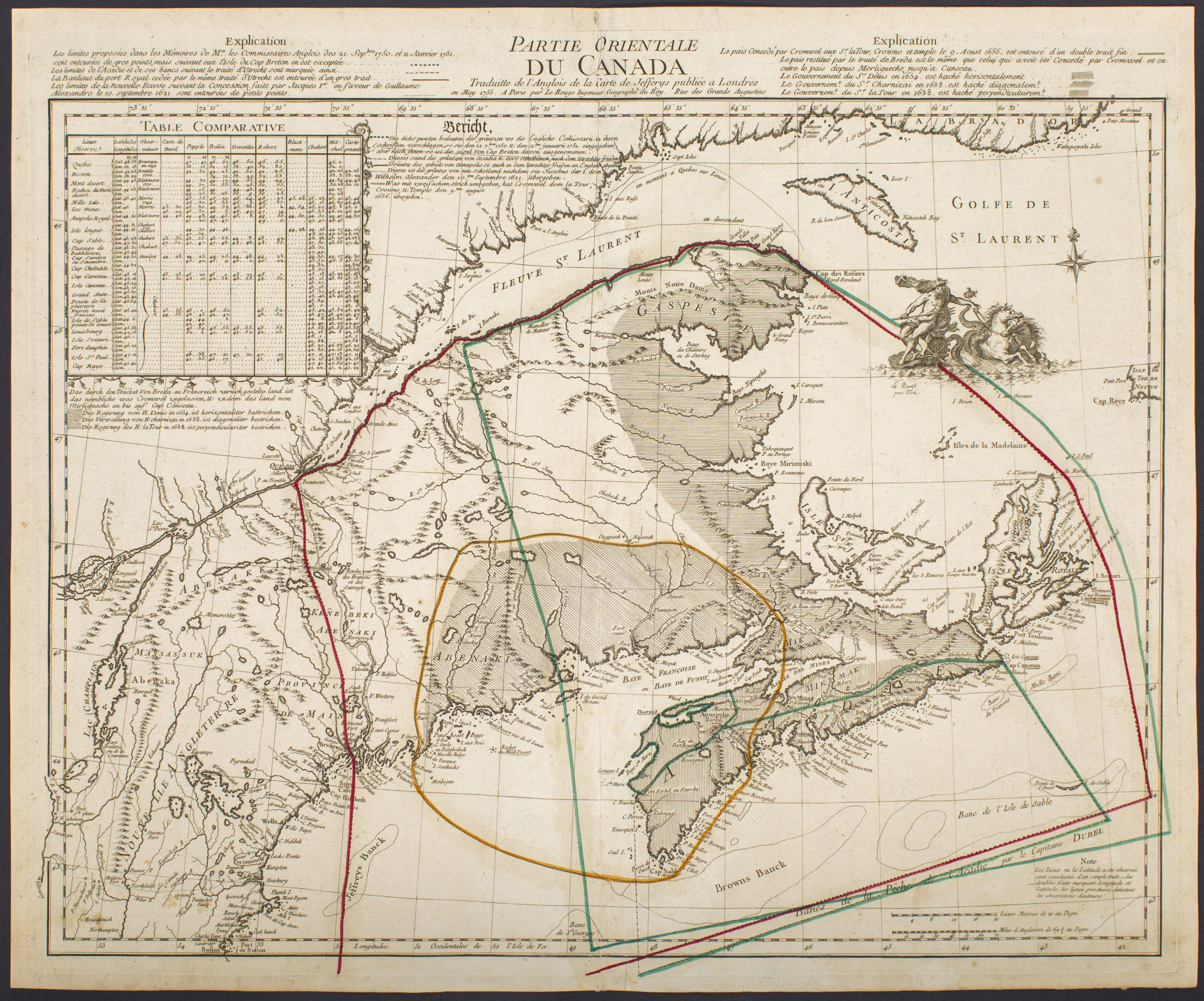
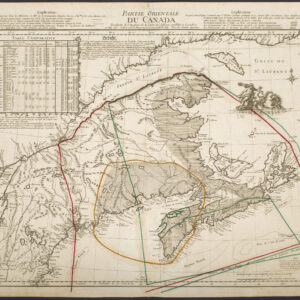
Partie Orientale Du Canada Traduite de l’Anglois de Carte de Jefferys publiée a Londres en May 1755…
- $2,850
- Scarce 1755 map of French and British historical claims, published in Paris on the eve of the Seven Years’ War.
-
-
-