
The All-Union Institute of Visual Geodesy, known by its Russian acronym IZOGAT (Всесоюзный институт изобразительной геодезии), was a Soviet state cartographic institution operating under the Central Executive Committee of the USSR and the State Planning Commission (Gosplan).
Established in the early Soviet period as part of the broader rationalization and nationalization of cartographic production, IZOGAT was responsible for producing maps, charts, diagrams, and visual statistical materials in support of Soviet economic planning and public information campaigns.
IZOGAT was one of several competing and overlapping Soviet cartographic institutions of the Stalin era; its output was eventually consolidated into the centralized state cartographic enterprise that produced Soviet mapping through the remainder of the twentieth century.
-
-
Add to cart
 Quick View
- Europe, Russia & Eastern Europe
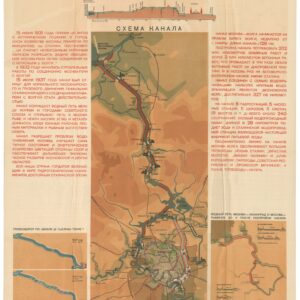
КАНАЛ МОСКВА — ВОЛГА [THE MOSCOW-VOLGA CANAL].
- $650
- 1938 Soviet Propaganda Poster Map of the Canal that Connected Moscow to the Volga.
-
-