
Carl Christian Franz Radefeld (1788–1874) was among the most prolific German cartographers of the nineteenth century, working primarily for the Bibliographisches Institut founded by Joseph Meyer — first at Hildburghausen, later at Leipzig — for which he served as principal cartographer across several decades. His most substantial contributions were to Meyer’s geographical publishing programme: the Grosser Hand-Atlas and the Grosser Zeitungs-Atlas, the latter an innovative reference work designed to help newspaper readers locate and understand the geography of current events as they unfolded. The concept of the Zeitungs-Atlas — an atlas organized around the news rather than around conventional regional divisions — was itself a reflection of the mid-nineteenth century’s appetite for timely geographical information, driven by the acceleration of events during the revolutionary and nationalist upheavals of the 1840s and 1850s. Radefeld’s maps for Meyer’s publications were engraved to a high standard and widely distributed through the Bibliographisches Institut’s extensive retail network, making his work among the most commonly encountered German cartography of its era.
-
-
Add to cart
 Quick View
 - Asia, India
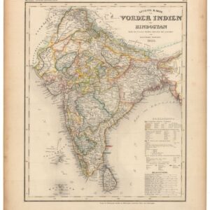
Neueste Karte von Vorder Indien oder Hindostan.
- $200
- 1850 Map of India Showing the Power of the East India Company.
-
-
-
-
Add to cart
 Quick View
 - Texas and The West, United States
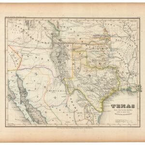
Texas Nach den besten Quellen entw. U. Gez. Vom Hauptm. Radefeld.
- $1,200
- Rare second edition of Meyer's map of Texas and the Southwestern U.S. with substantial updates and revisions.
-
-
Archived
- Out of Stock
- United States
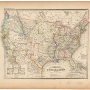
General-Karte der Nord-Amerikanischen Freistaaten.
- 1853 Map of the United States from Meyer's Atlas, with Capitol Inset — One Year Before the Kansas-Nebraska Act.
- Read moreQuick View
-