
Peter S. Duval (1804–1886) was among the most important lithographers in nineteenth-century America, his Philadelphia firm producing maps, prints, and illustrated publications of consistently high quality.
-
-
Add to cart
 Quick View
 - United States
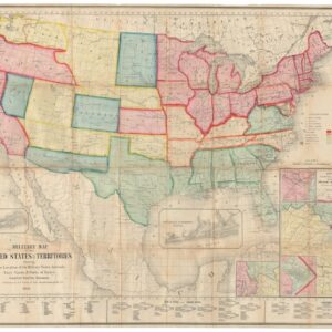
Military Map of the United States & Territories Showing the Location of the Military Posts, Arsenals, Navy Yards, & Ports of Entry.
- 1861 Civil War Map Showing Arizona as a Confederate Territory, and Among the First Maps to Show the Three New Territories of Colorado, Dakota, and Nevada.
-
-