
The Sanborn Map Company (1867 – present) was founded by Daniel Alfred Sanborn (1827 – 1883) to produce insurance maps of cities throughout the United States. The company benefitted from the large-scale urbanization of the Reconstruction Era and the Gilded Age, which, combined with the high risk of fire and the growing insurance industry, demanded maps to track property ownership, lot and building sizes, and other details in the event of damage or destruction. Having produced similar maps for Aetna and other companies on a one-off basis, Sanborn founded his own firm in New York City and released his first atlas, of Boston, in 1867. His timing was impeccable as Boston, which had suffered several large fires before, saw its most destructive fire even in 1872. Other American cities burned in equally dramatic fashion around the same time, including the Chicago Great Fire of 1871. Sanborn, who showed a talent for business and quickly acquired many of his competitors, sent surveyors out to all the major cities in the country to produce atlases that were then sold to insurance companies, large property owners, and others with a vested interest in urban real estate. By 1916, Sanborn had acquired all its major competitors and established a virtual monopoly. Sanborn atlases are notable for their uniform scale, style, and attention to detail, and effectively constitute comprehensive plat maps for nearly all large and mid-sized American cities in the late 19th – early 20th centuries. The atlases were continually updated, and individual volumes are often decorated with many annotations, pastedowns, and other additions, demonstrating the evolution of property ownership and land use over time. As the atlases were often kept on site in buildings, frequently next to boilers and hot water heaters (to protect them in case of fire), they usually exhibit considerable water damage, making surviving examples in good condition even more valuable to collectors and institutions. Beginning in the 1930s, Sanborn’s map business began to drop off due to economic factors (the Great Depression) and changes in the insurance industry that no longer necessitated the large atlases. The company’s profits fell, but it continued to produce atlases for both local and the federal government for some time. After a period of difficulty, Sanborn was able to successfully adopt new technologies and survives to the present as Sanborn Geospatial.
-
-
Add to cart
 Quick View
 - Atlases & Books, East & Midwest United States, United States
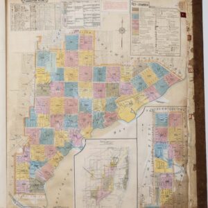
Insurance Maps of Miami, Florida Volume Three.
- $7,500
- Sanborn Fire Insurance Atlas of Miami, Florida – Volume 3: Coconut Grove & Silver Bluff.
-
-