-
-
Add to cart

 Quick View
- Bird's-eye-views, East & Midwest United States, Featured Maps & Views
[First State] Panorama of the Seat of the War Birds Eye View of Virginia, Maryland, Delaware and the District of Columbia
- $2,200
- Bachmann's dramatic 1861 panoramic view of the central theater of the American Civil War.
-
-
-
-
-
Add to cart
 Quick View
- East & Midwest United States
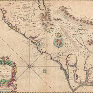
A New Description of Carolina.
- $4,000
- A beautiful example of Speed's notable mapping of the interior of Carolina.
-
-
-
-
Add to cart
 Quick View
- East & Midwest United States
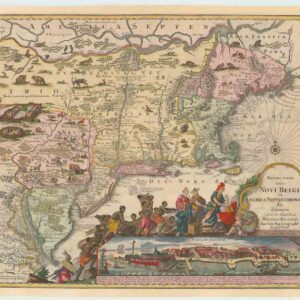
Recens Edita totius Novi Belgii, in America Septenrionali siti, delineatio cura et sumptibus
- $4,000
- The most widely emulated map of colonial North America, with one of the earliest views of New York City.
-
-
-
-
Add to cart
 Quick View
- East & Midwest United States, Texas and The West
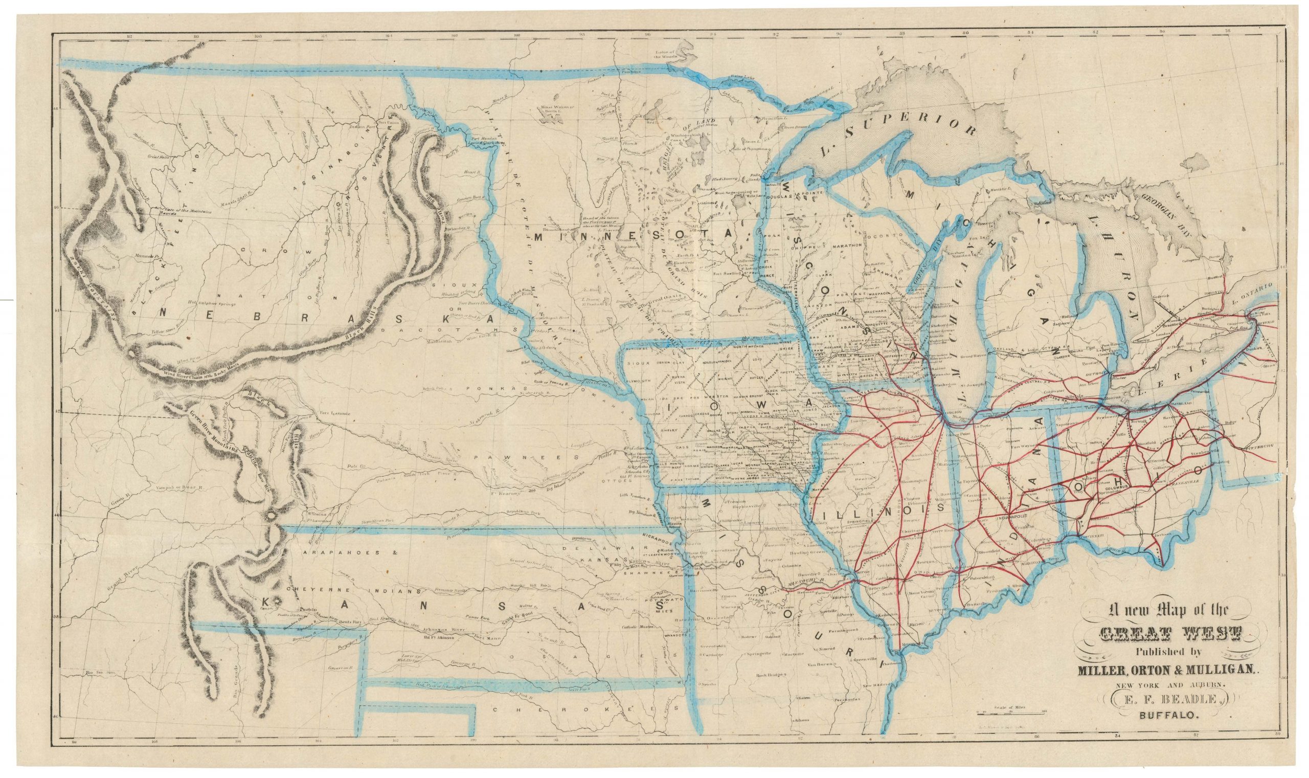
A New Map of the Great West
- $775
- From the creator of the dime-novel and the pulp fiction genre: this is Erastus Flavel Beadle’s rare and highly desirable map of the Great West.
-
-
-
-
-
Add to cart
 Quick View
- East & Midwest United States
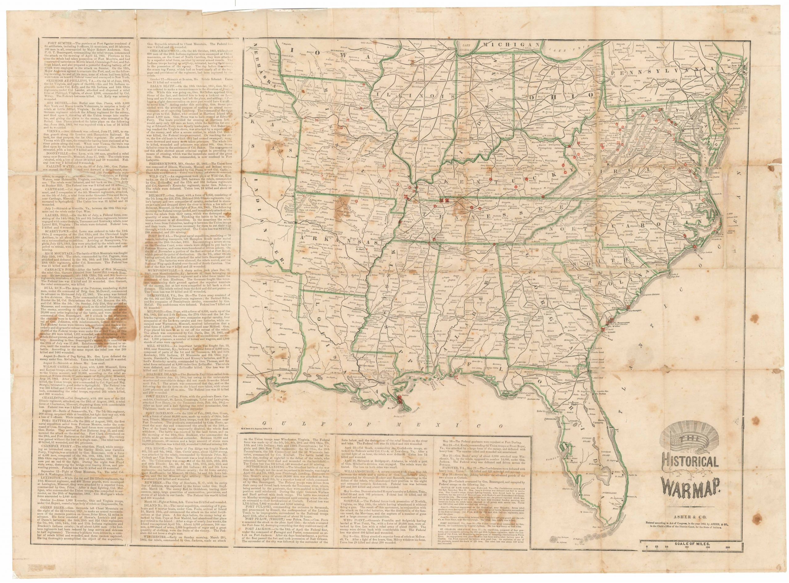
The Historical War Map.
- $975
- Printed broadside that provided the American public with a comprehensive overview of the Civil War, with an extensive narrative on the war’s progress.
-
-
-
-
-
Add to cart
 Quick View
- East & Midwest United States
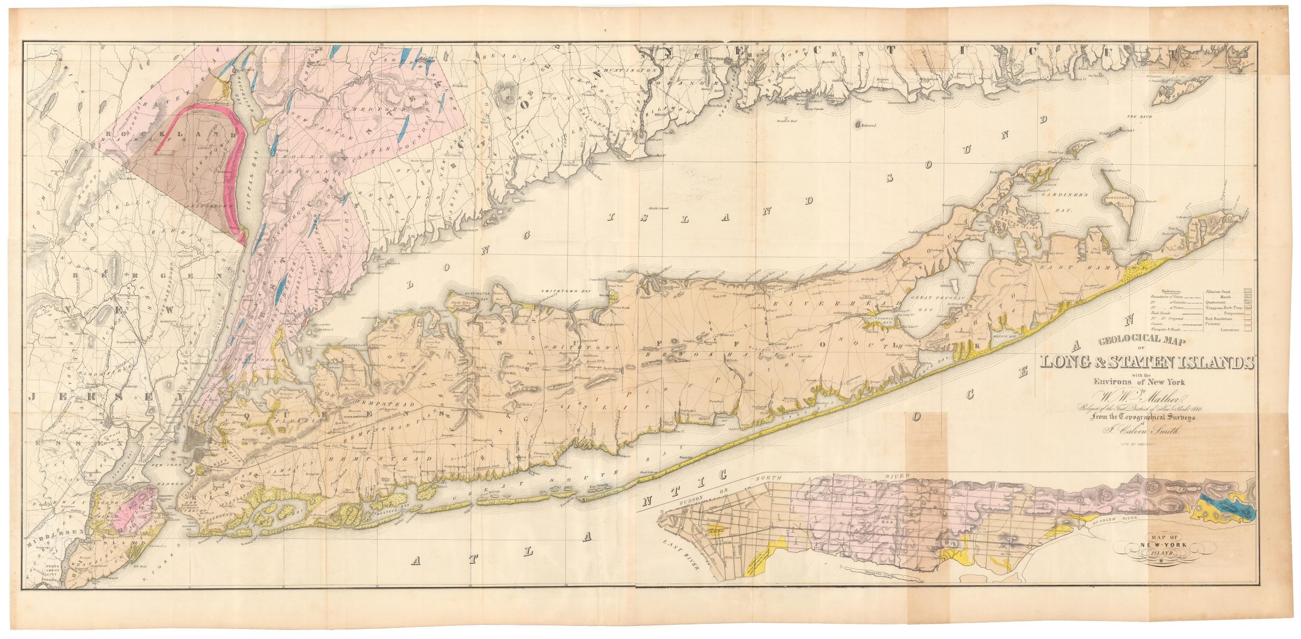
Geological map of Long & Staten islands with the environs of New York
- $1,700
- The first systematic mapping of the geology of Long Island.
-
-
-
-
-
Add to cart
 Quick View
- East & Midwest United States
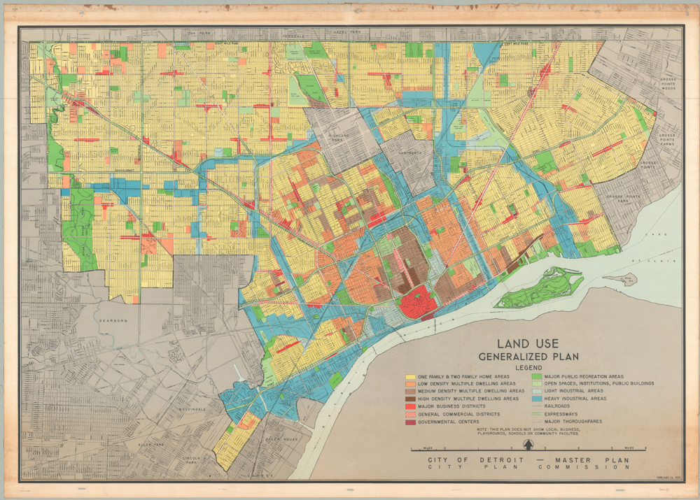
Land Use & Generalized Plan. City of Detroit – Master Plan
- $1,250
- Detroit’s Master Plan from 1950, the apogee of boom town Motor City.
-
-
-
-
-
Add to cart
 Quick View
- East & Midwest United States
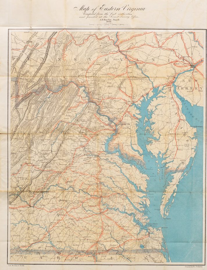
Map of Eastern Virginia Compiled from the best authorities and printed at the Coast Survey Office, A.D. Bache, Supdt. 1862.
- $1,700
- Alexander Bache’s Map of Eastern Virginia: a Union map of Washington’s Confederate backyard.
-
-
-
-
-
Add to cart
 Quick View
- East & Midwest United States
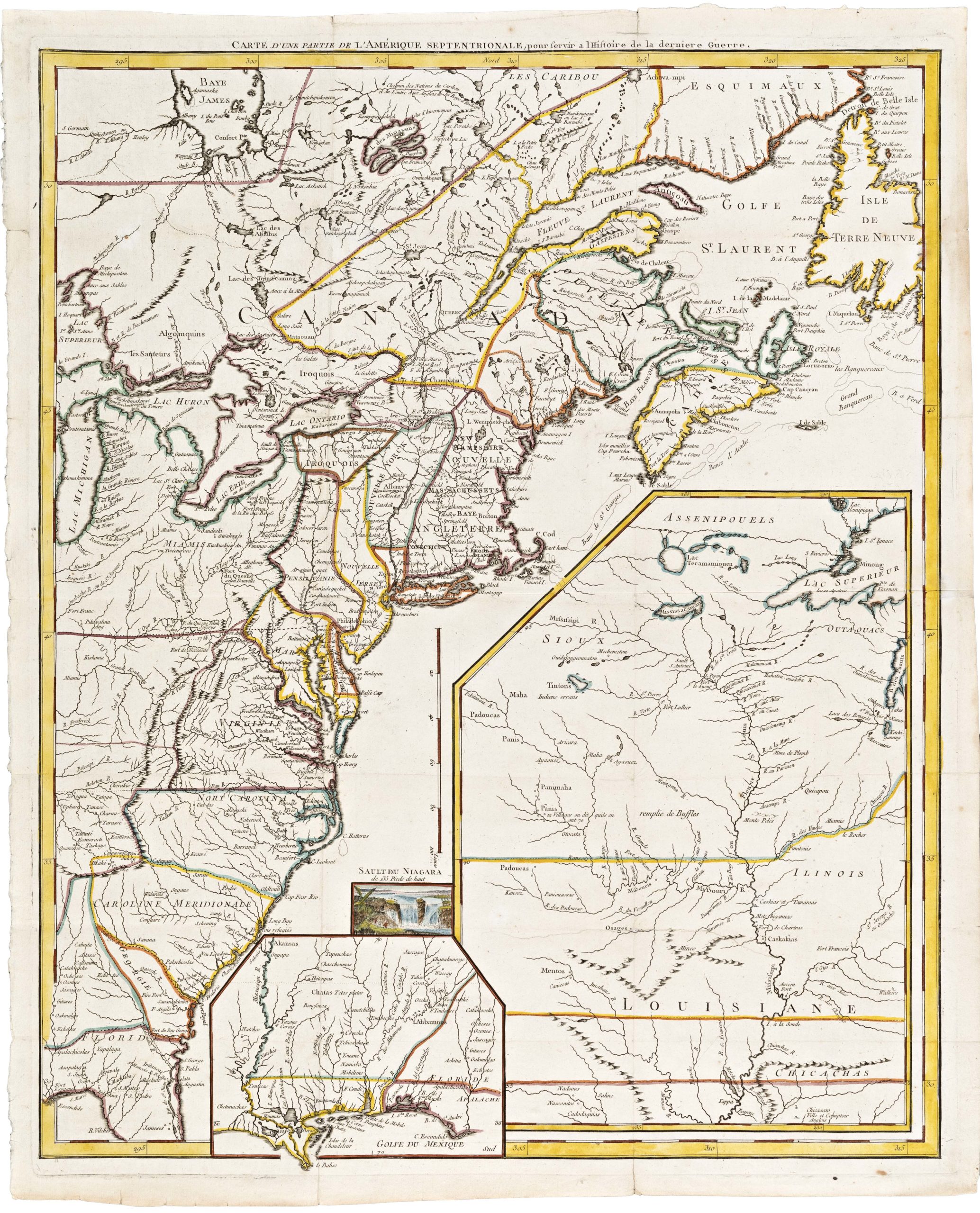
Carte D’Une Partie De L’Amerique Septentrionale, pour servir a l’Histoire derniere Guerre
- $1,400
- Mapping post-independence America: 1787 Le Rouge map of the East Coast and the Mississippi Valley.
-
-
-