Braddock Mead a.k.a. John Green (c. 1688 – 1757) was undoubtedly one of the most fascinating and important cartographers in the history of the London map trade. Born in Ireland, Mead showed an interest in cartography from an early age, publishing his first volume, The construction of maps and globes, in 1717. Despite his talents and ambitions, Mead tended to get himself in trouble and his petty crimes and poor reputation soon forced him out of Dublin. He moved to London and changed his name around 1717, but his Bohemian lifestyle of gambling and petty crime continued. In 1728 he was imprisoned for his role in a plot to defraud Bridget Reading, a 12-year-old Irish heiress; the main ringleader of the plot was hanged.
When Mead was released from prison, he took the alias of John Green and began a noteworthy career in mapmaking. His maps were characterized by an almost scientific approach to the compilation of geographic information and a meticulousness that outshone his contemporaries. Thomas Jefferys, the illustrious geographer to the Prince of Wales (later King George III) recognized his talent and hired him as an assistant in 1750. During this period he produced a number of groundbreaking new maps, focusing in particular on the American continents and Arctic regions. Mead compiled many of Jefferys’ finest and most celebrated charts, producing his hemispherical map within the first years of his employment. Mead’s life came to a tragic end when he committed suicide by jumping out of a window in 1757.
Braddock Mead is widely acknowledged for new standards in cartography. In the book British Maps of Colonial America, a standard reference on the early cartography of New England, William P Cumming writes: “The genius behind Jefferys in his shop was a brilliant man who at this time went by the alias of John Green…. Green had a number of marked characteristics as a cartographer. One was his ability to collect, to analyze the value of, and to use a wide variety of sources; these he acknowledged scrupulously on the maps he designed…. Another outstanding characteristic was his intelligent compilation and careful evaluation of reports on latitudes and longitudes used in the construction of his maps…” (1974: 45). Another great scholar of early American cartography, G.R. Crone, thought that Green: “deserves to be remembered for breaking away from the old unreformed cartography, and for perceiving clearly, and following as far as the existing data permitted, the methods upon which modern cartography was to be established” (1949:88).
-
-
Add to cartQuick View
- East & Midwest United States, Featured Maps & Views
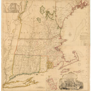
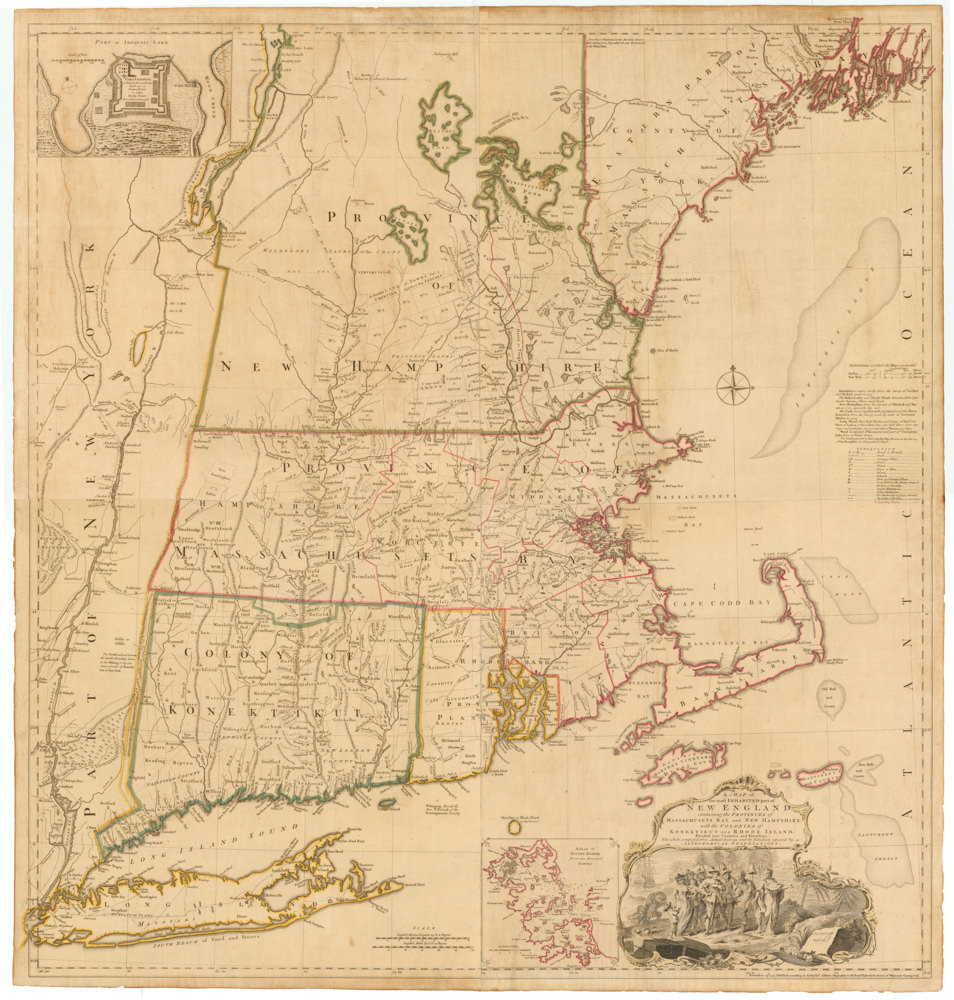
A MAP of the most INHABITED part of NEW ENGLAND, containing the PROVINCES of MASSACHUSETS BAY and NEW HAMPSHIRE, with the COLONIES of KONEKTIKUT AND RHODE ISLAND. Divided into Counties and Townships: The whole composed of Actual Surveys and its situation adjusted by ASTRONOMICAL OBSERVATIONS.
- $55,000
- Unobtainable first state of one of the most influential maps of New England ever made.
-
Add to cart
-
-
Add to cartQuick View
- Americas, North America, Pacific Northwest - Hawaii - Alaska, United States
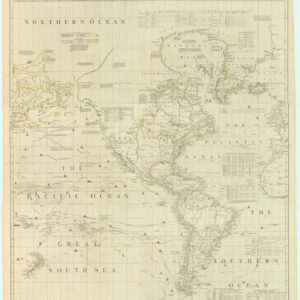
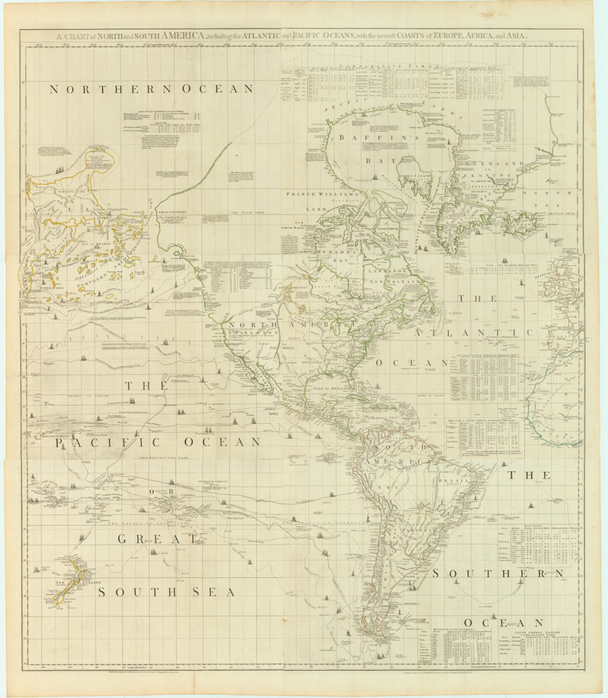
A Chart of North and South America, Including the Atlantic and Pacific Oceans, with the nearest Coasts of Europe, Africa, and Asia
- $4,200
- Sayer-Bennet-Mead's 1775 chart of the Western Hemisphere with Pacific and Arctic routes of exploration.
-
Add to cart


