Christian Gottlieb Reichard (1758-1837) was a German legal scholar who, despite his profession as a town clerk in Bad Lobenstein, developed a profound passion for geography, history, and cartography. His interest soon overshadowed his legal career, leading him to pursue cartographic endeavors alongside his clerical duties.
Reichard’s most notable contributions to cartography include the creation of the Atlas des Ganzen Erdkreises in der Central Projection (Atlas of the Whole World in the Central Projection) in 1803 and the Orbis terrarum antiquus (Atlas of the Ancient World) in 1824. Additionally, he is credited as one of the earliest cartographers to use the Albers conic projection.
Reichard’s maps were renowned for their exceptional accuracy during his time. His meticulous attention to detail and straightforward style made his output highly sought after for publication, leading him to collaborate with fellow cartographers on famous atlases, such as Stieler’s Handatlas.
-
-
Add to cartQuick View
- North America, United States, Americas
Charte Von Nord America Entworfen und gezeichnet von C.G. Reichard…Erganztr und nach den neuern Entdeckungen desr Hrn. Lewis, Clarke n. Pike…1817.
- $1,600
- A noteworthy and era-specific snapshot of North American geography and exploration during the early 19th century.
-
Add to cart
Archived
- Out of Stock
- Asia
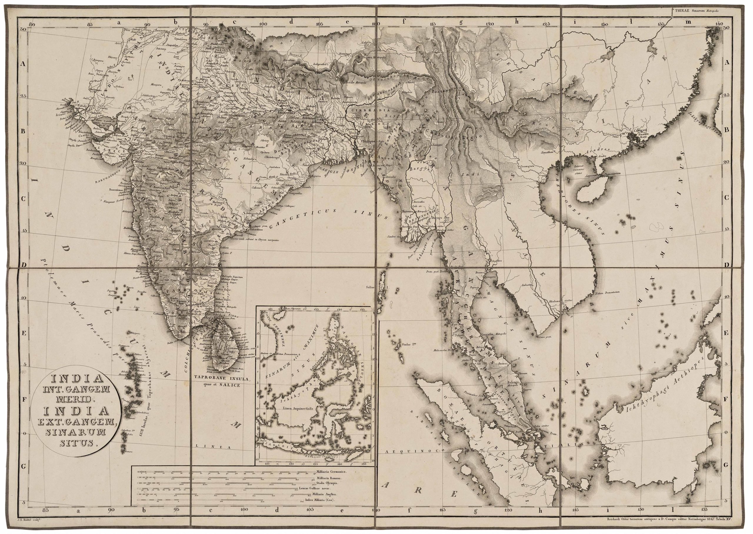
India int. Gangem merid., India ext. Gangem, Sinarum situs.
- Locating Ptolemy on a contemporary map: 19th century map of India and Southeast Asia with classical references.
- Read moreQuick View
-


