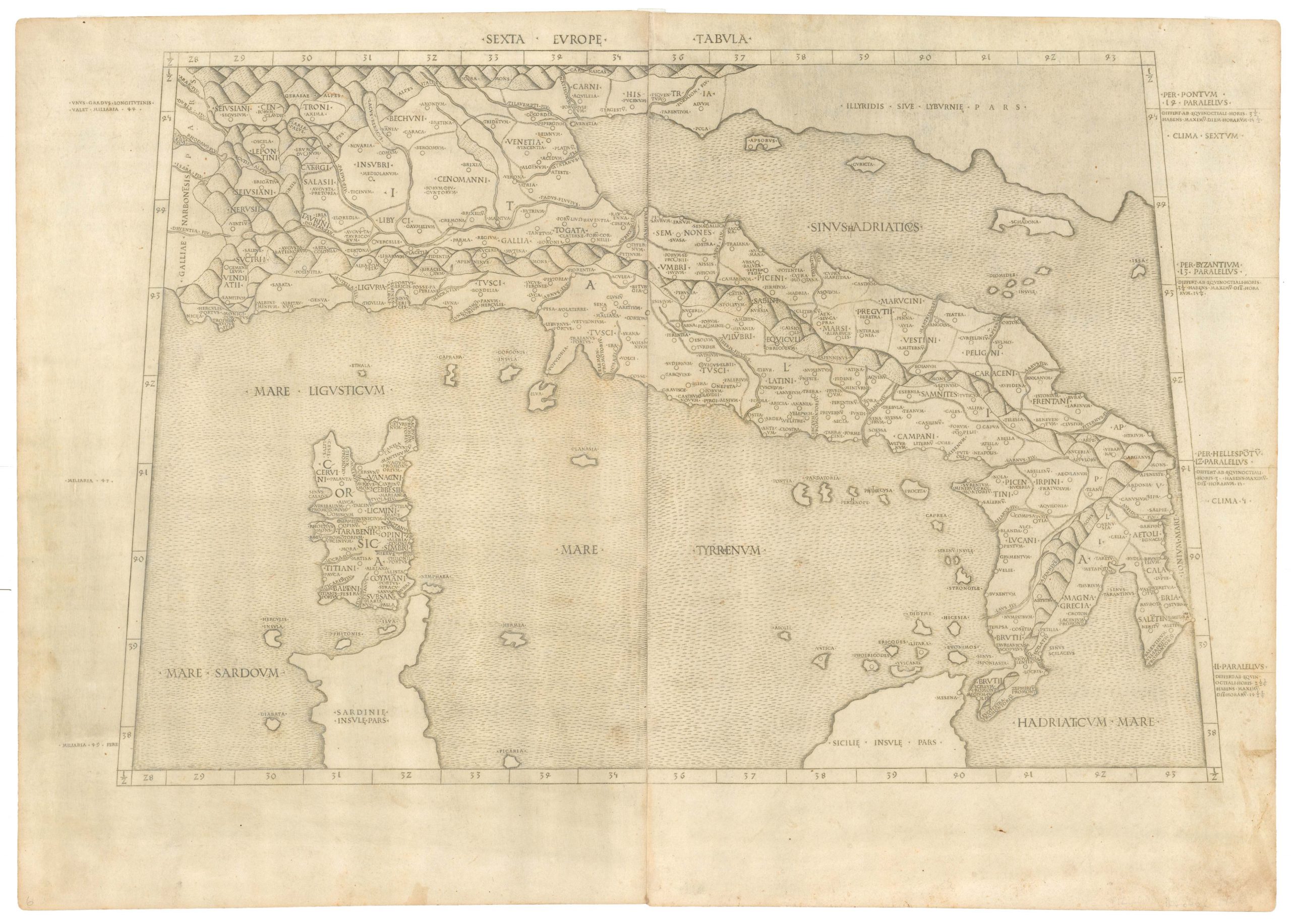
Roman geographer and mathematician Claudius Ptolemy (c. 100 – 170 CE) solidified geography as an independent discipline.
The Ptolemaic understanding of the world stems from Ptolemy’s seminal work, Geographia. Initially intended to revise and critique another (now lost) geography written by Marinus of Tyre, Ptolemy compiled Geographia in Alexandria around 150 CE. It consisted of a treatise on world geography, instructions on making maps, and a topographically-anchored gazetteer. It forms the basis of scientific cartography: a coordinate-based system meant that future cartographers (even many centuries later) could recreate its maps using the published data. The work covered an area from the Canary Islands in the west to the coasts of China and Korea in the east.
-
-
Add to cartQuick View
- Featured Maps & Views, Turkey - Ottoman Empire
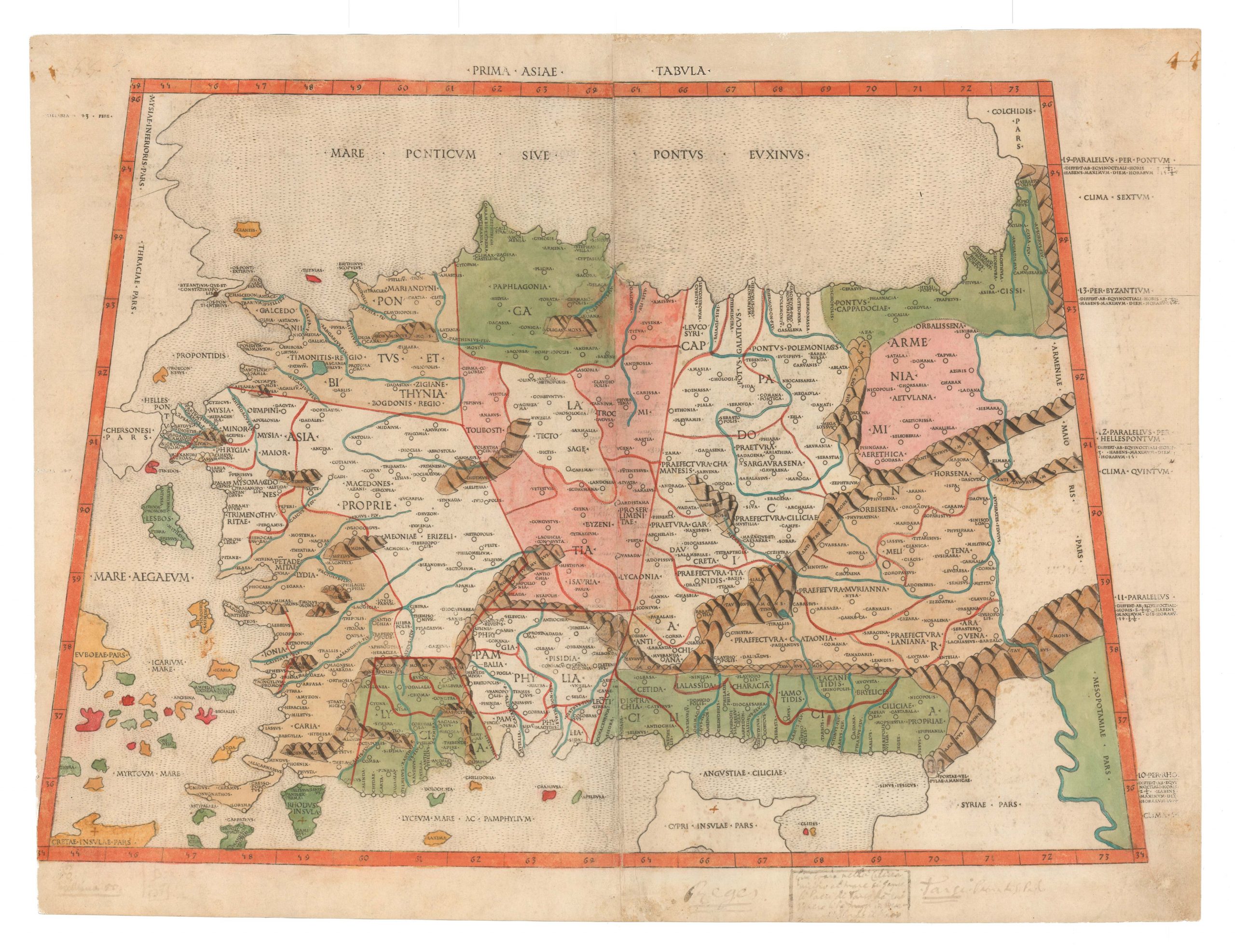
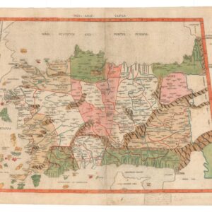
Prima Asiae Tabula.
- $9,500
- The first printed map of Turkey.
-
Add to cart
Archived
- Out of Stock
- Asia
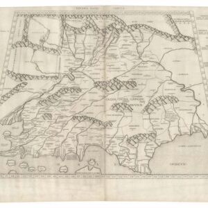
Decima Asiae Tabula.
- 1490 Ptolemaic map of the Indian Subcontinent.
- Read moreQuick View
-
- Out of Stock
- Italy
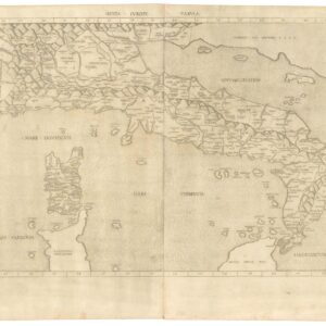
Sexta Europe. Tabula.
- The earliest obtainable map of Italy, a gorgeous impression in original black & white.
- Read moreQuick View
-

