George Holbrook Baker (1827-1906) was a Massachusetts-born artist who learned his trade from the New York engraver George C. Smith. Following his apprenticeship, Baker attended the National Academy of Design before emigrating to California during the height of the Gold Rush. He arrived in San Francisco in late May 1849, and within three months, his first views of the town were being published in New York.
Baker briefly tried his luck prospecting for gold, but like so many other emigrants, he found that it was easier to make a living using the talents and skills with which he arrived. Even today, it is a commonly held notion that the people who became rich from the Gold Rush were the shovel and pan-sellers rather than the prospectors themselves.
In 1852, Baker moved from San Francisco to the new state capital at Sacramento, where he started several businesses and two periodicals while also creating new and sought-after views of northern California. In 1857, Baker drew and published a large birds-eye-view of the young ‘City of the Plain’ (printed as a lithograph by Britton & Rey in San Francisco), which achieved enormous popular success. In 1862, after a devastating flood had ruined him, Baker moved back to San Francisco and started a lithography and publishing firm that specialized in advertising and posters, including architectural and urban vistas, dedicated stock certificates, and regional maps. Despite more than a decade of success, his company was gradually outcompeted during the 1880s, and by around 1890, Baker closed his doors and retired.
Despite his ending in commercial failure, George Baker is acknowledged as one of the most significant artists and lithographers of the Gold Rush era. His work constitutes some of the most important visual documentation of California during the formative decades of its incorporation into the United States.
-
-
Add to cartQuick View
- California
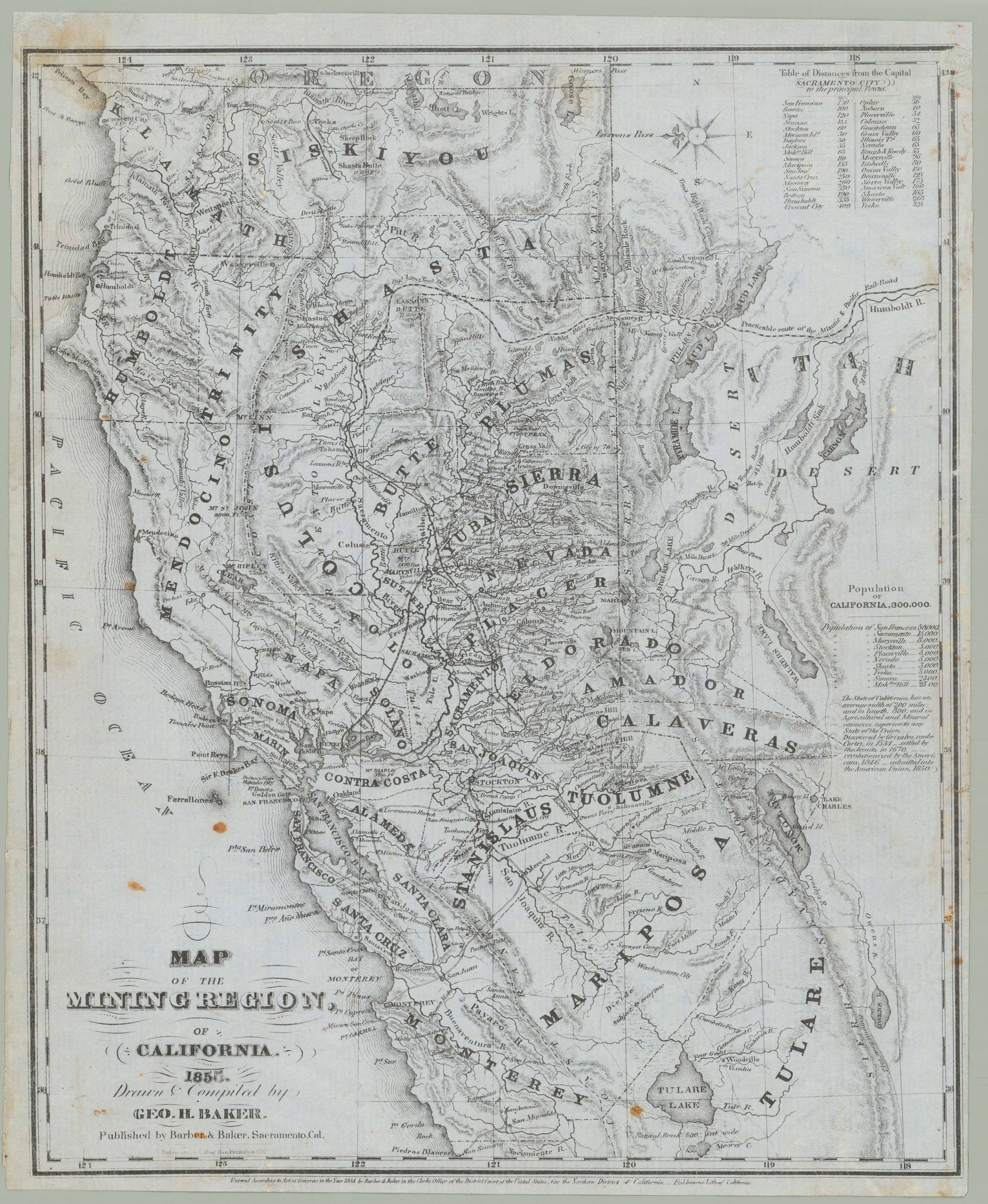
Map of the Mining Region of California 1855. Drawn and Compiled by Geo. H. Baker
- $8,500
- George Holbrook Baker’s 1855 letter sheet mining map of northern California.
-
Add to cart
-
-
Add to cartQuick View
- San Francisco
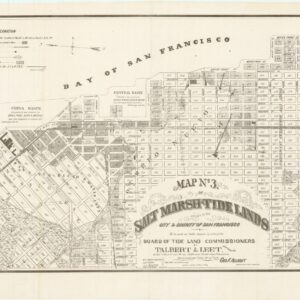
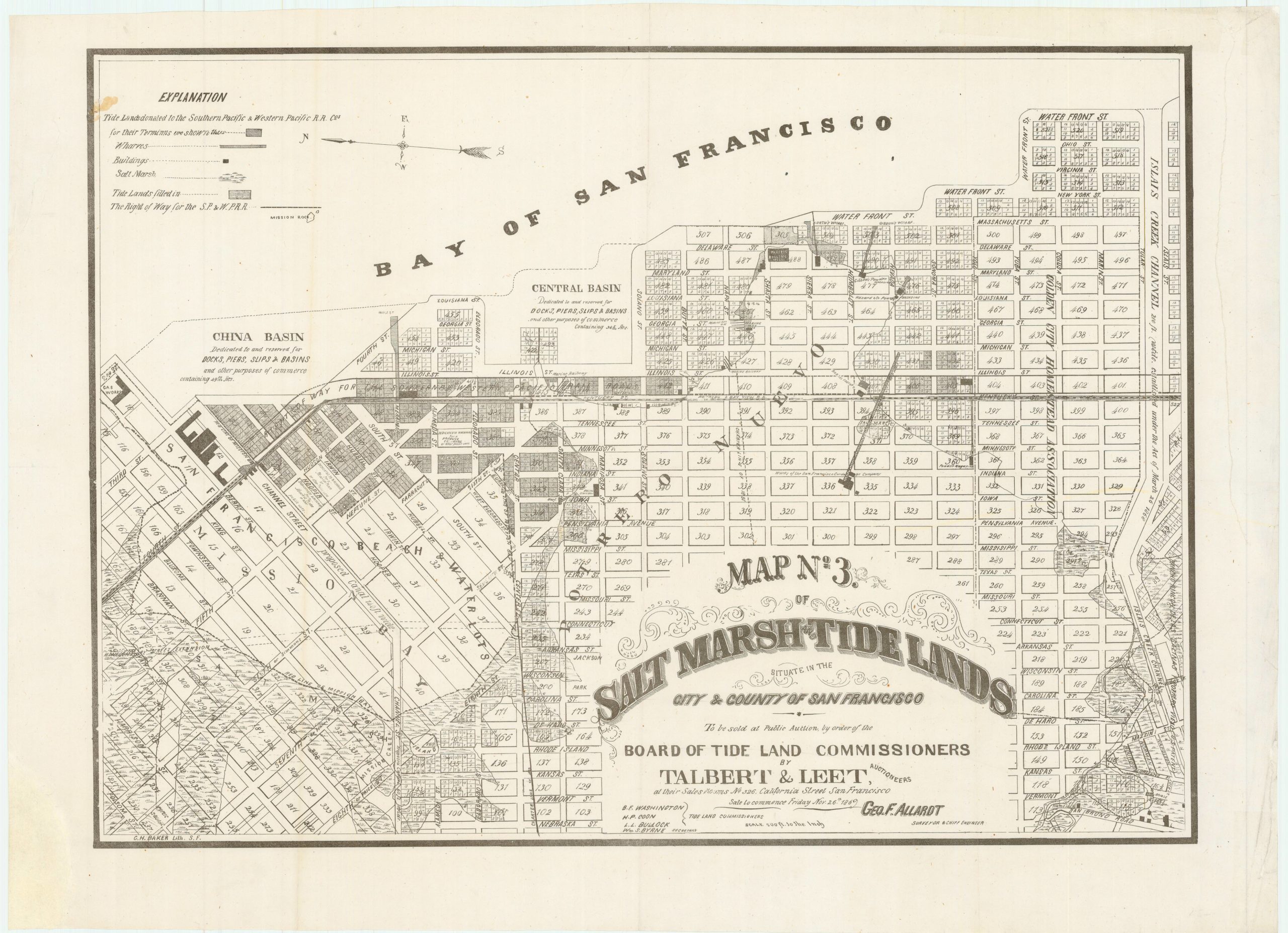
Map no. 3. Salt marsh and tide lands situate in the city and county of San Francisco. To be sold at public auction by order of the Board of Tide Land Commissioners by Talbert & Leet, auctioneers, at their sales rooms no. 526 California Street, San Francisco. Sale to commence Friday Nov. 26th, 1869.
- $3,400
- Rare cadastral and Southern Pacific Railroad right-of-way tidal lands map of Mission Bay.
-
Add to cart
-
-
Add to cartQuick View
- Bay Area & Silicon Valley, San Francisco
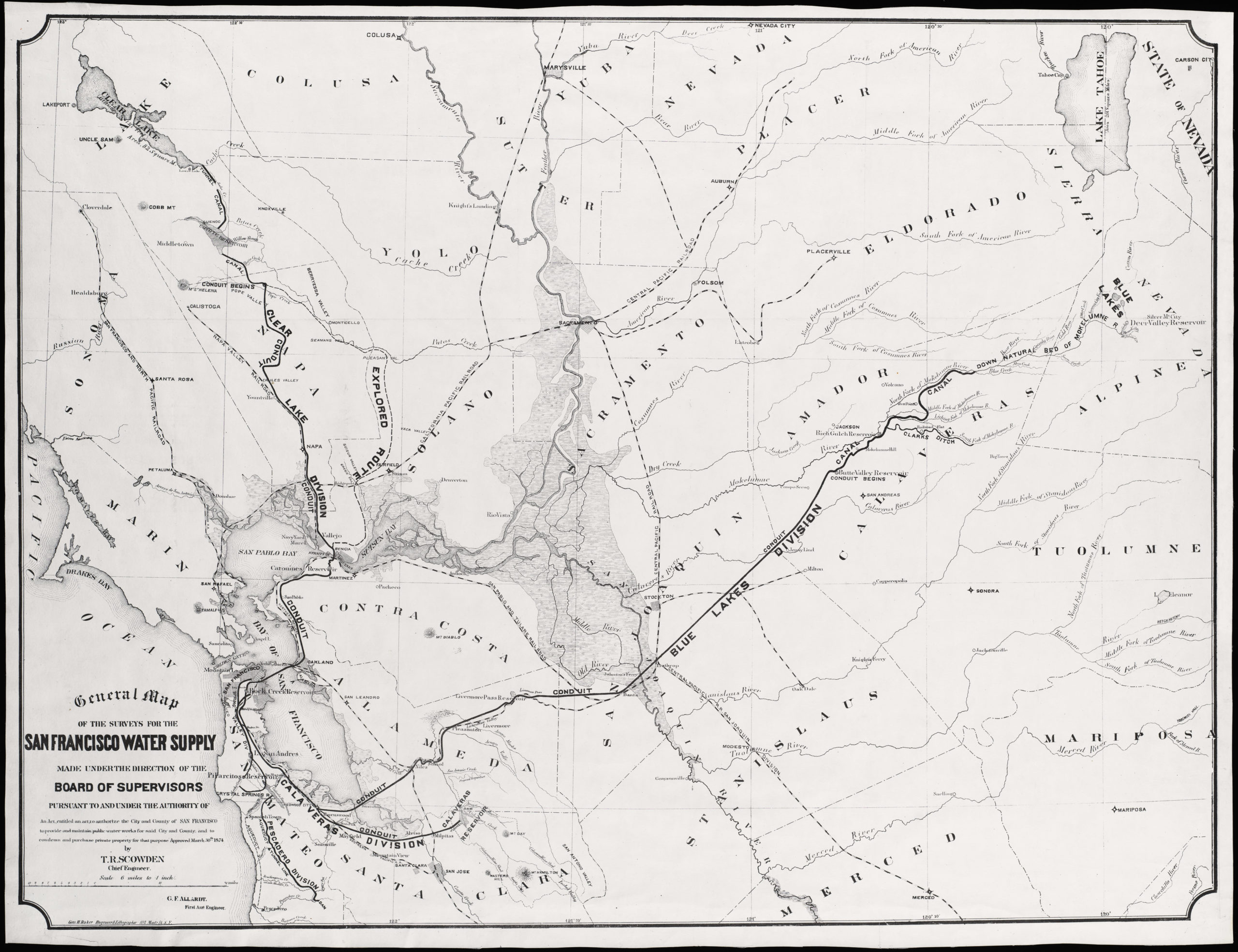
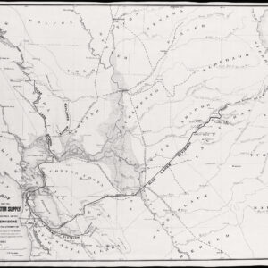
General Map of the Surveys for the San Francisco Water Supply made under the direction of the Board of Supervisors…
- $600
- Large, impressive San Francisco water supply system map.
-
Add to cart
Archived
- Out of Stock
- Bay Area & Silicon Valley, San Francisco
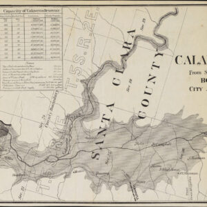
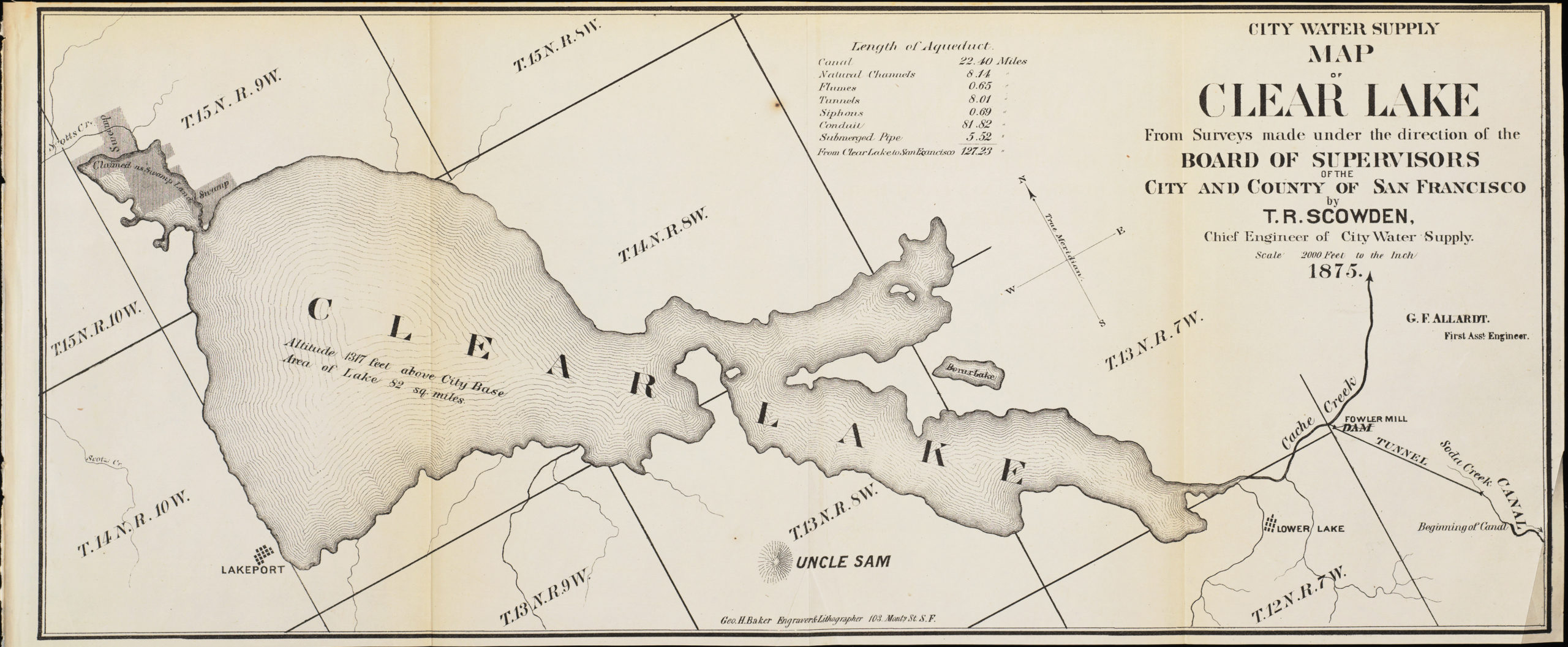
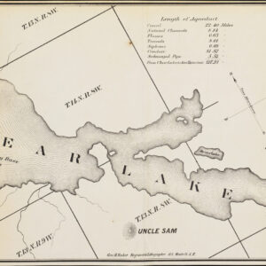
4 San Francisco water supply maps
- Four 1875 city water supply maps for San Francisco, engraved by the famous George Baker.
- Read moreQuick View
-
- Out of Stock
- Marin, Sonoma, & Napa Valley
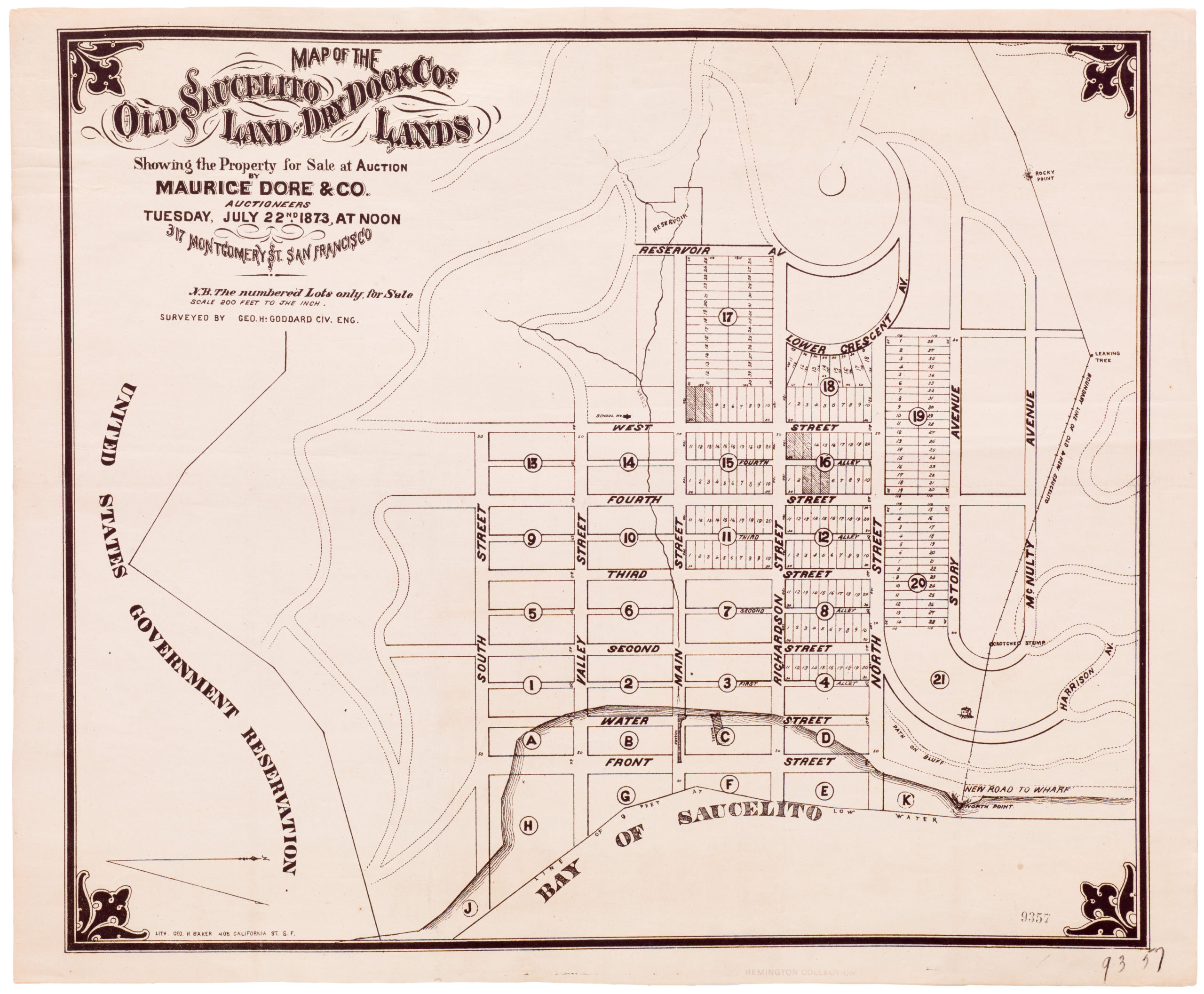
Map of the Old Saucelito Land and Dry Dock Co.’s Lands Showing the Property for Sale at Auction By Maurice Dore & Co. Auctioneers Tuesday July 22nd 1873
- Rare 1873 Sausalito property map with old town spelling.
- Read moreQuick View
-

