Colton & Co: The Colton mapmaking company was founded by Joseph Hutchins Colton in 1831. A native son of Massachusetts, Colton set up his firm in the metropolis of New York, drawing at first on established cartographers and engravers (e.g. David H. Burr and Samuel Stiles) to license maps. By the 1840s, however, the Colton firm was producing its own maps. They produced anything the market desired, from massive and impressive wall-maps to pockets guides, folding maps, immigrant guides, and atlases. One of the things that set the Colton company aside from many of its contemporaries in terms of quality, was the insistence that only steel plate engravings be used for Colton maps. These created much more well-defined print lines, allowing even minute features and labels to stand out clearly.
In the 1850s Colton’s two sons, George Woolworth and Charles B., were brought on board to the firm. This inaugurated a process of expansion in which the company began taking international commissions and producing wholly independent maps and charts.
Archived
- Out of Stock


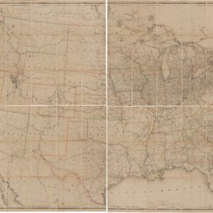
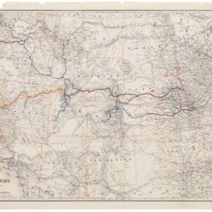
- United States
Colton’s Intermediate Railroad Map of the United States.
- The quintessential Colton railroad map of America.
- Read moreQuick View
-
- Out of Stock
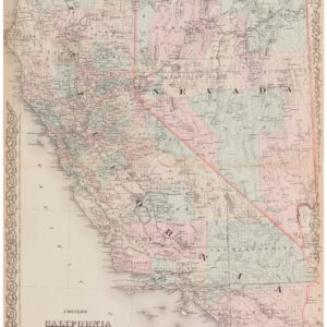
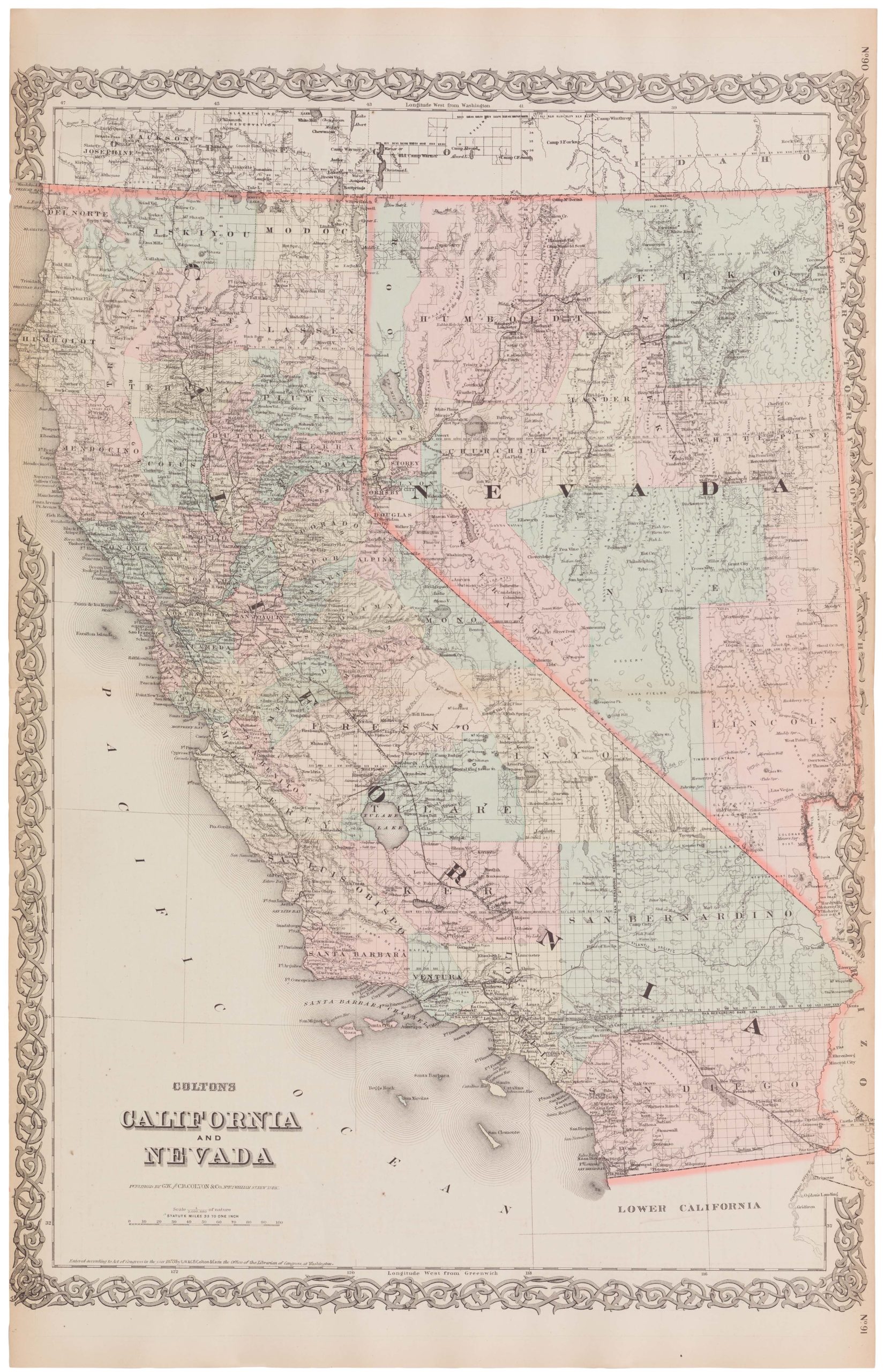
- California
Colton’s California and Nevada
- 1873 Colton California and Nevada with extended San Bernadino County
- Read moreQuick View
-
- Out of Stock
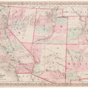
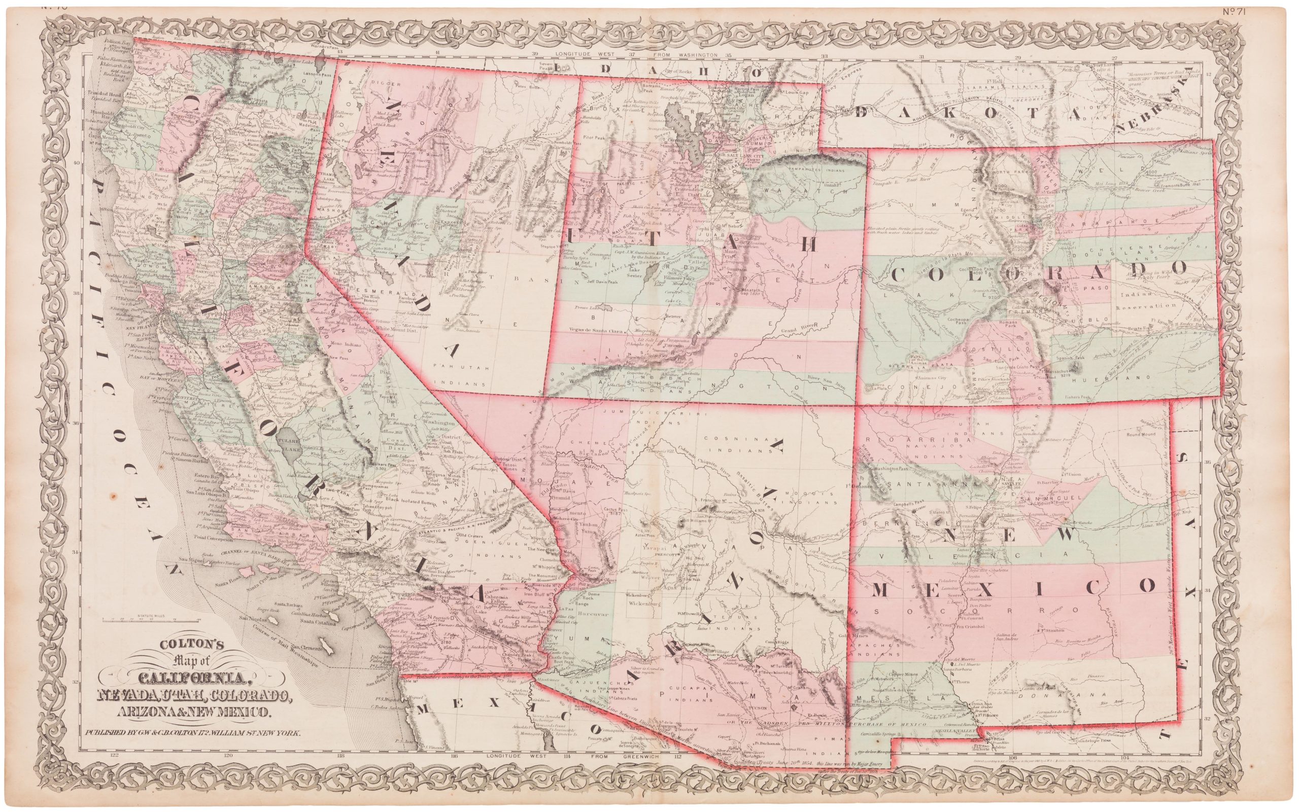
- California, Texas and The West
Colton’s Map of California, Nevada, Utah, Colorado, Arizona & New Mexico
- 1863 Colton map of the Southwest with earliest Nevada-Arizona border.
- Read moreQuick View
-
- Out of Stock
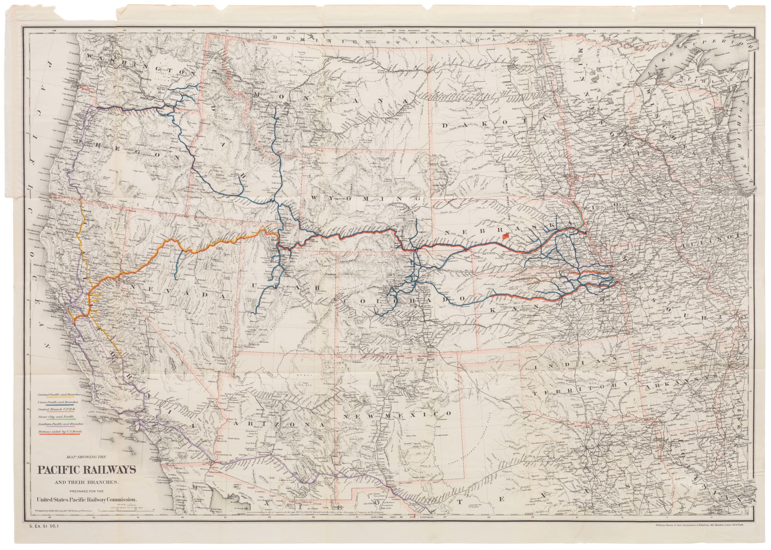
- United States
Map Showing The Pacific Railways and Their Branches. Prepared for the United States Pacific Railway Commission
- Detailed 1887 Colton railroad map with color-coded routes
- Read moreQuick View
-