Gerardus Mercator (March 1512 – 2 December 1594) was a 16th-century geographer, cosmographer, and cartographer from the County of Flanders. He is most renowned for creating the 1569 world map based on a new projection that represented sailing courses of constant bearing (rhumb lines) as straight lines—an innovation that is still employed in nautical charts.
Mercator was one of the pioneers of cartography and is widely considered the most notable figure of the Netherlandish school of cartography in its golden age (approximately 1570s–1670s). In his own day, he was notable as a maker of globes and scientific instruments. In addition, he had interests in theology, philosophy, history, mathematics, and geomagnetism. He was also an accomplished engraver and calligrapher.
-
-
Add to cartQuick View
- Polar - Arctic
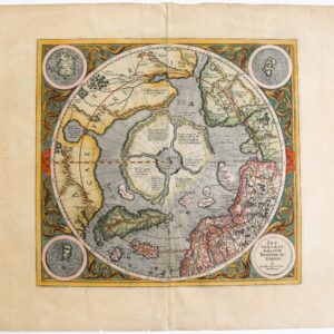
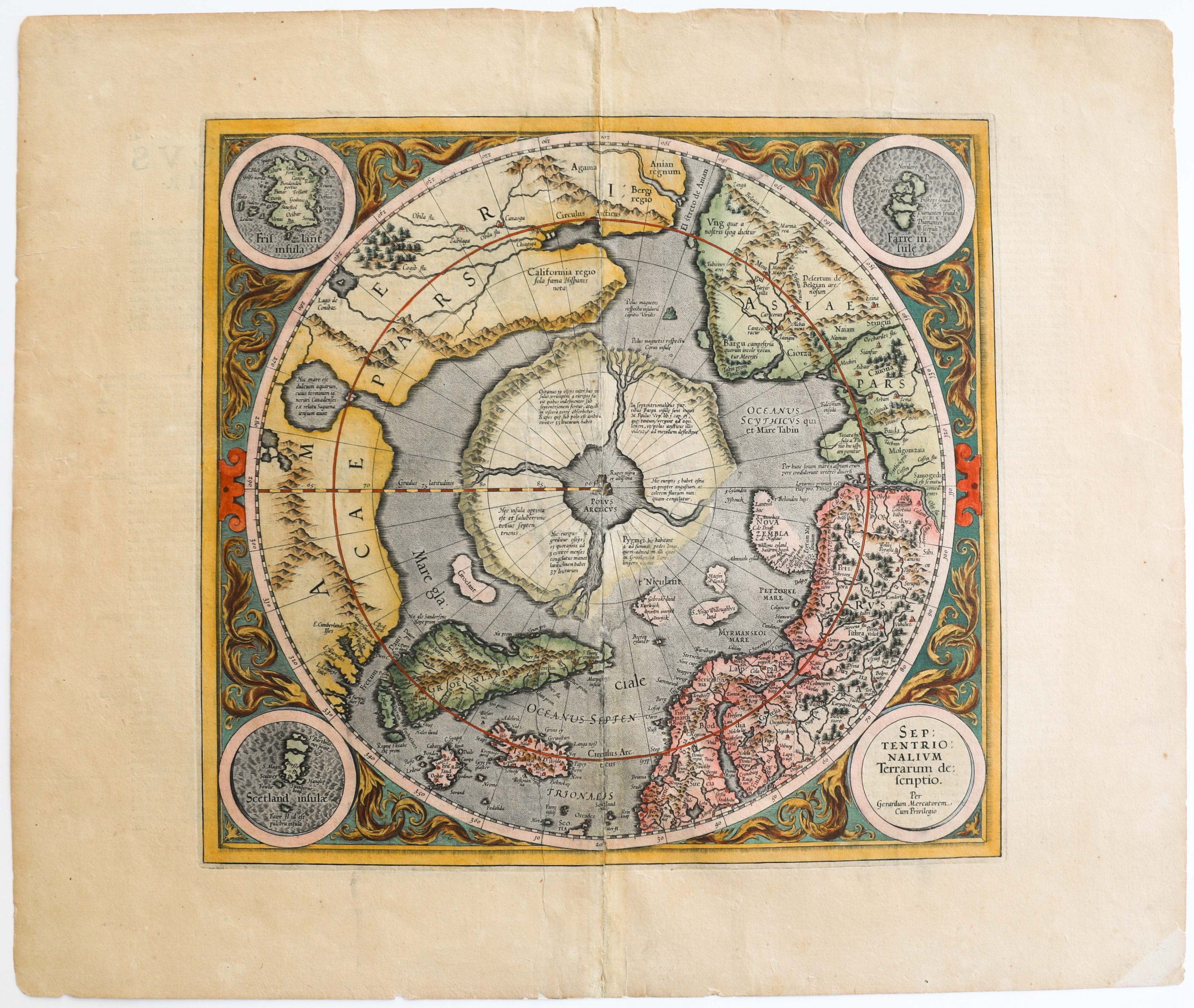
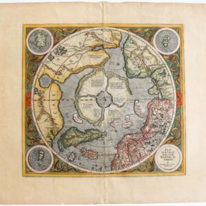
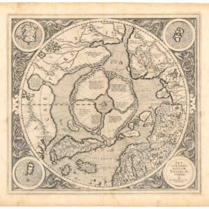
Septentrionalium Terrarum descriptio.
- $30,000
- History’s first dedicated map of the North Pole.
-
Add to cart
Archived
- Out of Stock
- Polar - Arctic
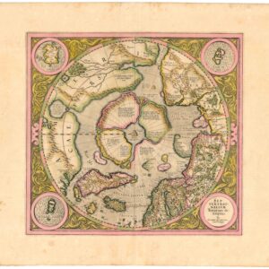
Septentrionalium Terrarum descriptio.
- A superb original color example of Mercator's famed map of the North Pole.
- Read moreQuick View
-
- Out of Stock
- Cuba, West Indies, Caribbean
Cuba Insula [with] Hispaniola Insula [with] Insula Jamaica [with] Ins. S. Ioannis [with] I.S. Margareta Cum Confiniis
- Rare English edition of the Mercator-Hondius map of Carribean islands, including an inset of Havana.
- Read moreQuick View
-
- Out of Stock
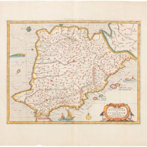
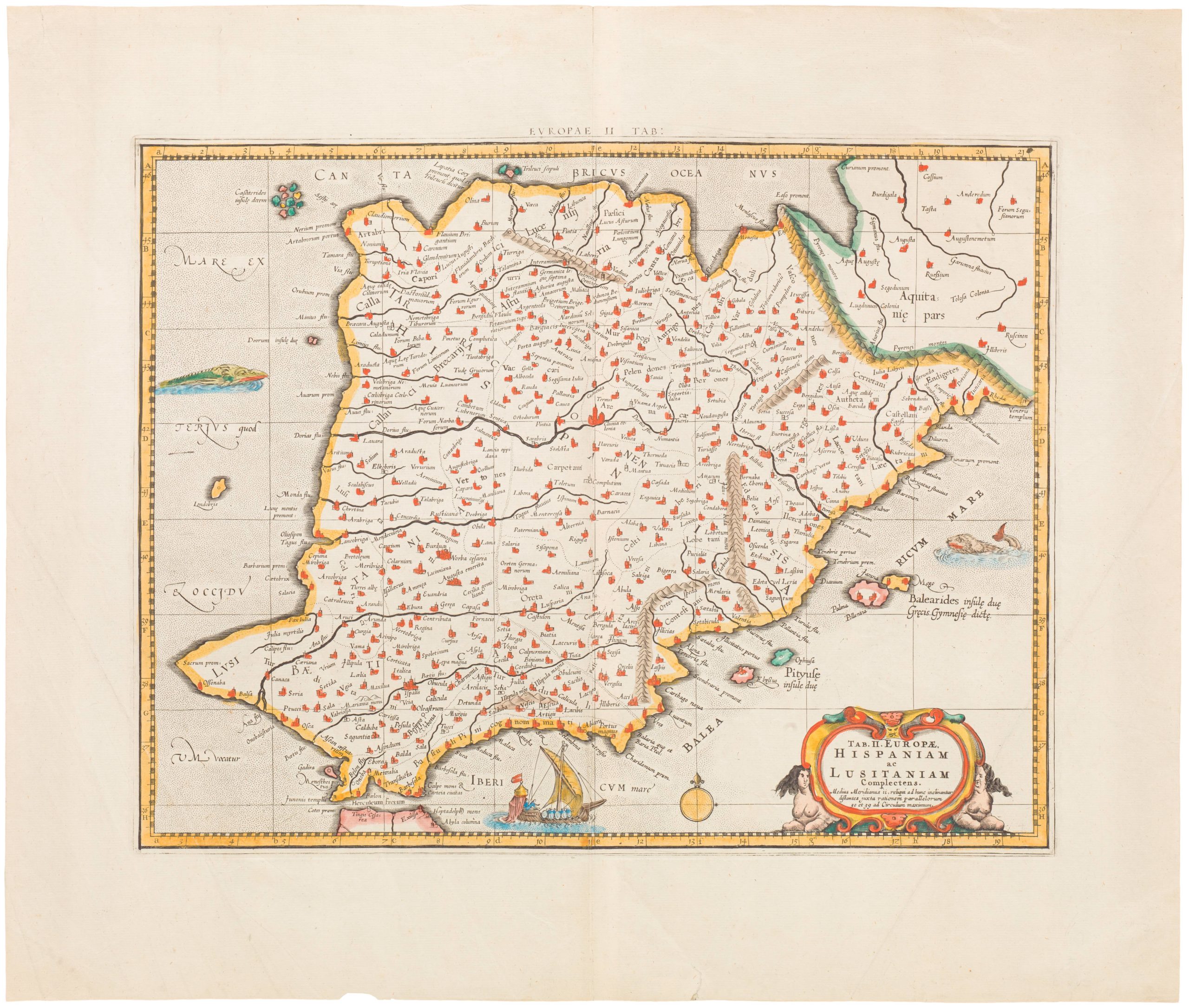
- Spain & Portugal
Tab. II. Europae, Hispaniam ac Lusitaniam Complectens
- Attractive mid-18th century map of the Iberian Peninsula
- Read moreQuick View
-
- Out of Stock
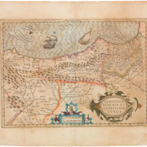
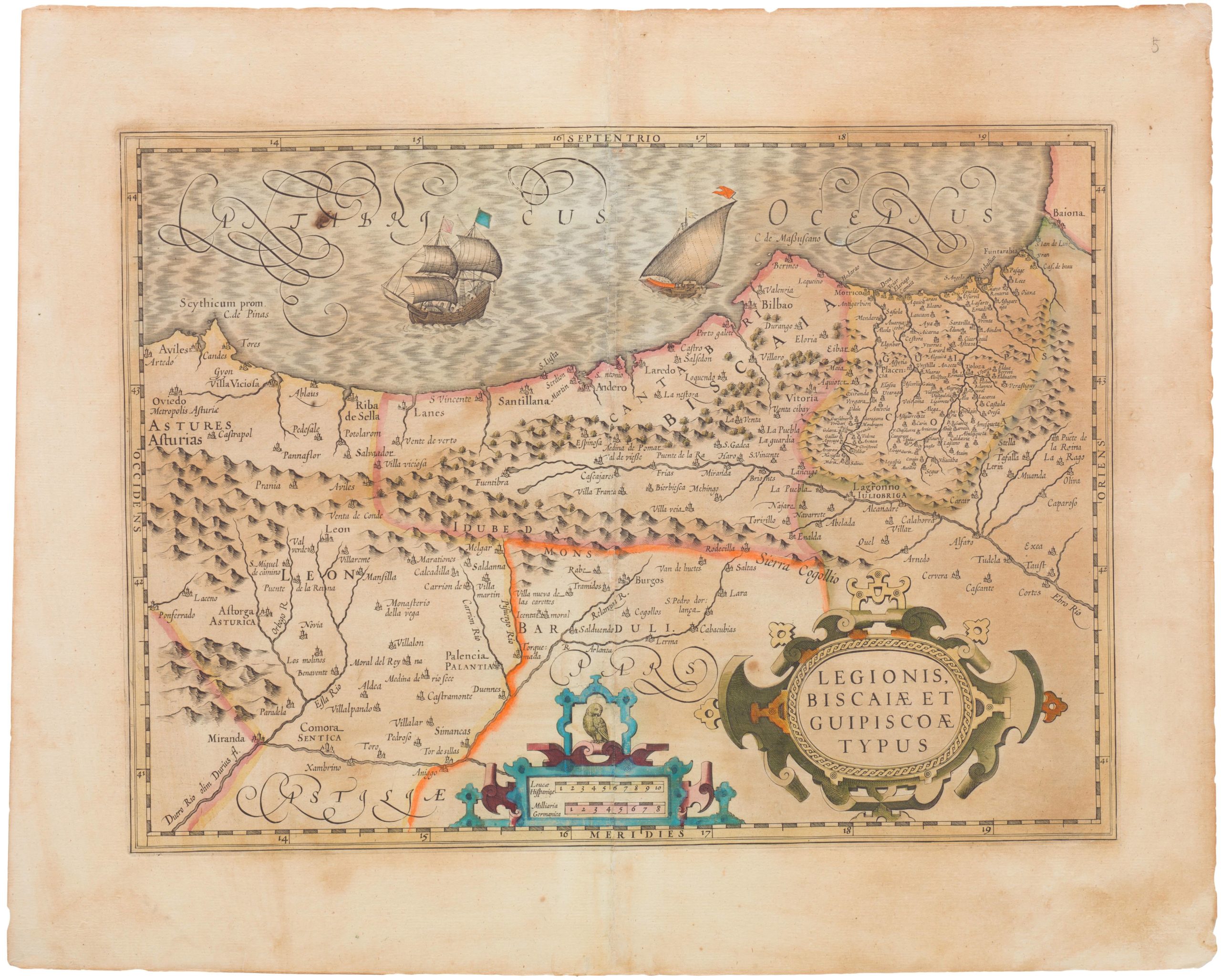
- Spain & Portugal
Legionis, Biscaiae et Guipiscoae Typus
- Old color 1630 Mercator & Hondius map of the Basque region
- Read moreQuick View
-
- Out of Stock
- Asia
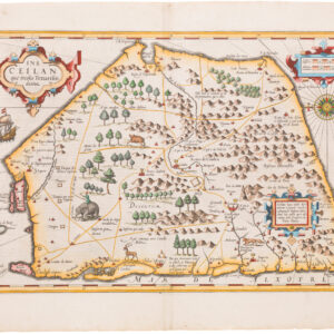
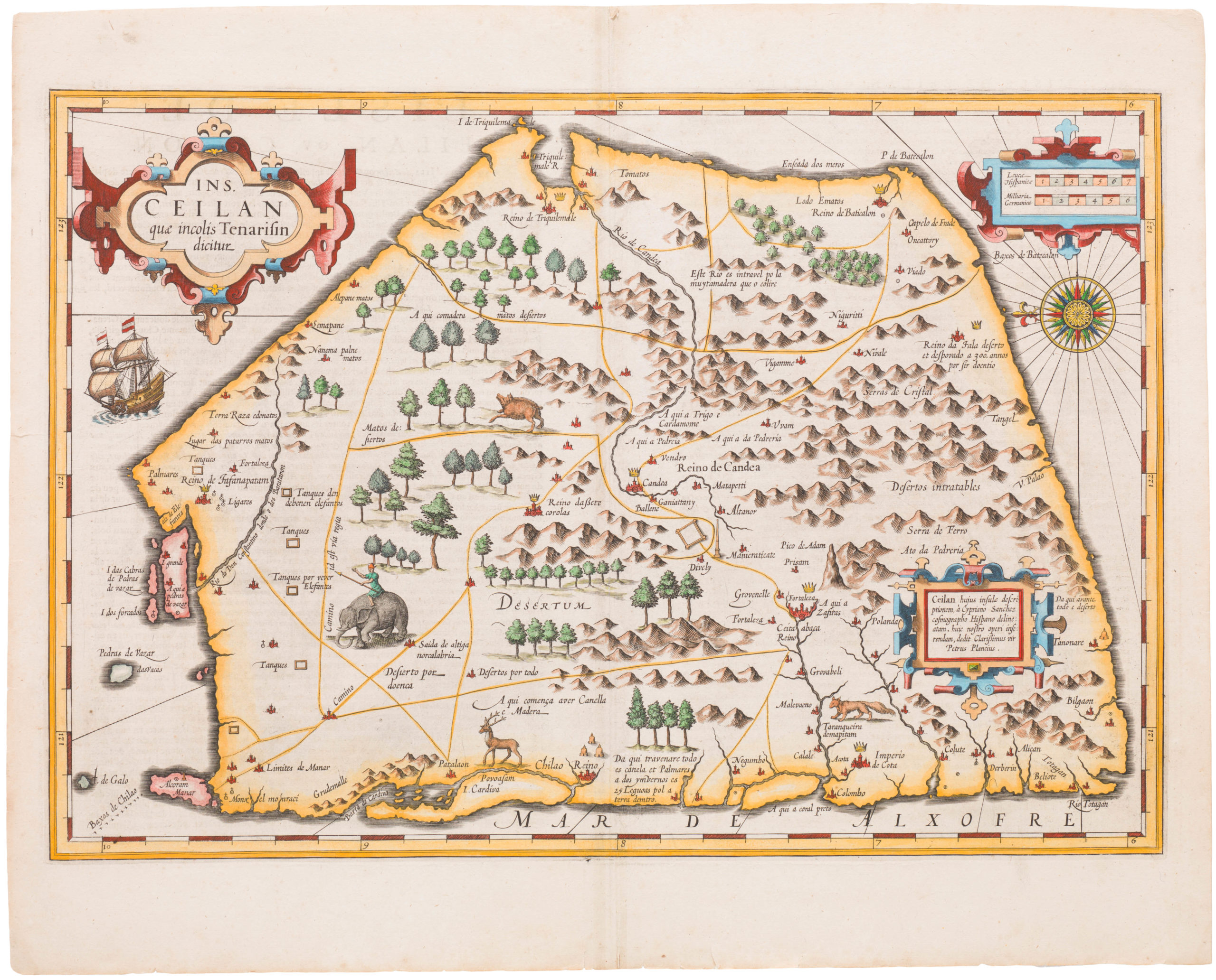
Ins. Ceilan que incolis Tenarisin dictur
- Mercator & Hondius's striking 1609 map of Ceylon
- Read moreQuick View
-
- Out of Stock
- Polar - Arctic
SEPTENTRIONALIUM Terrarum descriptio. Per Gerardum Mercatore
- 1623 map North Pole heightened in gold and filled with cartographic myths.
- Read moreQuick View
-
- Out of Stock
- Iceland & Scandinavia
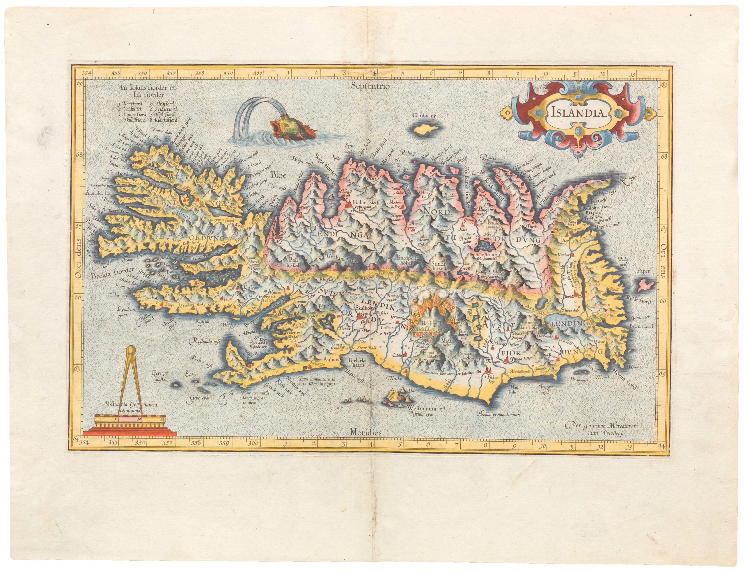
Islandia
- Mercator's Islandia.
- Read moreQuick View
-
![Cuba Insula [with] Hispaniola Insula [with] Insula Jamaica [with] Ins. S. Ioannis [with] I.S. Margareta Cum Confiniis](https://neatlinemaps.com/wp-content/uploads/2019/09/NL-00611_thumbnail-300x300.jpg)
