Henry Roberts (1756–1796) was a notable officer in the Royal Navy, best remembered for his close association with the legendary British explorer, Captain James Cook.
Roberts embarked on Cook’s last two epic voyages of exploration, boarding the HMS ‘Resolution’ from 1776 to 1780. Throughout these journeys, Roberts played an instrumental role in mapping and charting previously uncharted territories.
Following the tragic death of Captain Cook in Hawaii in 1779, Roberts took on the significant task of preparing the official account of the expedition. His cartographic expertise culminated in the creation of numerous maps and charts, which not only were invaluable records of their explorations but also advanced European understanding of the Pacific domain.
Roberts climbed the naval ranks and eventually helmed his own command. His contributions extended to the early planning phases for the First Fleet’s expedition to Botany Bay, a foundational step towards the establishment of the inaugural European colony in Australia.
-
-
Add to cartQuick View
- Featured Maps & Views, Pacific Northwest - Hawaii - Alaska
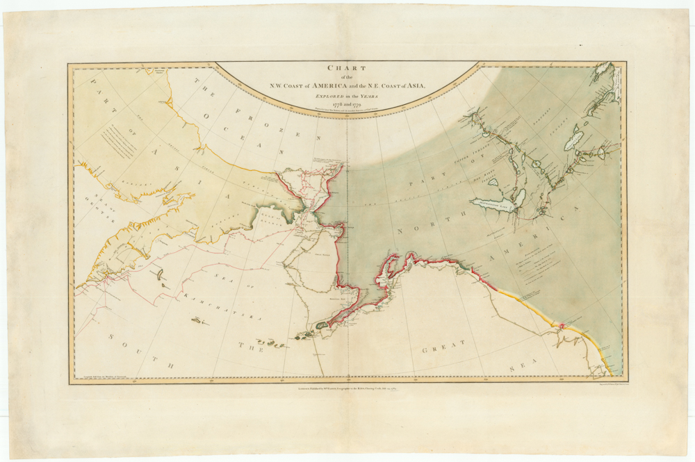
Chart of the N. W. Coast of America and the N. E. Coast of Asia, Explored in the Years 1778 and 1779. Prepared by Lieut’t Henry Roberts, under the immediate Inspection of Capt. Cook.
- $8,500
- The "Legendary lost chart of Captain Cook" - Rare first edition.
-
Add to cart
Archived
- Out of Stock
- World
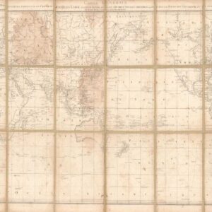
Carte Generale offrant les decouvertes faites par le Capitaine Jacques Cook dans ce voyage et dans les deux voyages precedens…
- French edition of Henry Robert's important world map on Mercator's projection, highlighting the discoveries of Cook's voyages.
- Read moreQuick View
-


