Joao Teixeira Albernaz I/the Elder (late 16th century – c.1662) spent his life in service of the Portuguese crown, the naval super power of the age. He was one of the most accomplished and prolific mapmakers of the 17th century. As part of a long line of cartographers that supplied the Portuguese court with charts from the mid 16th century until the late 18th century, Teixeira was initiated in the art of mapmaking by his father, Luis Teixeira, who himself was a renowned cartographer (e.g. he contributed one of the earliest maps of Japan to Abraham Ortellius’ famous atlas Theatrum Orbis Terrarum).
The young Joao would soon enter into formal apprenticeships with the finest cartographic institutions, and in 1602 he was examined by the Royal Cosmographer Joao Batista Lavanha, attaining the formal title of ‘Master of nautical charts, astrolabes, compass needles and cross staff’. Three years later, he was appointed cartographer to the Casa da India (India House); a state-run organization that regulated international trade and administered the Portuguese colonies.
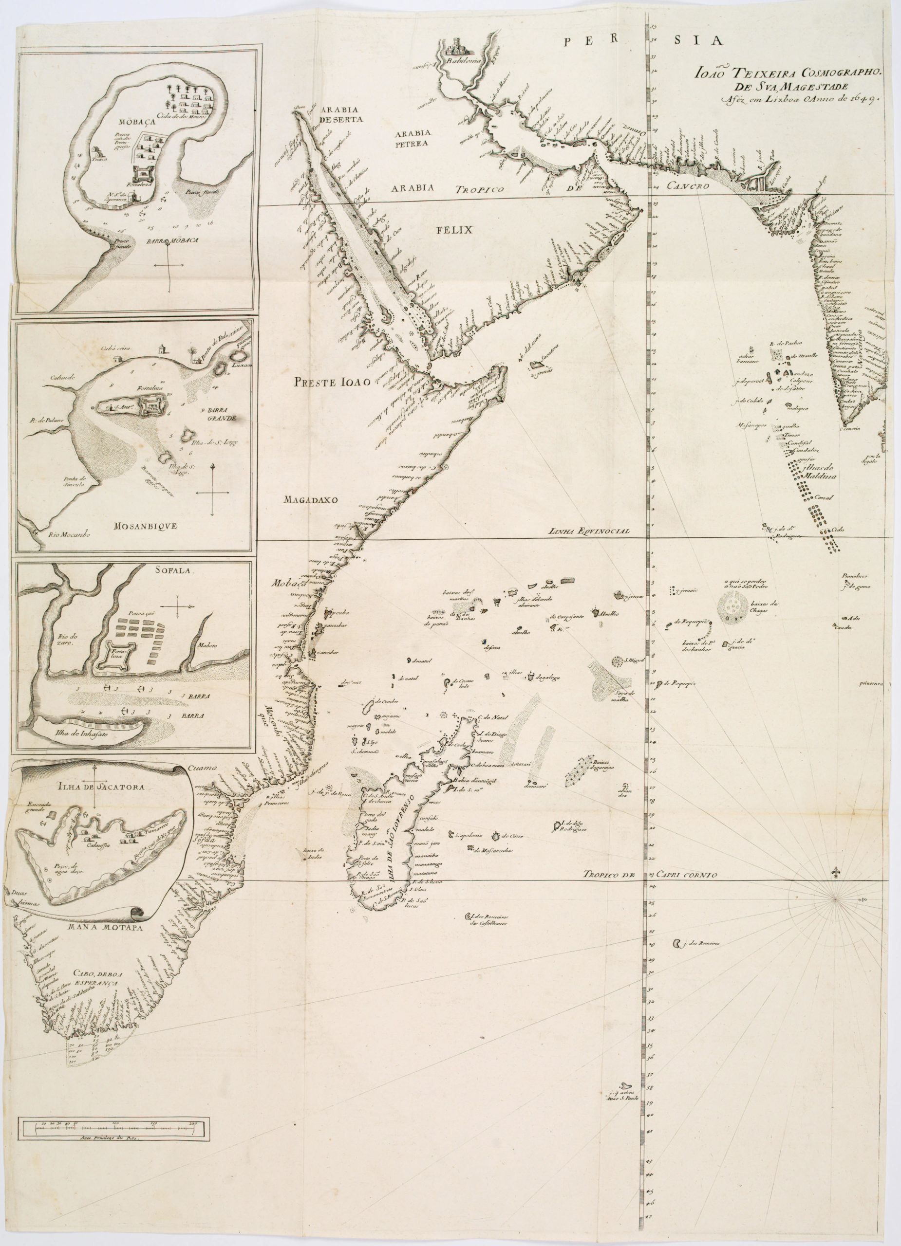
Joao worked closely together with his brother Pedro Teixeira for extended periods, including at the Spanish court in Madrid. Among the famous maps they produced together was a detailed chart of The Straits of Magellan from 1621. Joao Teixeira nevertheless focused most of his efforts on regions in which Portugal had direct political or mercantile interests. And so, areas such as Brazil and Indonesia stand out in his oeuvre. But in many ways these two colonies lay at either end of the axis of Portuguese interests, as this chart amply demonstrates.
Joao Teixeira was indubitably one of the most talented and productive Portuguese mapmakers of the 17th century. During his career, he produced at least 215 charts, many of which were compiled into exquisite atlases. His patrons were the elites of society, usually the royal courts of Portugal and Spain, but his work is far more than artistic rendition.
Joao Teixeira Albernaz and his family operated at a pivotal time in history. The bold drive into the unknown that characterized the 16th and 17th centuries, produced a prodigious wealth of new information on the world, and nowhere did this crystalize more clearly than in the cartographic visualizations of the age.
-
-
Add to cartQuick View
- Africa, Arabia and the Red Sea, Asia
João Teixeira Cosmographo. De sua, Magestade. Aféz em Lixboa o Anno de 1649
- $4,200
- Rare 17th century portolan-style chart designed for use aboard Portuguese merchant vessels.
-
Add to cart

