In 1861, John Bachelder, a former military officer, artist and military historian, was struggling to find sources for a historical depiction of the Battle of Bunker Hill. When the American Civil War broke out, he abandoned the project to follow the Union Army of the Potomac to document their campaigns. When he heard of the great battle taking place at Gettysburg, PA, he made his way there, arriving before the last of the dead were buried. Recognizing its importance, Bachelder thereafter made a life’s work of documenting the battle.
Bachelder exhaustively documented the battle through interviews with its participants, and it was he who initially conceived of the phrase, “the high water mark of the Confederacy,’ identifying the brief push by Confederate forces during Gen. Longstreet’s Day 3 assault (Pickett’s Charge) into Union lines at a place called “The Angle” as the South’s best, and last, chance to defeat the Union. Bachelder’s records and depictions of the battle are without comparison and remain historically and artistically significant.
-
-
Add to cartQuick View
- East & Midwest United States, United States
Gettysburg. Repulse of Longstreet’s Assault.
- $1,200
- Bachelder’s magnificent rendering of Longstreet’s Assault (Pickett's Charge).
-
Add to cart
-
-
Add to cartQuick View
- East & Midwest United States, Featured Maps & Views, United States
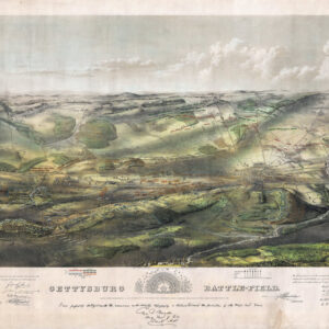
Gettysburg Battle-Field.
- $3,500
- Bachelder's iconic 1863 view of the Battle of Gettysburg.
-
Add to cart
Archived
- Out of Stock
- East & Midwest United States, United States
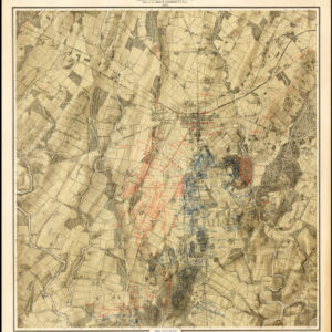
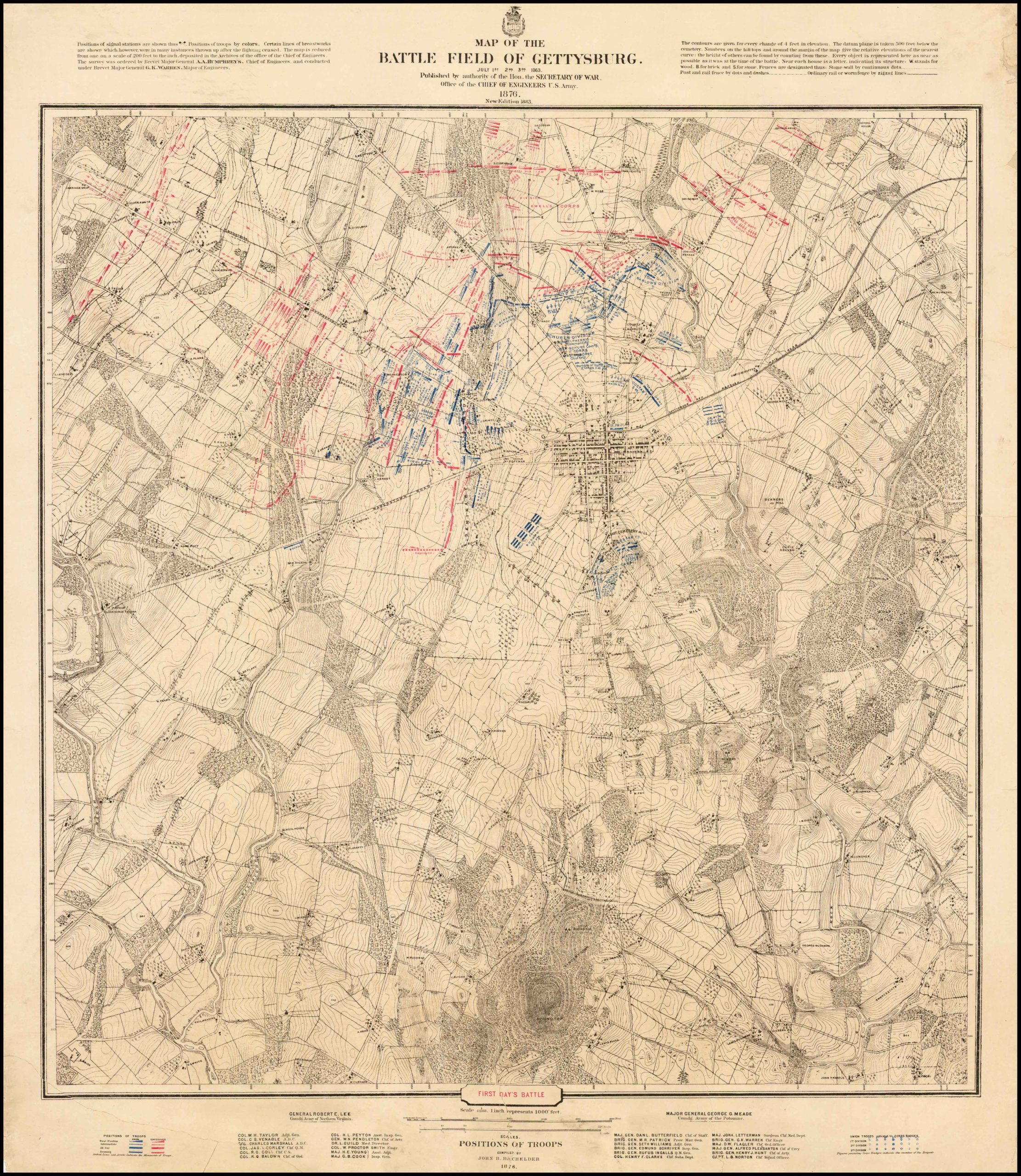
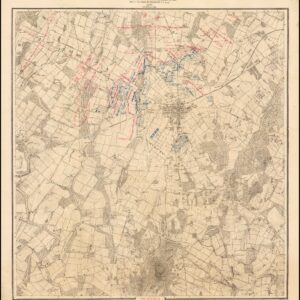
Map of the Battle Field of Gettysburg. July 1st, 2nd, 3rd
- Bachelder’s authoritative three-part map of the Gettysburg battlefield.
- Read moreQuick View
-


