Philip & Solomons was a printing and publishing company with a specialization in Army-related products. Located in Washington D.C. at 332 Pennsylvania Avenue, between 9th and 10th St., they were known for selling all kinds of military books, maps, Field Order books, Roll books, Army Pay Tables, and US Coastal Survey Maps.
-
-
Add to cartQuick View
- East & Midwest United States
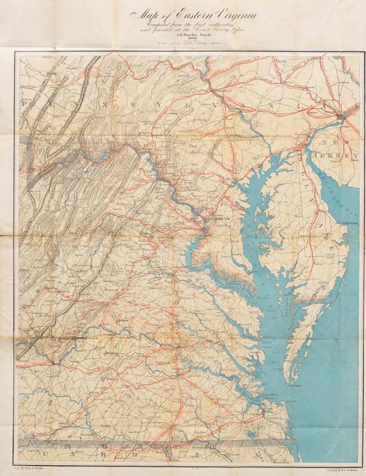
Map of Eastern Virginia Compiled from the best authorities and printed at the Coast Survey Office, A.D. Bache, Supdt. 1862.
- $1,700
- Alexander Bache’s Map of Eastern Virginia: a Union map of Washington’s Confederate backyard.
-
Add to cart

