Pietro Vesconte (died ca.1330) was an early 14th-century Genoese cartographer and a pioneer in creating accurate nautical charts. His maps, including those for Marino Sanudo’s manuscripts, were among the earliest to accurately depict the Mediterranean and Black Sea regions.
-
-
Add to cartQuick View
- Eastern Mediterranean - Holy Land, Middle East - Holy Land Maps
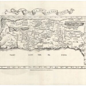
Tabula Terre Sanctae.
- $1,900
- Fries' 1535 map of the Holy Land, based on the unobtainable Vesconte manuscript Crusade map.
-
Add to cart
