Robert Sayer (1725–1794) was a leading publisher and seller of prints, maps, and maritime charts in Georgian Britain. He was based near Fleet Street in London. This was a business he had taken over from his brother in 1748 after he had won it by marrying the widowed daughter-in-law of another famous London map seller, John Overton.
After taking on his servant John Bennett as an apprentice in 1765, and later partnering up with him, the firm of Sayer and Bennett became one of the most important map houses of late 18th century Britain. From then on, the Sayer & Bennett firm was particularly well-known for their maps and atlases focusing on the Americas during a time of great upheaval and change (i.e. the French and Indian War, and especially the American Revolution).
In the beginning, many of these publications would have an obvious British slant, but as things progressed, Sayer increasingly realized the potential in creating reliable maps of an independent North America. Consequently, Sayer & Bennett produced some of the most significant charts and atlases of the British colonial possessions in America and later of the early United States.
-
-
Add to cartQuick View
- Americas, North America, Pacific Northwest - Hawaii - Alaska, United States
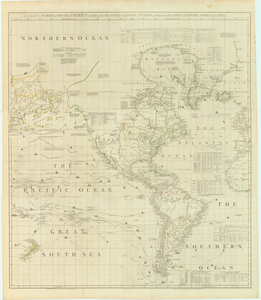
A Chart of North and South America, Including the Atlantic and Pacific Oceans, with the nearest Coasts of Europe, Africa, and Asia
- $4,200
- Sayer-Bennet-Mead's 1775 chart of the Western Hemisphere with Pacific and Arctic routes of exploration.
-
Add to cart
Archived
- Out of Stock
- North America
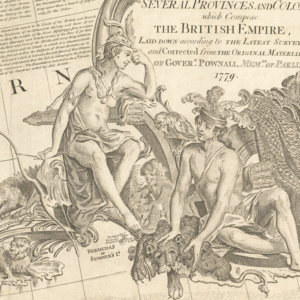
A New and Correct Map of North America, with the West India Islands. Divided According to the Last Treaty of Peace…1779.
- Sayer and Bennet’s monumental chart of North America in revolt.
- Read moreQuick View
-
- Out of Stock
- Spain & Portugal
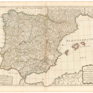
A New Map of the Kingdoms of Spain and Portugal with Their Principal Divisons…1790
- A fine late 18th century map of Spain & Portugal, published by one of the most famous London printing houses of the era.
- Read moreQuick View
-


