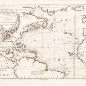
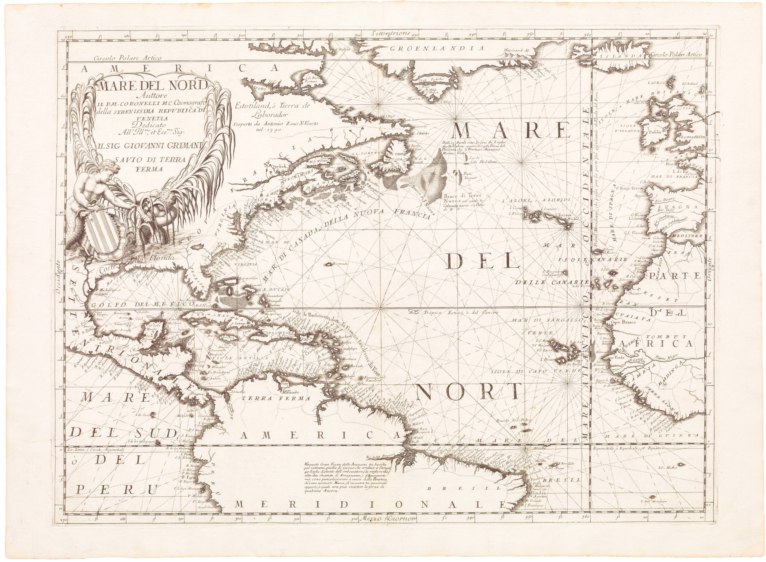
Vincenzo Maria Coronelli (1650 – 1718) was a Franciscan printer, cartographer, and globe-maker from Venice. Due to his religious background, many of his charts have been signed P. Coronelli, meaning Père or ‘Father’, and referring to his status as a friar of the Franciscan Order. He was appointed official cosmographer for the city of Venice and was later employed as royal cartographer to the King of France. In particular the latter position meant that he had access to the latest records and materials from French pioneers and voyages of exploration. This caused many of his charts to be cutting-edge innovations that redefined the newly discovered parts of the world in an entirely novel fashion. It also meant that Coronelli would have no scruples in declaring uncontested or virgin land in the New World as part of Nouvelle France. This is exemplified in Coronelli’s celebrated 1685 chart of Western Canada or Nouvelle France, in which the official French territories have been expanded thousands of miles to the west and south, so that most of the Midwest, including the Mississippi Valley, has been subsumed under a French claim.
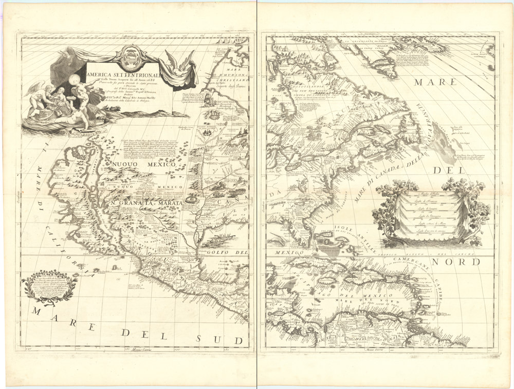
Coronelli’s access to the latest French sources and intelligence is part of what has made his maps so cartographically decisive and collectible. An example of this is found in his 1688 chart of upper Mexico and the Rio Grande (modern Arizona, California, and parts of New Mexico). This map was, at the time of its publication, one of the most detailed and accurate maps of the Rio Grande on the market. The detailed information conveyed in Coronelli’s map came directly from Diego Penalosa, the Spanish governor of New Mexico (1661-63) who turned rogue and provided the French King with a wealth of strategic geographical information. His ambition was to lure the French into attacking New Mexico from the neighboring territory of Louisiana. Despite the controversial source of his information (or perhaps precisely because of it), Coronelli does not hesitate to lay credit where credit is due, and mentions Penalosa directly in the map’s cartouche.
-
-
Add to cartQuick View
- Celestial charts
Planisfero Meridionale, Corretto, et Accresciuto di Molte Stelle & Planisfero Settentrionale, Corretto, et Accresciuto di Molte Stelle.
- $4,800
- Coronelli’s Paired Celestial Planispheres: a new take on the heavens - in stunning color.
-
Add to cart
-
-
Add to cartQuick View
- Celestial charts
Planisferii Celesti, Calcolati per l’anno MDCC, Corretti, et Aumentati di Molte Stelle.
- $1,600
- Coronelli’s schematic representation of the heavens on a single sheet.
-
Add to cart
-
-
Add to cartQuick View
- Americas, North America
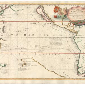
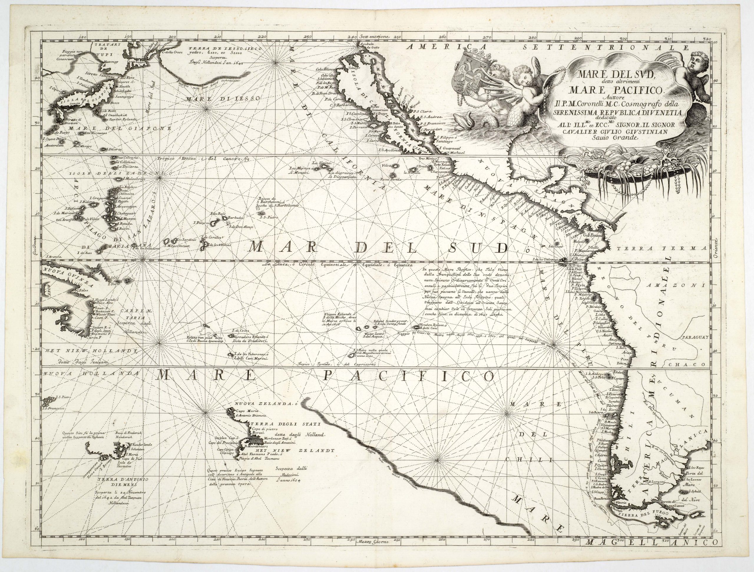
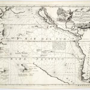
Mare Del Sud detto altrimenti Mare Pacifico.
- $2,500
- An excellent example of Coronelli's Pacific Ocean with California as an Island.
-
Add to cart
-
-
Add to cartQuick View
- Americas, Cuba, West Indies, Caribbean, East & Midwest United States, North America
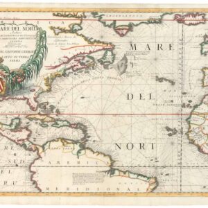
Mare del Nord.
- $2,200
- A gorgeous full-color example of Coronelli's chart of the Eastern Seaboard and North Atlantic.
-
Add to cart
-
-
Add to cartQuick View
- Asia
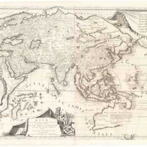
Asia Divisa nelle sue Parti secondo lo stato presente.
- $4,400
- Perhaps the greatest 17th century atlas map of Asia.
-
Add to cart
-
-
Add to cartQuick View
- World
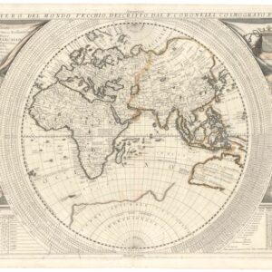
Planisfero Del Mondo Vecchio, Descritto Dal P. Coronelli, Cosmographo Publico.
- $2,200
- Coronelli’s masterful planisphere of the Old World with touches of original color.
-
Add to cart
-
-
Add to cartQuick View
- Africa
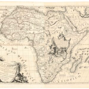
L’Africa Divisa nelle sue Parti secondo le piu moderne relationi colle scoperte dell’ Origine, e corso del Nilo.
- $3,200
- Coronelli’s majestic double-sheet map of Africa.
-
Add to cart
Archived
- Out of Stock
- Celestial charts
Idea dell’Universo [2 Sheet Cosmographical Chart].
- Coronelli’s spectacular schematization of the Universe.
- Read moreQuick View
-
- Out of Stock
- Americas, California, Mexico - Central & South America, North America
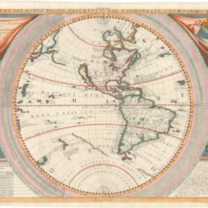
Planisfero Del Mondo Nuovo, Descritto Dal P. Coronelli, Cosmographo Publico.
- Stunning, full-color Coronelli map of the New World with California as an Island.
- Read moreQuick View
-
- Out of Stock
- Americas, Mexico - Central & South America
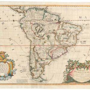
America Meridionale Auttore Il P.M. Coronelli M.C. Cosmografo dell Serenssima Repub. di Venetia.
- One of the 17th century’s most stunning and detailed depictions of South America.
- Read moreQuick View
-
- Out of Stock
- Americas, North America
Mare Del Sud detto altrimenti Mare Pacifico.
- Splendid 1691 map of the Pacific Ocean with speculative geography and California as an island.
- Read moreQuick View
-
- Out of Stock
- Europe
Ristretto del Mediterraneo…[with] Parte Orientale del Mediterraneo…
- Coronelli’s decorative Mediterranean Sea.
- Read moreQuick View
-
- Out of Stock
- Europe
Parte Occidentale Dell’Europa & Parte Orientale Dell’Europa.
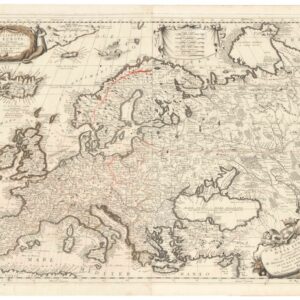
- Coronelli’s spectacular double-sheet of Europe.
- Read moreQuick View
-
- Out of Stock
- Americas, North America, Texas and The West, United States
AMERICA SETTENTRIONALE Colle Nuove Scoperte fin all’Anno 1688…
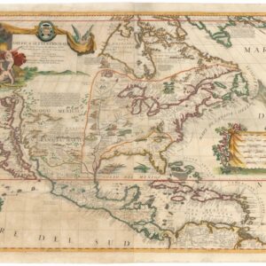
- A beautiful hand-colored example of Coronelli’s ground-breaking 1688 map of North America.
- Read moreQuick View
-
- Out of Stock
- North America
AMERICA SETTENTRIONALE Colle Nuove Scoperte fin all’Anno 1688…
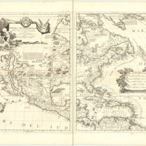
- Coronelli’s decisive 1688 map of the North American continent depicting California as an Island.
- Read moreQuick View
-
- Out of Stock
- Cuba, West Indies, Caribbean, East & Midwest United States, North America
Mare del Nord
- Late 17th century chart of the Eastern Seaboard and North Atlantic, by the "King’s cartographer"
- Read moreQuick View
-
![Idea dell’Universo [2 Sheet Cosmographical Chart].](https://neatlinemaps.com/wp-content/uploads/2025/06/NL-02385-composite_thumbnail-300x300.jpg)

![Ristretto del Mediterraneo…[with] Parte Orientale del Mediterraneo…](https://neatlinemaps.com/wp-content/uploads/2024/06/NL-02183_thumbnail-300x300.jpg)
