Wilhelm August Graah (1793-1863) was a Danish naval officer and Arctic explorer. He is best known for his expedition to East Greenland, during which he teamed up with local pilots and used local craft to explore the rugged, isolated coastline. In 1828–31, Graah led a royally mandated expedition to southeastern Greenland to find traces of the putative Eastern Norse settlements and map the isolated eastern littoral. Once there, he relied on local umiak boats and Inuit pilots for near-shore work. With his team, he charted and named large stretches of what he called the King Frederick VI Coast: some 550 km of previously poorly documented shoreline. Graah published a detailed account of the voyage (Danish edition, 1832; English translation, 1837), combining practical hydrographic observations with natural-historical and ethnographic notes that proved helpful to later navigators, naturalists, and mapmakers. His narrative and charts both tightened the geographic knowledge of Greenland’s southern coasts and left a strong toponymic and cartographic legacy.
-
-
Add to cart
 Quick View
 - Atlases & Books, Polar - Arctic
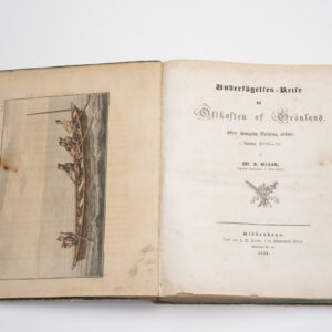
Undersögelses-reise til östkysten af Groenland: efter Kongelig Befaling, udført i Aaren 1828-31.
- $2,000
- The definitive reconnaissance of Greenland’s east coast and a milestone in Arctic exploration.
-
-
-
-
Add to cart
 Quick View
 - Atlases & Books, Polar - Arctic
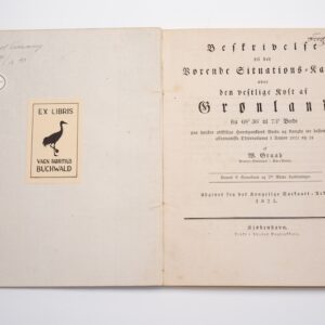
Beskrivelse til det vorende Situations-Kaart over den vestlige kyst af Grønland.
- $2,200
- The first modern pilot chart of Greenland’s west coast and the foundation of Graah’s Arctic legacy.
-
-