-
-
Add to cartQuick View
- San Francisco
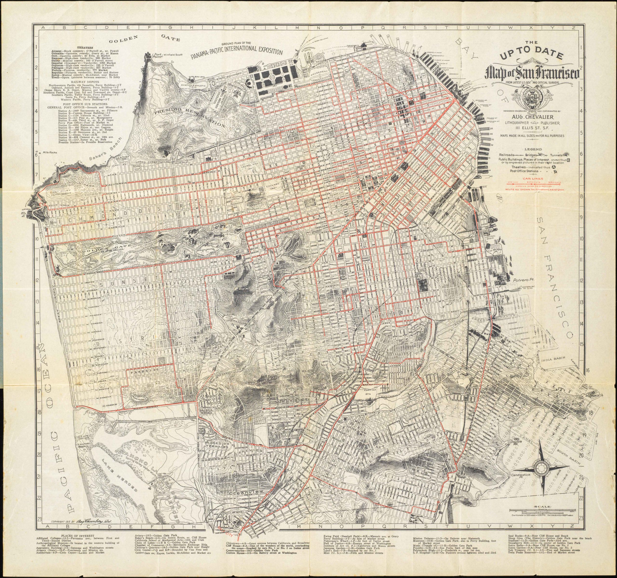
The up to date map of San Francisco: from latest U. S. Gov. and official surveys.
- $875
- Scarce pocket map by the famous August Chevalier.
-
Add to cart
-
-
Add to cartQuick View
- San Francisco, Bay Area & Silicon Valley
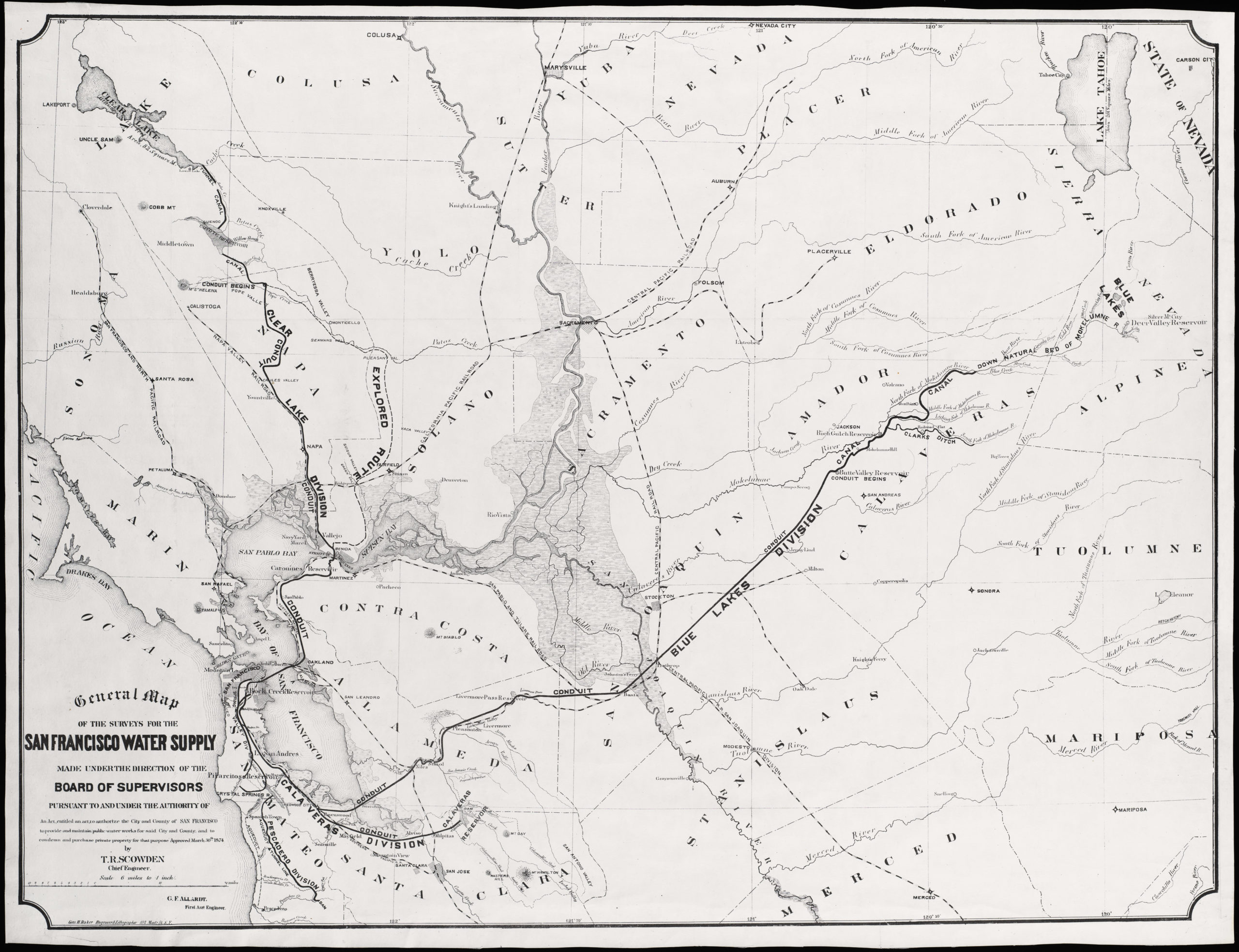
General Map of the Surveys for the San Francisco Water Supply made under the direction of the Board of Supervisors…
- $600
- Large, impressive San Francisco water supply system map.
-
Add to cart
-
-
Add to cartQuick View
- Eastern Mediterranean - Holy Land
[Old Damascus]
- $1,900
- Unrecorded large-scale cyanotype archaeological plan of Old Damascus during the Crusades.
-
Add to cart
-
-
Add to cartQuick View
- Atlases & Books
Narrative of a Voyage to the Pacific and Beering’s Strait, to Co-operate with the Polar Expeditions: Performed in His Majesty’s Ship Blossom, Under the Command of Captain F.W. Beechey…in the Years 1825, 26, 27, 28
- $5,500
- The preferred large-paper Admiralty issue of Beechey’s famous account, including a description of California.
-
Add to cart
-
-
Add to cartQuick View
- California, Pacific Northwest - Hawaii - Alaska
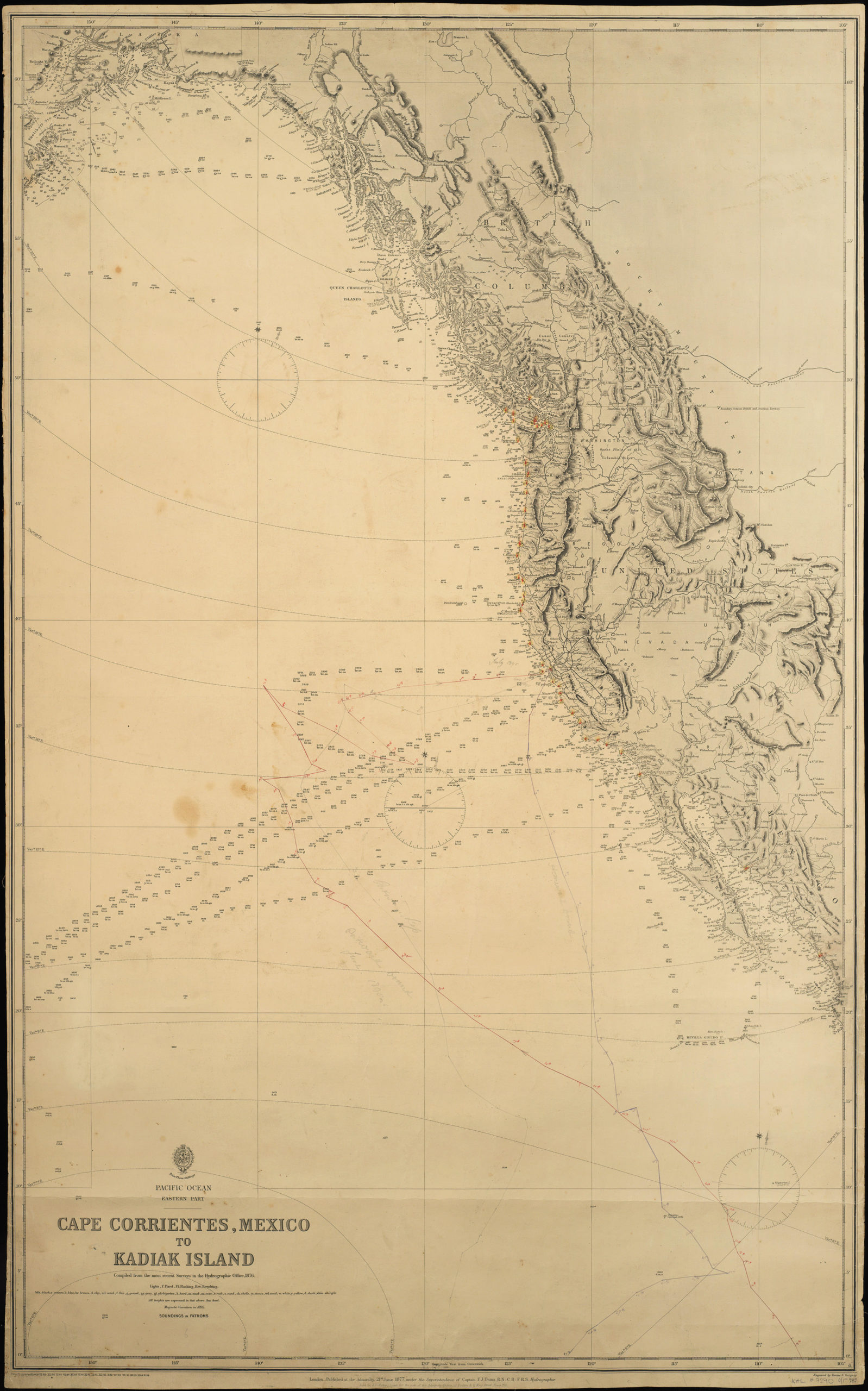
Pacific Ocean. Eastern Part. Cape Corrientes, Mexico to Kadiak Island. Compiled from the most recent Surveys in the Hydrographical Office. 1876. London, 21 June 1877
- $900
- Large, detailed sea chart of the West Coast of North America with added notations and sighting information.
-
Add to cart
-
-
Add to cartQuick View
- United States, East & Midwest United States
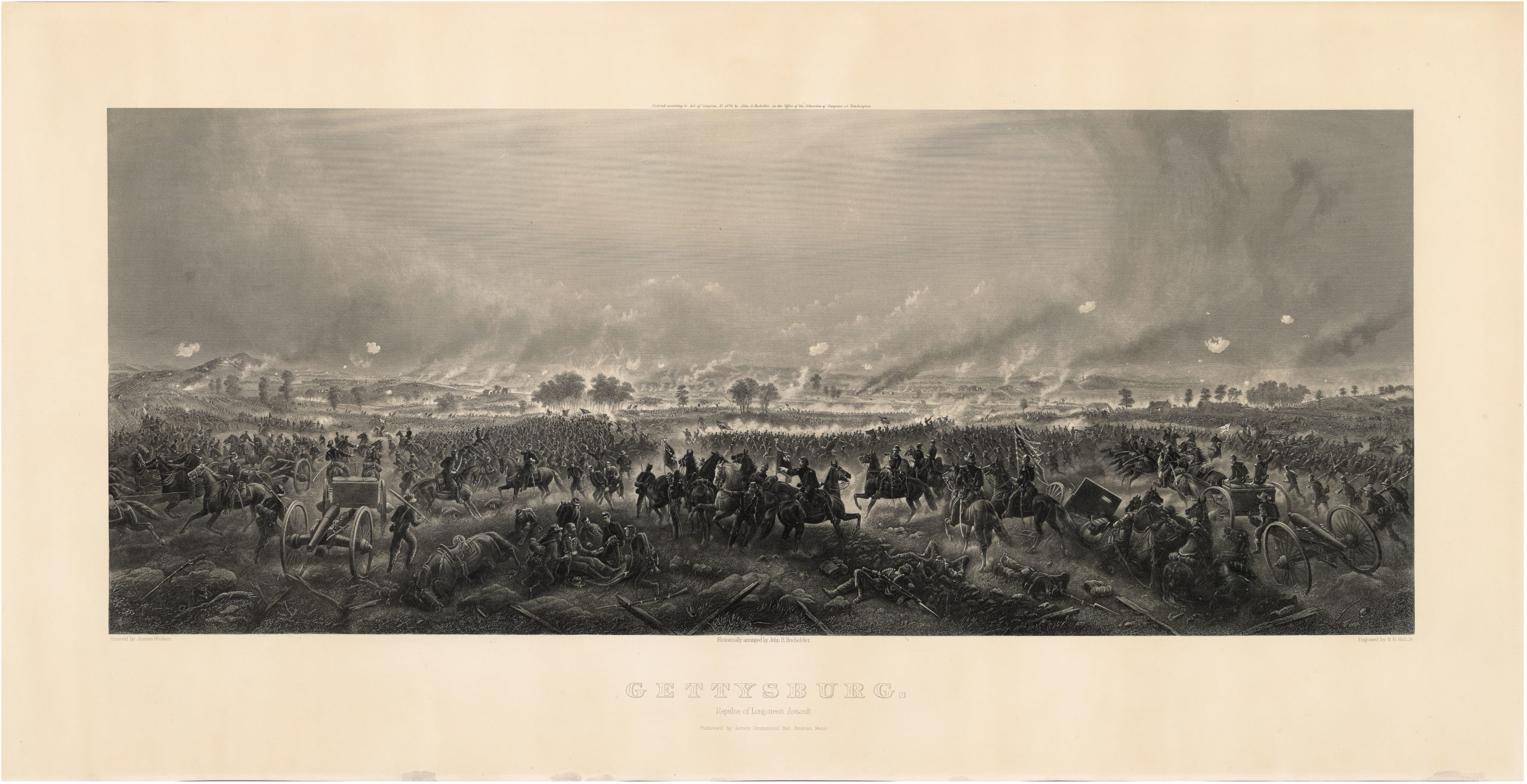
Gettysburg. Repulse of Longstreet’s Assault.
- $1,900
- Bachelder’s magnificent rendering of Longstreet’s Assault (Pickett's Charge).
-
Add to cart
-
-
Add to cartQuick View
- Featured Maps & Views, San Francisco
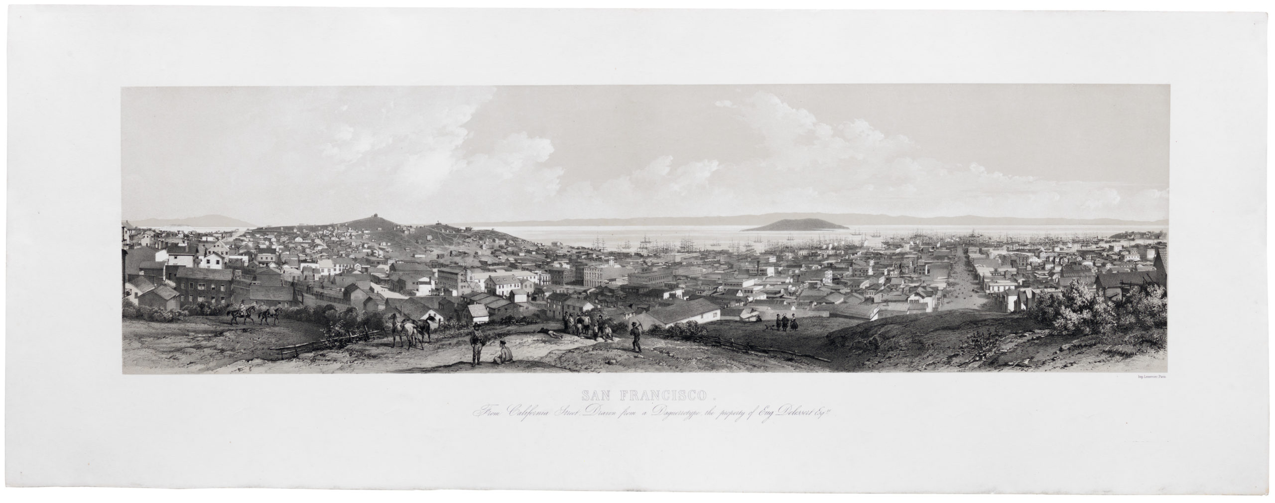
San Francisco. From California Street. Drawn from a Daguerreotype, the property of Eugene Delessert, Esq.re
- $8,000
- Spectacular Gold Rush era view of San Francisco published in Paris.
-
Add to cart
-
-
Add to cartQuick View
- Arabia and the Red Sea
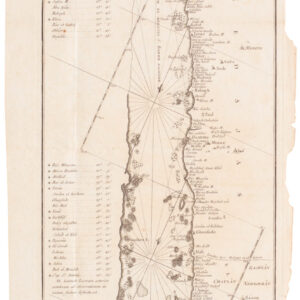
Mare Rubrum seu Sinus Arabicus ad observationes maximam partem ab Auctore annis MDCCLXII et MDCCLXIII institutas delineatus a C. Niebuhr
- Carsten Niebuhr's transformative map of the Red Sea.
-
Add to cart

![[Old Damascus]](https://neatlinemaps.com/wp-content/uploads/2019/09/NL-00657-scaled-300x300.jpg)
![[Old Damascus]](https://neatlinemaps.com/wp-content/uploads/2019/09/NL-00657-scaled.jpg)


