-
-
Add to cart
 Quick View
 - Asia
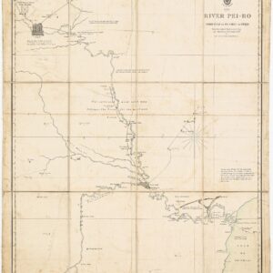
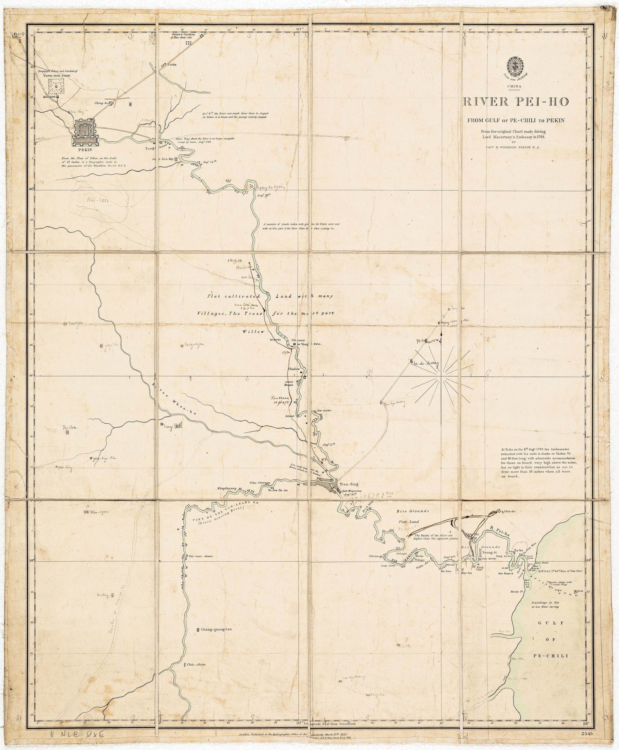
River Pei-Ho From Gulf of Pe-Chili to Pekin
- $1,900
- Admiralty Chart of the Hai River with manuscript additions suggesting use in the field during the Second Opium War.
-
-
-
-
-
Add to cart
![[With Extensive Contemporary Annotations] Ordnance Survey of the Peninsula of Sinai Made in 1868-9.](https://neatlinemaps.com/wp-content/uploads/2020/05/NL-00842_Thumbnail-300x300.jpg)
![[With Extensive Contemporary Annotations] Ordnance Survey of the Peninsula of Sinai Made in 1868-9.](https://neatlinemaps.com/wp-content/uploads/2020/05/NL-00842-scaled.jpg) Quick View
Quick View - Africa, Arabia and the Red Sea
[With Extensive Contemporary Annotations] Ordnance Survey of the Peninsula of Sinai Made in 1868-9.
- $3,500
- An annotated map of the Sinai from the height of the British Empire.
-
-
![[With Extensive Contemporary Annotations] Ordnance Survey of the Peninsula of Sinai Made in 1868-9.](https://neatlinemaps.com/wp-content/uploads/2020/05/NL-00842-scaled-300x300.jpg)
-
-
-
Add to cart
 Quick View
 - Germany & the Netherlands
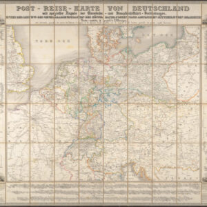
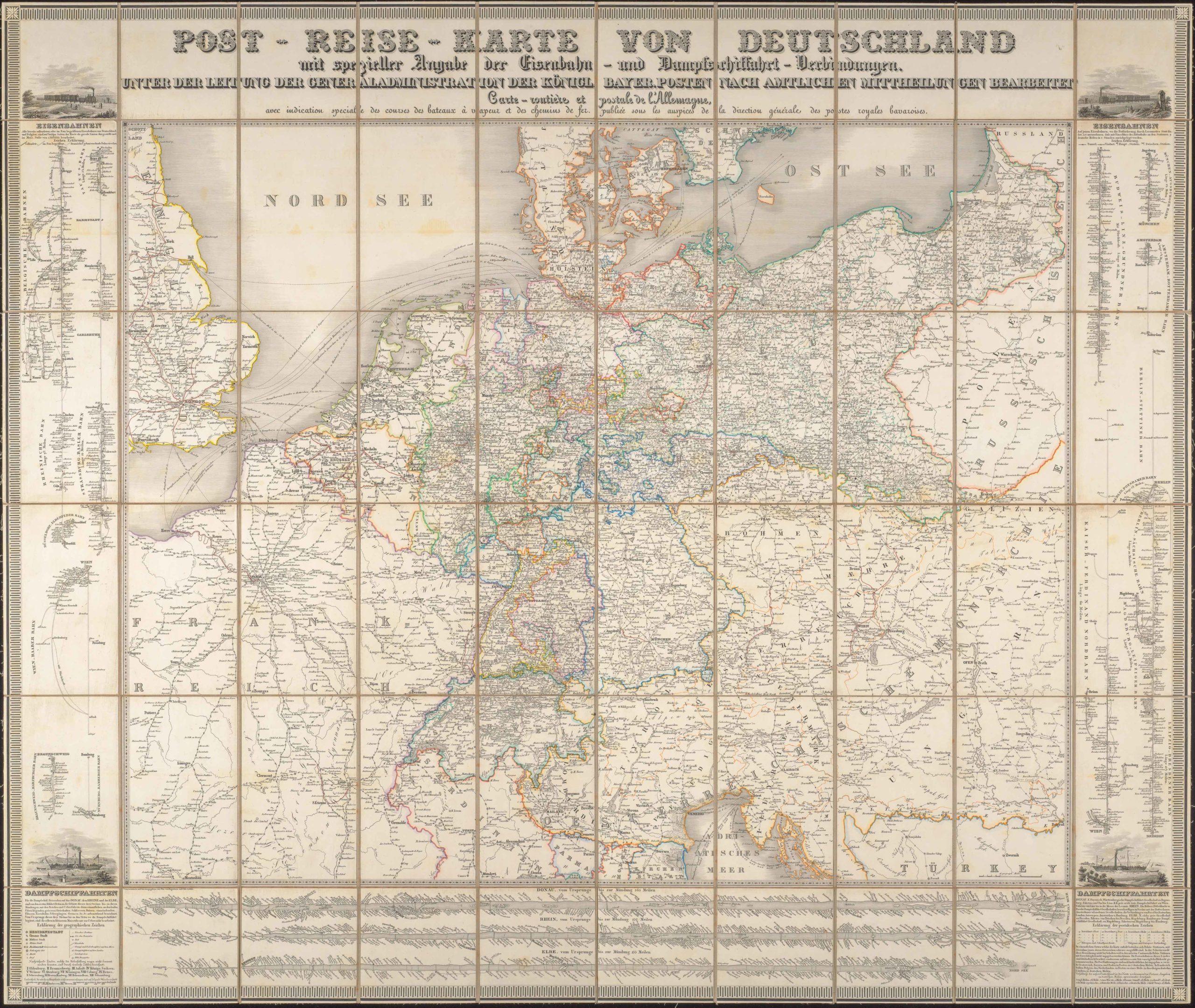
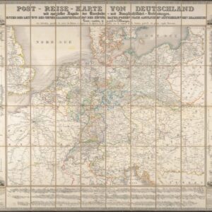
Post-Reise-Karte von Deutschland mit spezieller Angabe der Eisenbahn- und Dampfschiffahrt-Verbindungen, unter der Leitung der Generaladministration der Königl. Bayer. Posten nach amtlichen Mittheilungen bearbeitet. Carte routi’ere et postale de l’Allemagne.
- $425
- A large-format 1843 post-road and transportation map of the German Confederation.
-
-
-
-
-
Add to cart
 Quick View
 - Bird's-eye-views, California
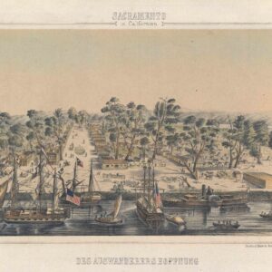
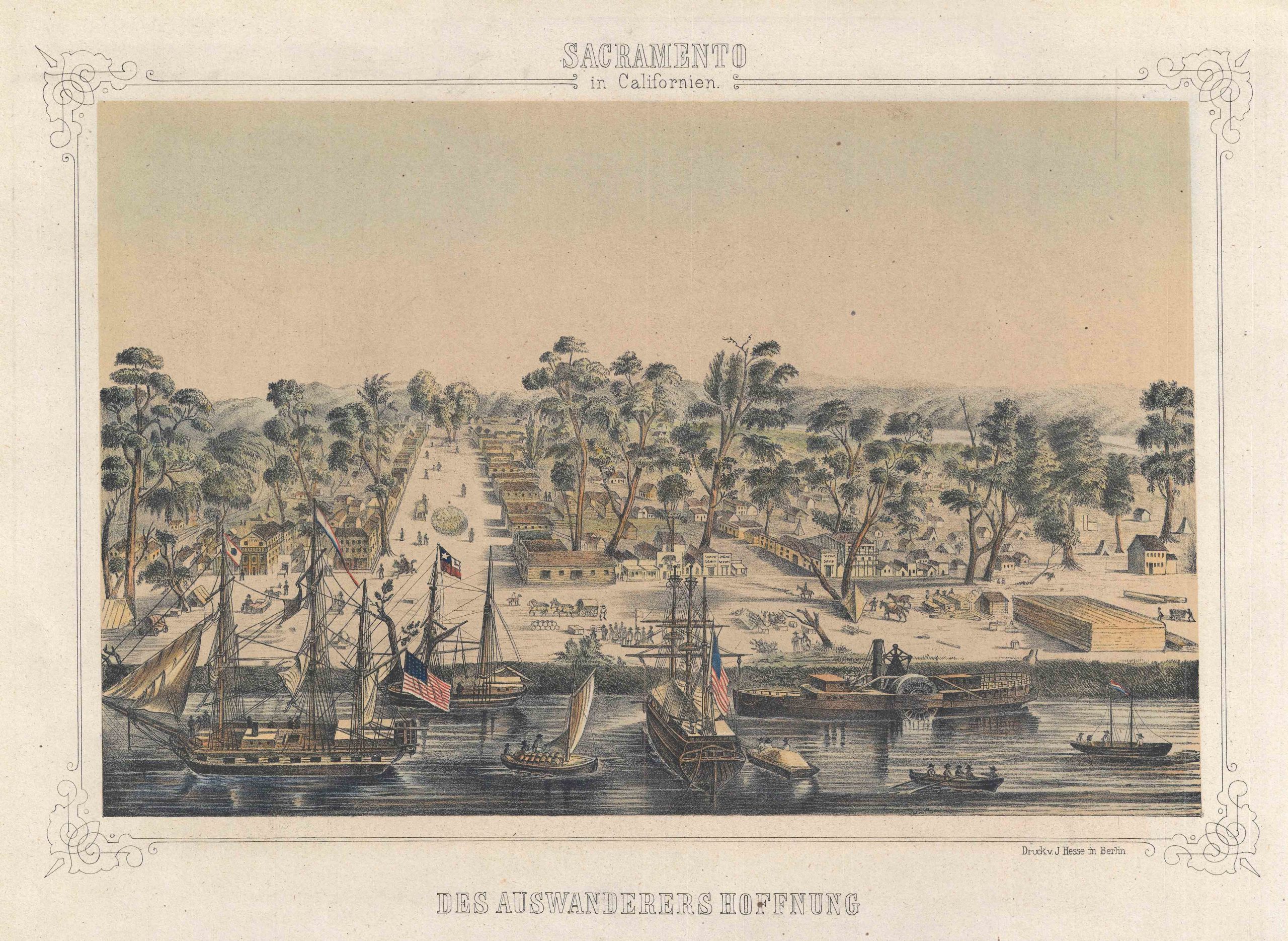
Sacramento in Californien: Des Auswanderers Hoffnung.
- $1,250
- Gold Rush view of old town Sacramento around the time of California's statehood.
-
-
-