-
-
Add to cartQuick View
- Africa, Curiosities - Miscellanea
Passage System of the Great Pyramid of Giza in the Land of Egypt June – July 1909.
- $2,500
- Uncovering the secrets of the Great Pyramid.
-
Add to cart
-
-
Add to cartQuick View
- Africa
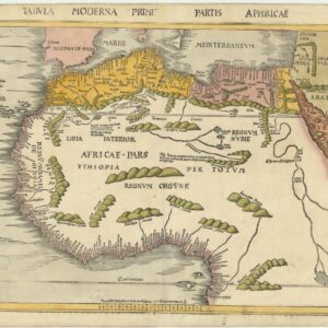
Tabula Moderna Prime Partis Aphricae
- $8,000
- Gorgeous example of famed cartographer Martin Waldessemüller’s double-page woodcut map of North and West Africa.
-
Add to cart
-
-
Add to cartQuick View
- Africa, Arabia and the Red Sea
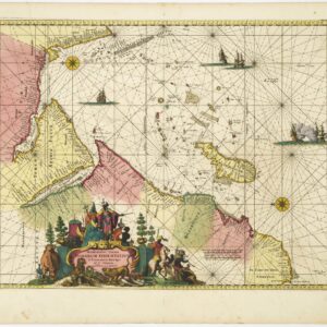
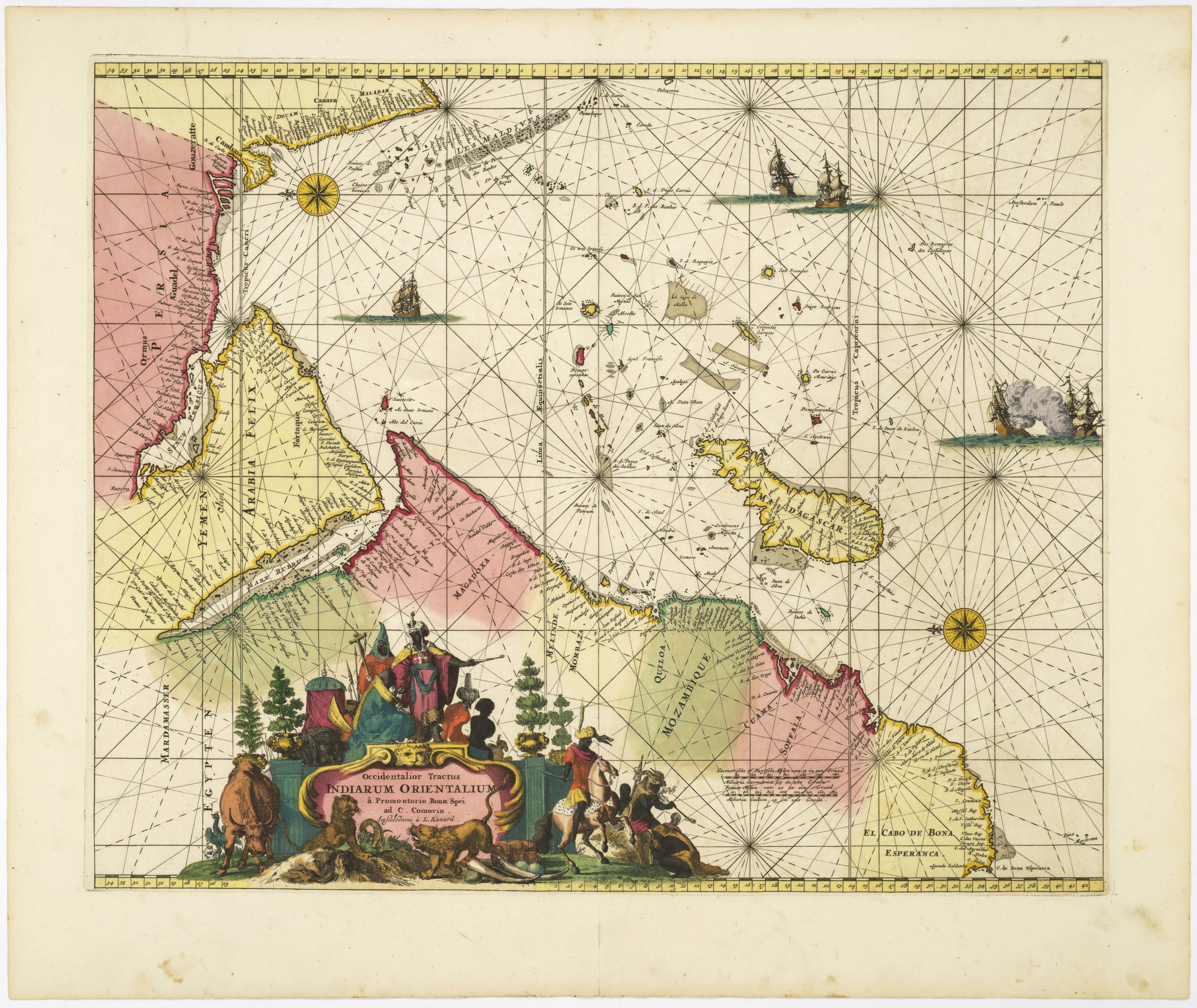
Occidentalior Tractus Indiarum Orientalium à Promontorio Bonae Spei ad C. Comorin
- $1,400
- Stunning Renard sea chart of the Indian Ocean, with East Africa, Arabia, and southern India, from the Atlas de la Navigation.
-
Add to cart
-
-
Add to cartQuick View
- Africa, Arabia and the Red Sea, Asia, Michael's Collection
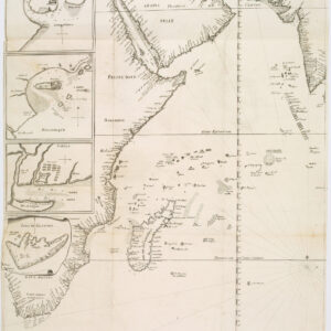
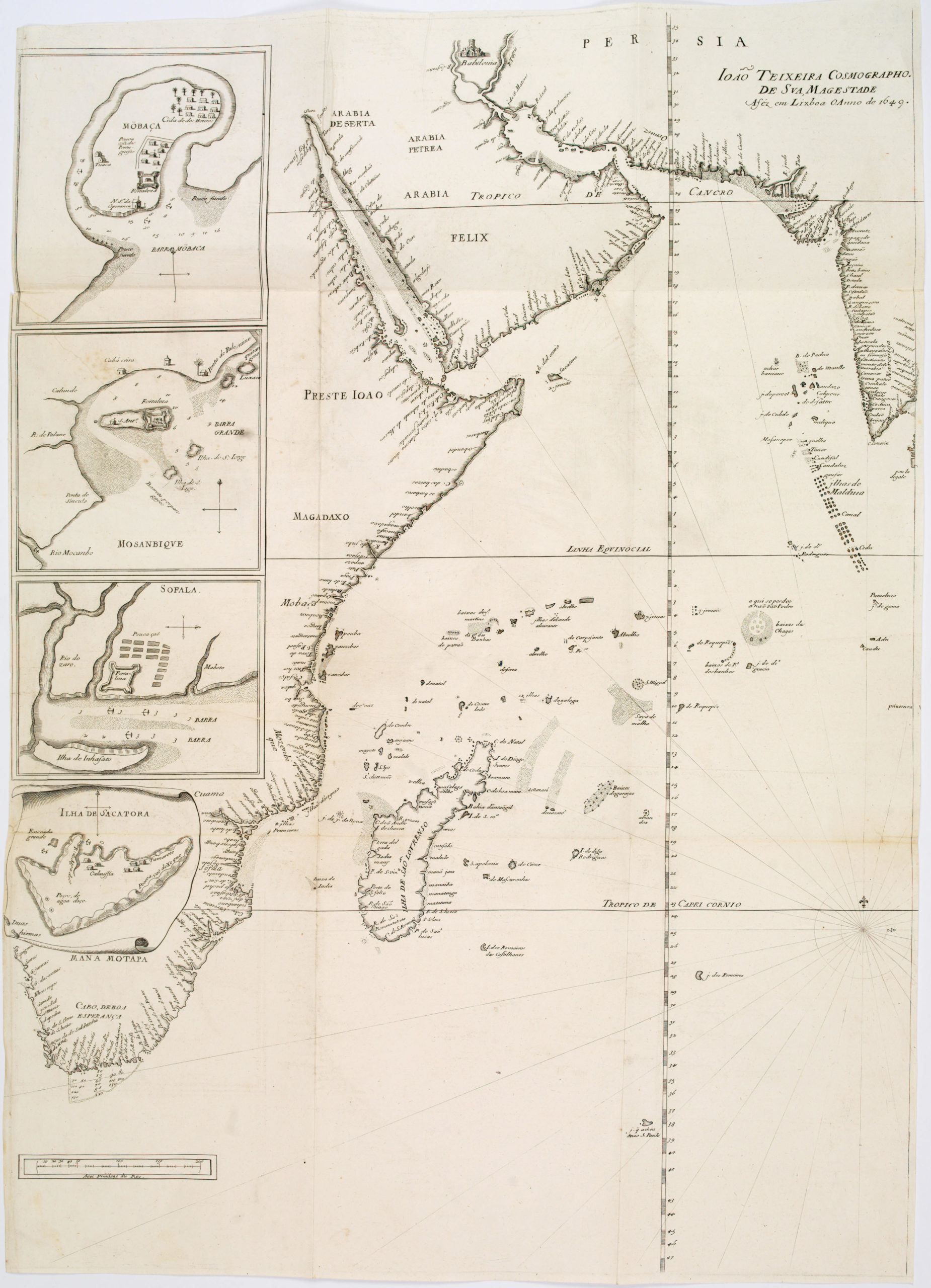
João Teixeira Cosmographo. De sua, Magestade. Aféz em Lixboa o Anno de 1649
- $6,000
- Rare 17th century portolan-style chart designed for use aboard Portuguese merchant vessels.
-
Add to cart
-
-
Add to cartQuick View
- Africa
Fessae, et Marocchi Regna Africae Celeberr.
- $700
- Ortelius’s fine map of Morocco, with an inset of Pigaffetta’s Kingdom of Congo.
-
Add to cart
-
-
Add to cartQuick View
- Africa
[Title on Verso] Tabula Prima Aphricae Continent Mauritania Tingitanam, & Mauritaniam Caesariensem
- $775
- Colorful 1541 woodcut map of Morocco with old manuscript notations.
-
Add to cart

![[Title on Verso] Tabula Prima Aphricae Continent Mauritania Tingitanam, & Mauritaniam Caesariensem](https://neatlinemaps.com/wp-content/uploads/2019/09/NL-00293_Thumbnail-300x300.jpg)
![[Title on Verso] Tabula Prima Aphricae Continent Mauritania Tingitanam, & Mauritaniam Caesariensem](https://neatlinemaps.com/wp-content/uploads/2019/09/NL-00293_r-scaled.jpg)
![[Title on Verso] Tabula Prima Aphricae Continent Mauritania Tingitanam, & Mauritaniam Caesariensem](https://neatlinemaps.com/wp-content/uploads/2019/09/NL-00293_r-scaled-300x300.jpg)